Directions
This rental is located approximately 32 miles up the Thompson River Road (County Road 56 on maps, County Road 556 on the ground) from its junction with Montana Highway 200, five miles east of Thompson Falls, Montana. It may also be accessed from U.S. Highway 2 by turning south on the Thompson River Road (County Road 56 on maps, County Road 556 on the ground) between McGregor Lake and Lower Thompson Lake, approximately 40 miles west of Kalispell, Montana. After leaving Highway 2 or 200, area roads are low standard gravel or dirt and are often rough. Area roads also serve logging trucks and should be driven with care. During the winter, it may be necessary to hike, ski or snowmobile for at least a mile to the cabin, as roads are not always plowed. Maps are available online or for purchase by calling the Plains/Thompson Falls Ranger District.
Phone
406-826-3821
Activities
BIKING, HISTORIC & CULTURAL SITE, CAMPING, FISHING, HIKING, HUNTING, WINTER SPORTS, WILDLIFE VIEWING
Keywords
BEGS,LOLO NF – FS
Related Link(s)
Overview
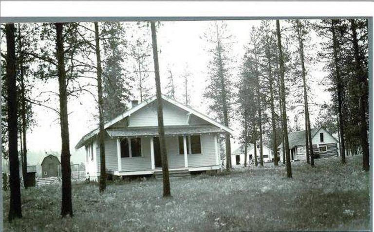
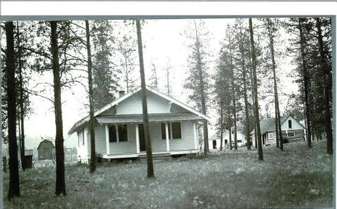
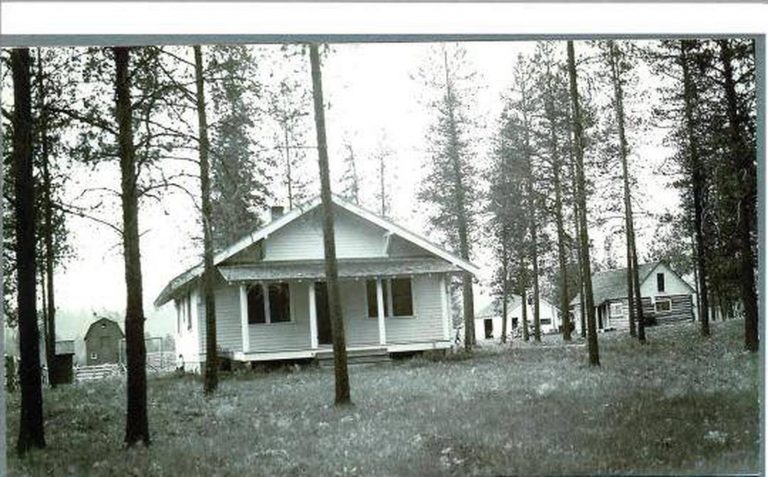
The Bend Guard Station is located in a historic site within the Lolo National Forest of northwestern Montana. It is equipped with modern features, including a full-service kitchen and bathrooms, and provides guests with access to a variety of activities.
The cabin sits within an open meadow surrounded by an evergreen forest, providing beautiful scenery during any season.
Recreation
The Bend area offers opportunities for a variety of outdoor recreation experiences, including hiking, fishing, mountain biking, cross country skiing, snowshoeing and berry picking. A variety of trails snake around the campground and through the forest, several of which are accessible near the cabin.
The Thompson River is a short walk from the cabin. Anglers might see a variety of trout as well as mountain whitefish in the river.
Facilities
The two-story cabin has four bedrooms, two bathrooms, a large kitchen and a living area. Beds with mattresses can sleep up to 16 people. It has electric heaters, flush toilets, hot showers and a fully furnished kitchen, with modern appliances including a two electric stoves, a microwave, two refrigerators and two sinks with running hot and cold water. Basic cooking and eating utensils are also supplied. Guests will need to bring their own bedding, food, toilet paper and garbage bags. The cabin will need to be cleaned before leaving and basic cleaning equipment is provided. The cabin is available to rent year-round, except for the month of May, when it is reserved for administrative and educational uses. A key code will be provided after a reservation is made. The key code gives you access to the entry gate and a lock box, which holds the key to unlock the cabin. Please make sure to return the key to the lock box before leaving the facility.
Natural Features
The 3,200-foot elevation site has multiple structures and has previously been used as a ranger station for the old Cabinet National Forest, which was divided by the Forest Service in 1954. The original log cabin is on-site and was constructed in 1911. While there are several buildings at Bend, the only one available for recreation rental use is the combined bunkhouse and cookhouse building. It was built in 1923 to house Forest Service work crews and rangers working in the area and was remodeled in 1984. The 2 million-acre forest includes four wilderness areas and a wide variety of trees, plants and wildlife. The area is home to mountain goats, bighorn sheep, elk, moose, deer and grizzly and black bears. Both the bald and golden eagle reside in the forest, along with trumpeter swan, herons and dozens of varieties of duck. The cabin is accessible by vehicle, but requires high-clearance with tire chains during winter months. The roads leading to the cabin may not be plowed on a regular basis in the winter. Four-wheel drive is highly recommended. There is no cell phone service or a land line at Bend. The nearest cell phone service is a few miles away. Guests are responsible for their own travel arrangements and safety, and must bring several of their own amenities.
Nearby Attractions
Fishing and water sports are available at Thompson and McGregor Lakes, both of which are a 30-minute drive from the cabin.


