Directions
From Whitefish, Montana, take US Rt. 93 north for 4 miles until you reach Twin Bridges Rd., turn left onto Twin Bridges Rd. and travel 1.4 miles to the Tally Lake campground sign. Turn right after the sign, staying on Twin Bridges Rd., and proceed 1 mile to another campground sign at Farm to Market. Turn left onto Farm to Market and go 2 miles to Tally Lake Rd., turn right onto Tally Lake Rd. (dirt) and go 9 miles to campground sign. Turn right at the sign into the campground.
Phone
406-752-7924 FOR RESERVATIONS CALL: 1-877-444-6777
Activities
BIKING, BOATING, CAMPING, INTERPRETIVE PROGRAMS, FISHING, HIKING, WATER SPORTS, WILDLIFE VIEWING, SWIMMING SITE
Keywords
TALY,Tally Lake,Tally,FLATHEAD NF – FS
Related Link(s)
Overview
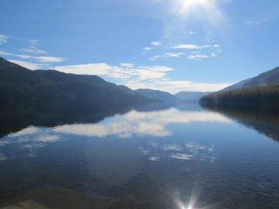
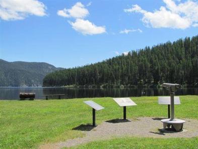
Tally Lake Campground is located on the northern shores of its namesake lake, west of Whitefish, Montana. The campground is popular with locals and tourists visiting the Flathead National Forest and offers a variety of recreation facilities and activities for the whole family.
Recreation
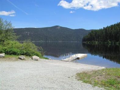
Hiking, horseback riding and biking trails wind around the Tally Lake Campground and the lake. Wildlife like waterfowl, bald eagles and migratory birds are commonly spotted. (No horses are allowed in the campground) A dock provides access to the lake’s best fishing, which includes kokanee salmon, a variety of trout and northern pike. Visitors also enjoy boating, water skiing and other water recreation on the 1,326 acres of Tally Lake. This campground also offers Kayak, Paddleboard and Canoe rentals.
Facilities
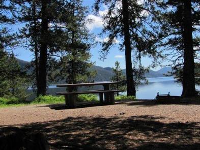
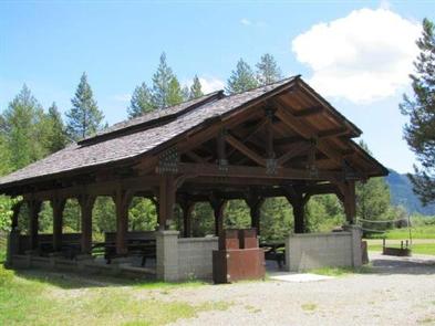
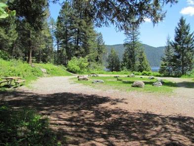
The campground offers 39 campsites for tent and RV camping, 17 being first come, first serve. It provides access to a boat ramp, an open air pavilion with private volleyball net, beaches and picnic areas and public volleyball net.
Campsites are equipped with tables and campfire rings with grills. Accessible vault toilets and drinking water are provided. As well as a dump station with a water fill station. Water spigots throughout the campground are not for filling your RV, only your jugs of drinking water. An on-site host is available to answer questions and provide additional information.
Natural Features
The campground is nestled in the highlands of northwestern Montana, adjacent to Tally Lake, which is the deepest natural lake in Montana. It sits in a mature forest of Western Larch and Douglas fir trees.
Nearby Attractions
The popular Whitefish Lake is about 20 miles from the campground. Visitors to the area also enjoy the Forest Service Summit Nature Center at Whitefish Mountain Resort, located about 25 miles away and accessed by the resort chairlift or the Danny On hiking trail.
Charges & Cancellations
Cancellations made within 14 days of arrival will be “considered” for a refund, by the concessionaire, of Camping fees only and will automatically forfeit the first nights fee. Day of Arrival cancellations must be turned in by calling 1-877-444-6777, then followed up with a call to Cheryl at 406-752-PWAI (7924) or 406-404-4164 to get the information to the campground and to be considered for any refund.

