Directions
Lid Creek Campground is located 15 miles south of Hungry Horse, Montana, on the West Side Reservoir Road 895. To find the West Side Reservoir Road, turn off of Highway 2 just past milepost 144. Take the paved West Side Reservoir Road across the Hungry Horse Dam and continue for another 11 miles to the campground.
The West Side Reservoir Road is narrow with many switchbacks. Not suitable for larger RV’s. Please use caution.
Phone
406-752-7924 FOR RESERVATIONS CALL: 1-877-444-6777
Activities
BIKING, BOATING, CAMPING, FISHING, HIKING, WILDLIFE VIEWING, SWIMMING SITE
Keywords
LIDC,LID CREEK,FLATHEAD NF – FS
Related Link(s)
Overview
Lid Creek Campground lies in the heart of the Rocky Mountains, west of the Continental Divide and just south of the Canadian border.
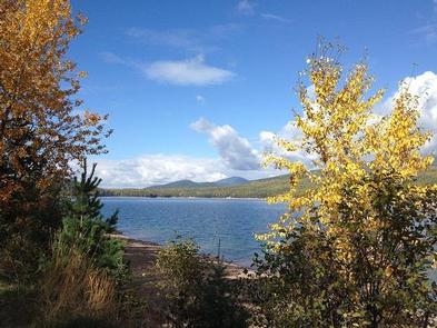
Spectacular views and ample opportunities for recreation surround the campground, keeping visitors coming back to the area again and again.
Recreation
Visitors to the area enjoy a variety of biking and hiking trails that begin near the campground and wind around the reservoir.
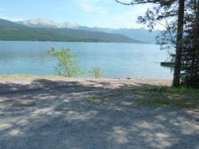
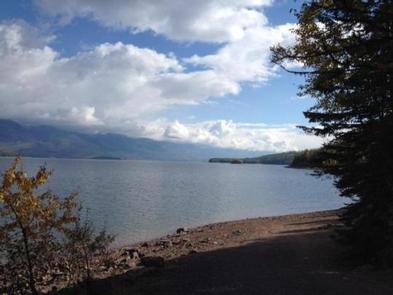
Boating, swimming and fishing are excellent pastimes on the 27,750-acre Hungry Horse Reservoir. Anglers can expect a catch of cutthroat trout and other varieties.
Facilities
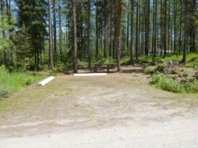
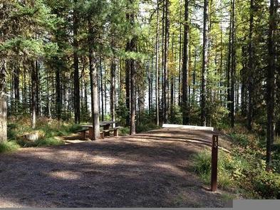
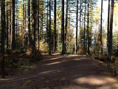
The campground offers 23 campsites, several of which are first-come, fist-served sites for tent and RV camping. Each site is equipped with tables and campfire rings with grills.
Vault toilets are provided, but drinking water is not available at the campground. Though it is not a fill station, Drinking water can be found at the Lost Johnny Point Campground for your water jugs and is located about 5 miles north of Lid Creek.
Natural Features
The campground is located along the Hungry Horse Reservoir within the Flathead National Forest in northwestern Montana. It is nestled in a mixed forest of conifers at an elevation of 3,600 feet. The area is popular for its plentiful huckleberry bushes.
Home to lynx, grizzly bear, and bull trout and with numerous lakes, streams, and rivers to enjoy, the forest is a premiere destination for visitors.
Nearby Attractions
Lid Creek Campground is just 23 miles southwest of the West Glacier entrance into Glacier National Park.
Charges & Cancellations
Cancellations made within 14 days of arrival will be “considered” for a refund, by the concessionaire, of Camping fees only and will automatically forfeit the first nights fee. Day of Arrival cancellations must be turned in by calling 1-877-444-6777, then followed up with a call to Cheryl at 406-752-PWAI (7924) or 406-404-4164 to get the information to the campground and to be considered for any refund.

