
Directions
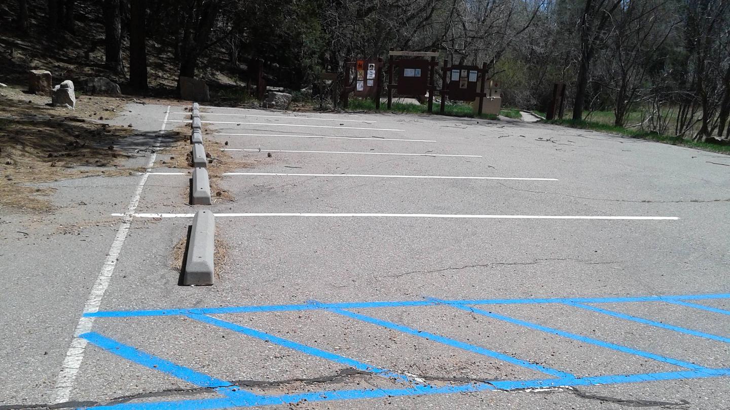
From Albuquerque, drive east on I-40 to Exit 175. Proceed north on Highway 14 about 7 miles to Highway 536. Turn onto Highway 536 and wind your way up. Look for signage for Cienega and Sulphur picnic sites on your left. They share the same entrance. As you turn into the entrance to Cienega and Sulphur Picnic sites, Sulphur is directly to the right as you enter and Cienega entrance is further up and to your left. The road to Cienega Picnic site continues for about a 1/2 mile drive into the woods. When you arrive at the parking area, turn right and look to your right until you see the gated site. There is a sign that will direct you to Cienega Picnic site. REMEMBER to pick up your key at Sandia Ranger District. (See: Know Before you Go below)
Phone
505-281-3304
Activities
CLIMBING, HIKING, WILDLIFE VIEWING, DAY USE AREA
Keywords
CIEN,LA CIENEGA,CIBOLA NF – FS
Related Link(s)
New Mexico State Road Conditions
Overview
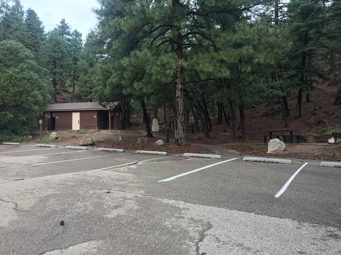
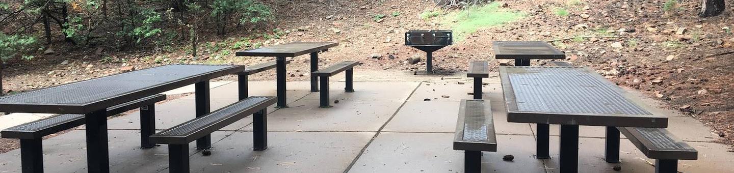
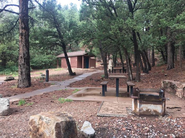
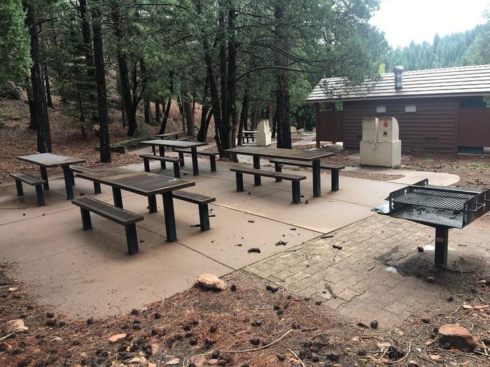
Beautiful, shady, cool and green are just a few words that recreationists have used to describe the Cienega Group Picnic site. It is fairly flat, accessible, semi-private and accommodates up to fifty people. There are grills, bear proof trash containers and vault toilets provided and no shelter other than the surrounding shade trees. A stream, which draws birds and other wildlife, runs through the area. There is no overnight camping at Cienega.
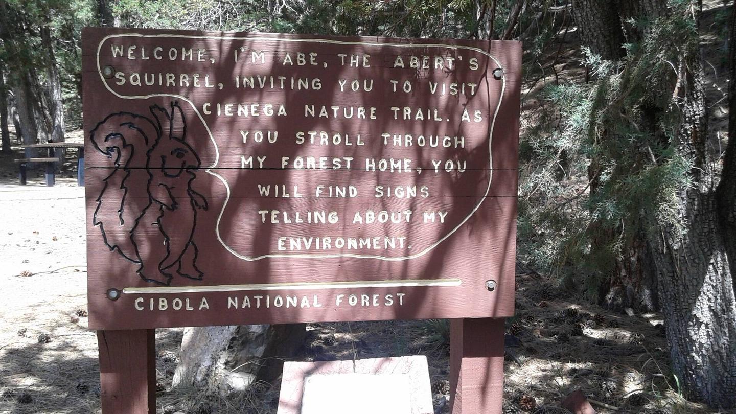
Cienega’s accessible interpretive trail/sidewalk winds around the picnic site and provides a great learning experience for those who take the time to check it out. There is an accesible patio near the beginning of the interpretive trail that is suitable for a picnic. All you need is a folding table for everyone to gather around at mealtime.
Whether it’s a picnic or a wedding, Cienega Picnic site is a beautiful setting in which to enjoy the outdoors.
Recreation
A variety of hiking and horseback riding trails are available from within the picnic area, including one leading to the mountain crest. The nearly 10-mile round-trip trail winds through a fir forest, abundant with wildflowers. Much of the hike is in the shade, although the terrain can be rough. Day hikes are available along the route. In non-drought times, the trails follow a mountain stream with a beautiful travertine waterfall. Make sure to bring a detailed trail map such as the Sandia Mountain Wilderness map, or the Sandia Mountain Trails Guide.
An accessible interpretive trail leads along the nearby stream and meadow, called “La Cienega” which means wet meadow. This unique trail was cooperatively built, by the New Mexico Association for the Blind and the Forest Service, for persons with a disability or otherwise limited physical mobility.
Facilities
The picnic site offers a semi-private space that can accommodate up to 50 people. There is no shelter, however, the trees provide plenty of shade.
Water and electricity, firewood/charcoal are not available at the site. Picnic tables, grills, accessible vault toilets and bear proof trash receptacles are provided. Bears frequent the area; please use appropriate containers for food and garbage. Food Storage Keeping You and Bears Safe
Natural Features
Located approximately a half mile off the 536 Scenic Byway, the Cienega Picnic site is fairly flat. There is a stream that runs through it, that has created a wet meadow. It is encircled by trees and an interpretive trail/sidewalk.
Nearby Attractions
There are privately owned businesses and restaurants all along NM State Road 14 and a museum on your way up the 536 Scenic Byway as you head toward Cienega Group Picnic area.
If you are interested in taking a short jaunt to the very top of the Sandia Mountains, just take a left turn out of the Cienega Group Picnic site parking area, to 536, and then another left onto the Sandia Crest 536 Scenic Byway, and wind your way up.
At the Sandia Crest there is parking, a gift store, snack bar and a lookout deck. There you can see panoramic views from any direction you look. Sunsets are spectacular. It was voted Best Place to Pop the Question in 2011. It is a popular path for motorcyclists and auto touring, with its winding road to the peak.
The Peak area provides two launch pads for hang gliding, which is a popular sport during summer months.