Directions
From Columbia Falls, travel north on Nucleus Avenue and turn east onto Railroad Street at the stop sign. The road becomes North Fork Road as it travels over the railroad overpass. Drive past the Schnaus and Ford rental cabins, and Wurtz is located on the west side of the road. Use caution during the winter, as the gravel road is only intermittently plowed. Chains and four-wheel drive are required for passage.
Phone
406-387-3800
Activities
BOATING, CAMPING, FISHING, HIKING, WINTER SPORTS, WILDLIFE VIEWING
Keywords
WURT,WURTZ,WURTZ WORKCENTER,WURTZ HOMESTEAD,FLATHEAD NF – FS
Related Link(s)
Overview
Wurtz Cabin is located just south of the Canadian border, on the North Fork Road near the North Fork of the Flathead River. It is listed on the National Historic Register, offering guests a glimpse into the past. It provides access to a variety of recreational activities, including hiking, boating, fishing and viewing wildlife.
The cabin can accommodate up to 12 people and is fully accessible. It can be accessed by vehicle, however the North Fork Road is gravel and only intermittently plowed in the winter. Four-wheel drive and chains are recommended for passage during winter months. Guests are responsible for their own travel arrangements and safety, and must bring several of their own amenities.
Recreation
In addition to wildlife viewing, visitors can enjoy canoeing, kayaking and fishing in the nearby river. Visitors also enjoy exploring the surrounding terrain on various hikes through the area. Cross country skiing, snowshoeing and snowmobiling are available in the winter.
Glacier National Park is nearby, offering scenic driving and opportunities for hiking. It can be accessed at Polebridge, south of the cabin.
Facilities
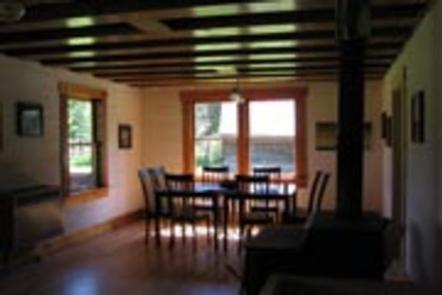
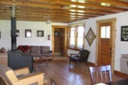
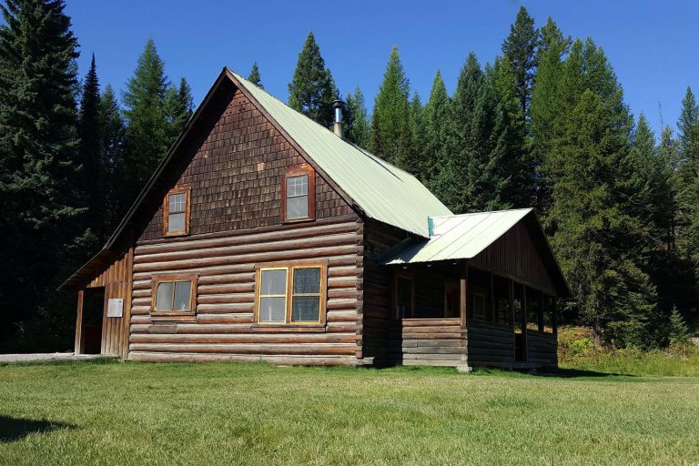
The two-story, rustic log cabin has a covered front porch and flat, grassy lawn. Amenities include a propane cook stove, propane lights, a wood stove and an outdoor vault toilet. Two double beds and eight single beds are provided. The kitchen is equipped with a table and chairs, as well as basic cooking and eating utensils.
No water or electricity is available. Guests will need to bring water, food, bedding, flashlights, garbage bags and any other necessities. Click here for more cabin details.
Natural Features
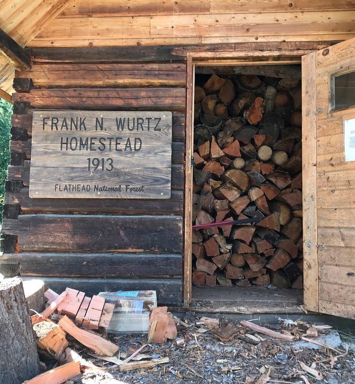
The cabin was originally built by Frank and Ella Wurtz, who first settled the land in 1913 and expanded their home as their family grew in number. The family lived on-site through the 1960s and volunteers helped the Forest Service restore the building to its current structure.
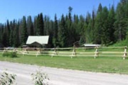
The rear of the cabin is lined with a stand of dense conifers. The front of the cabin faces a grassy lawn that overlooks a line of pine trees with the snow-capped Livingston Range in Glacier National Park visible in the distance.
Nearby Attractions
Polebridge Mercantile is located south of Wurtz and has limited supplies.

