FIDDLE CREEK, CA Campground Reservation, Info, Images, Map, Directions

FIDDLE CREEK, California Campground Images, Info & Reservations

Listen

Directions

From Downieville, travel south on Highway 49 for about 12 miles. The campground is on the left side of the highway.

Phone

(530)478-6253

Activities

BOATING, CAMPING, FISHING, HIKING, HUNTING, WATER SPORTS

Keywords

FIDD,TAHOE NF – FS

Related Link(s)

Rec Area Info & Images

California State Tourism

California State Road Conditions

Overview

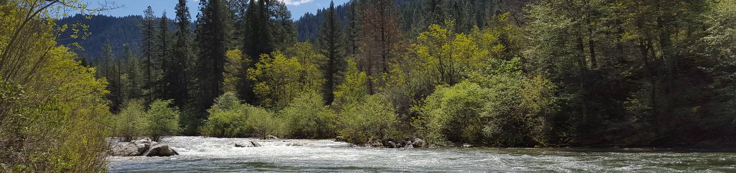
Fiddle Creek Campground is located alongside the North Yuba River, just off Highway 49, about 12 miles from Downieville. Visitors enjoy a wide variety of recreational activities in the area, including hiking, hunting, fishing and mountain biking.  This facility is operated and maintained by the Tahoe National Forest.

Recreation

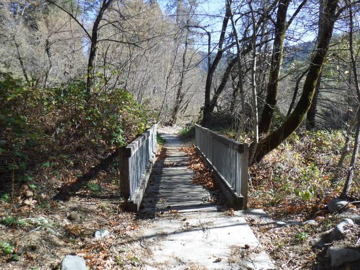
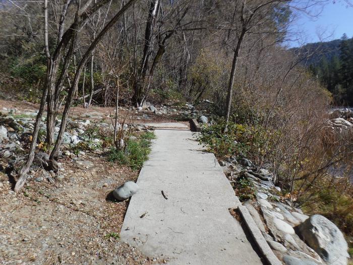
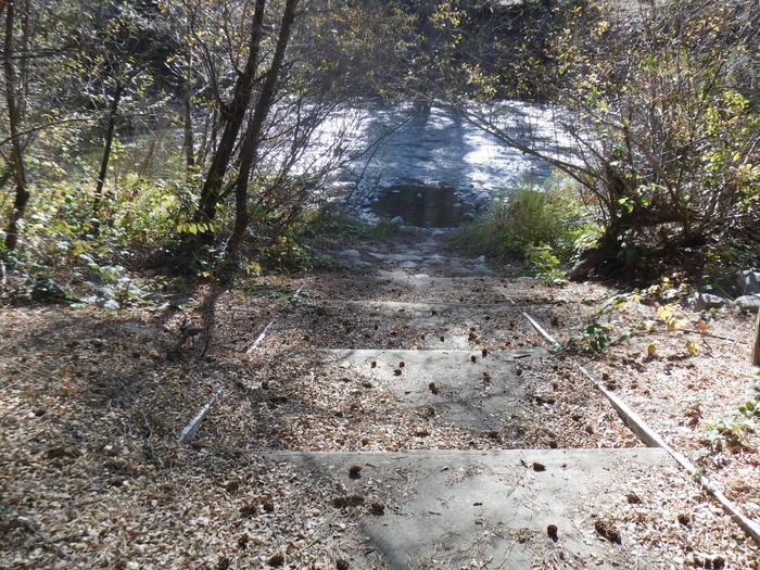
The North Yuba River offers swimming, wading and rainbow trout fishing. Seasonal rafting, kayaking and tubing are popular water activities. Hiking and hunting are available in the surrounding area.   A network of trails crisscrosses the surrounding area. A footbridge accessing the North Yuba Trail is located at nearby  Rocky Rest Campground.

Facilities

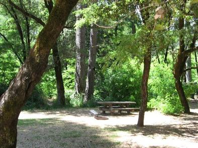
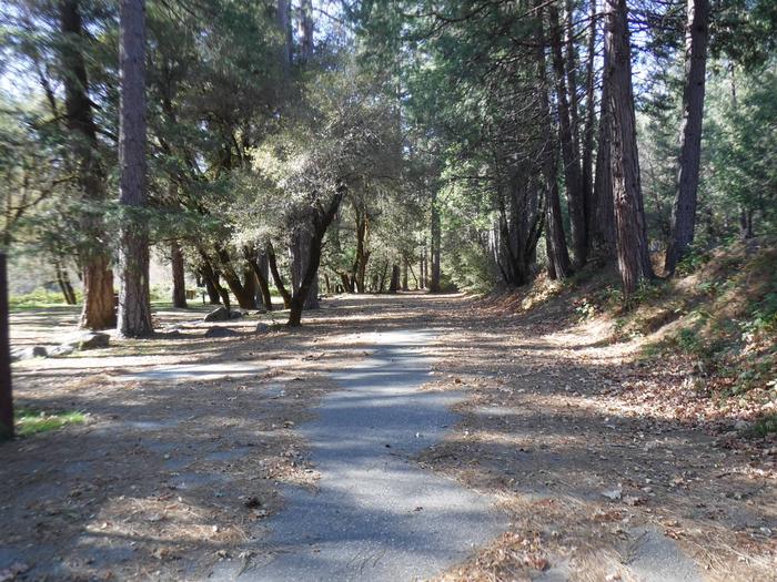
The campground offers several single-family sites, all of which are designated for tent camping only. Each site is equipped with a picnic table, campfire ring and bearproof food locker.  Vault toilets and drinking water are provided.  While located close to the parking areas, campsites cannot be directly accessed by motor vehicles.

Natural Features

The campground stretches along the north bank of the North Yuba River. Stands of oak, maple, locust and pine trees covers the area providing ample shade at this location.

Reservation

More from CampingHiking.net:

HARD ROCK CAMPGROUND, Oregon Campground Images, Info & Reservations

Listen Directions From Blue River, OR, travel 4 miles east on Highway 126 to Aufderheide Drive (Forest Service Road 19). Turn right on Aufderheide Drive and continue south about 3/4 mile. Veer right at the Y and continue 10 miles to the campground. Phone 801-226-3564 Activities FISHING, WILDLIFE VIEWING Keywords

LEWIS CANYON, Arizona Campground Images, Info & Reservations

Listen Directions Drive to Pinedale, Arizona, on State Highway 260, approximately 14 miles northwest of Show Low. Turn south on Forest Road 130 and continue approximately 2.3 miles to Junction 130A. Turn right to the group site, following the signs.  Phone 928-368-2100 Activities BIKING, CAMPING, HIKING Keywords LEWI,APACHE-SITGREAVES NF-FS Related

POSEY LAKE CAMPGROUND, Utah Campground Images, Info & Reservations

Listen Directions From Highway 12 in Escalante, turn north at 300 East at the elementary school at the Posey Lake/Hell’s Backbone sign. Travel 14 miles to junction of Forest Roads 153 and 154, keep left and travel 2 miles to Posey Lake Campground. Site access can be difficult; about 14

EAST FORK CABIN, Montana Campground Images, Info & Reservations

Listen Directions From Sula, travel northwest on Highway 93 for less than a mile. Turn northeast (right) onto East Fork Road/County Road 472 and continue about 16 miles to the cabin. Maps may be purchased by calling the Darby-Sula Ranger District at 406-821-3913. Phone 406-821-3913 Activities HISTORIC & CULTURAL SITE,