


Directions
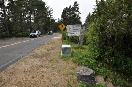
From Florence, OR, travel seven miles south on Highway 101 to the Siltcoos Beach Access Road. Turn right on Siltcoos Beach Access Road and proceed one mile west to Waxmrytle Campground. Turn south (left); the campground entrance is the bridge on the south side on the Siltcoos Beach Road.
Phone
541-271-6000
Activities
CAMPING, FISHING, HIKING, WILDLIFE VIEWING
Keywords
WAXT,SIUSLAW NF – FS
Related Link(s)
Overview
Waxmyrtle Campground is an ideal spot for its proximity to the beach, several hiking trails, and the non-motorized section of open dunes with the comforts of sleeping in a standard site with paved parking, drinking water and flush toilets. Located just 7 miles south of Florence, Waxmyrtle marks the start of the Waxmyrtle Trail, which borders the picturesque Siltcoos River Estuary. Wildlife viewing is a popular pastime for campers. Portions of the nearby estuary are protected nesting areas for the snowy plover, a small shorebird with a tan tail and snowy white underside.
Recreation
The Waxmyrtle Trail offers outstanding views of the lower river estuary and the Pacific Ocean as it winds its way along the river to the beach. Other nearby trails include the Lagoon Trail and Chief Tsiltcoos Trail.
Nearby off-road vehicle trails and open dune riding areas provide hours of fun for off-road enthusiasts.
Facilities
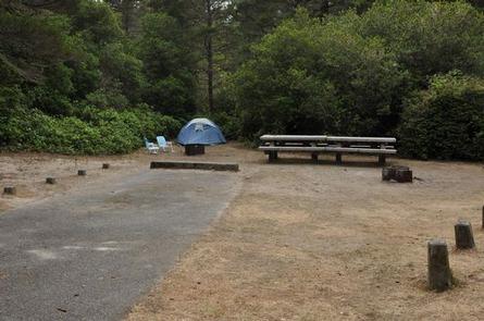
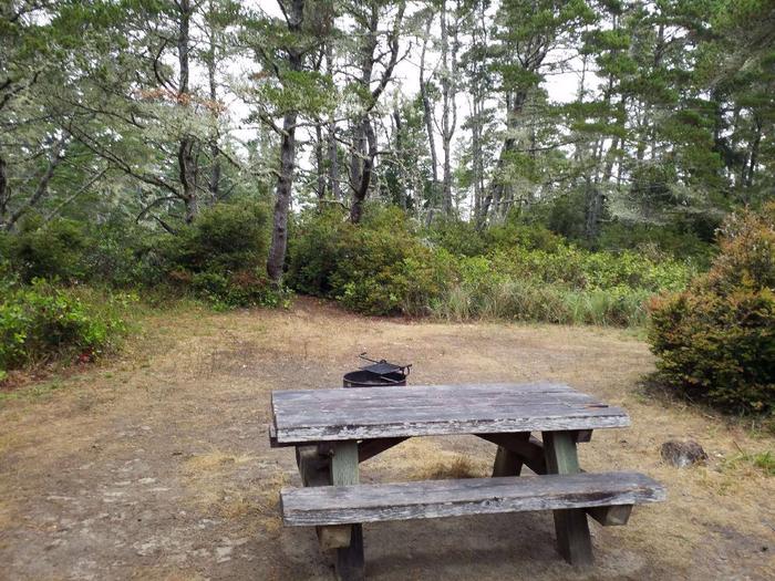
Camping is available from May 1 to September 30 and amenities include drinking water, a campground host, flush toilets picnic tables, fire rings, recycling and trash collection. Parking aprons are paved.
Natural Features
The campground is located near the Siltcoos River among Shore pine, huckleberry, and other coastal shrubs and conifers. Many sites are surrounded by a thick wall of coastal shrubbery, providing ample privacy from neighboring sites.
The campground is part of the Oregon Dunes National Recreation Area, known for its wind-sculpted sand dunes towering up to 500 feet above sea level.
Nearby Attractions
Siltcoos Lake offers bass, cutthroat and rainbow trout fishing.