
Directions
From Robbinsville, North Carolina, continue on Highway 129 north for approximately 6 miles. Turn left on SR # 1145 – Thunderbird Mountain Road. Continue approximately 1.3 miles on Thunderbird Mountain Road to the Cheoah Point Campground. The cabin is located in the Cheoah Point Campground.
Phone
828-479-6431
Activities
CAMPING, FISHING, HIKING, HUNTING, SWIMMING, WATER ACTIVITIES, BIRDING, MARINA
Keywords
CPC1,NFs IN NORTH CAROLINA – FS
Related Link(s)
North Carolina State Road Conditions
Overview
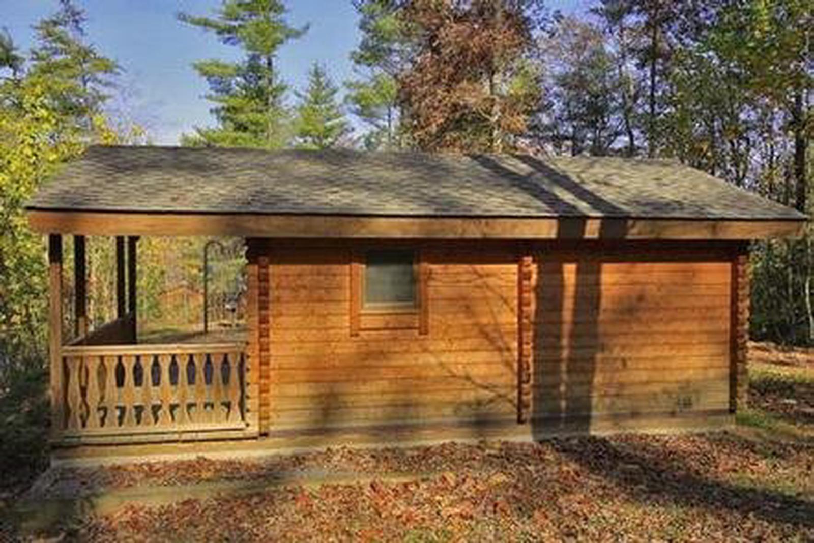
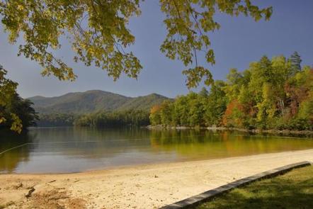
Located in the Cheoah Point Recreation Area in the Nantahala National Forest, this cabin is part of a campground that includes tent and RV sites. The campground is situated on a peninsula in Santeetlah Lake, surrounded by mixed hardwood forest. Cheoah Point Cabin 1 is reservable from April 1- October 31.
Recreation
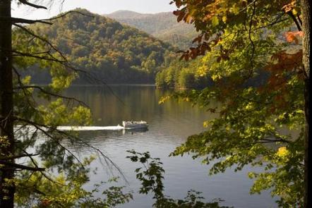
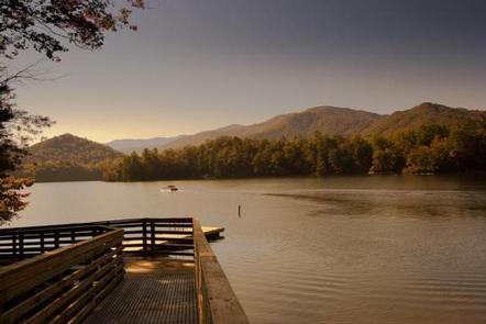
Cheoah Point Recreation Area includes a campground, swim beach and boat ramp. Santeetlah Lake is ideal for fishing, power boating, non-motorized boating, sailing, jet skiing and water skiing. Anglers can find bass, walleye, trout, crappie and bream. The Wauchecha Bald Trail is located directly across from the recreation area, and starts as an easy hike , becoming more difficult throughout its eight mile length. This trail eventually leads to the well-known Appalachian Trail.
Facilities
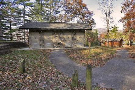
This primitive cabin has two rooms and can sleep up to six people. The front room has a full bed frame and the back room has a set of bunk bed frames. Outside of the cabin is a patio with a charcoal grill, picnic table, lantern post and electric outlet unit. There are no electrical outlets inside the cabin. There is no running water inside the cabin, but there are water spigots located throughout the campground. Flush toilets and shower facilities are located approximately 150 feet away. Visitors may wish to bring mattress pads and bedding. Supplies and equipment for preparing food, in addition to a cooler, are recommended.
Natural Features
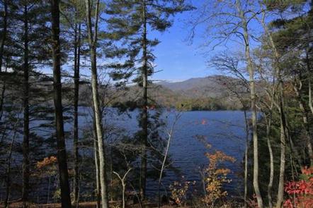
Santeetlah Lake is a man-made reservoir and offers 76 miles of shoreline surrounded by natural forest. There are many coves and inlets to discover and mountain views to enjoy. Birders will find several bird species here. Spotted sandpiper and osprey are sometimes seen in the spring and summer. Red crossbills, green herons and warblers have been known to visit during migration.
Nearby Attractions
Great Smoky Mountains National Park is just a short distance away, offering an ideal day trip from Cheoah Point Recreation Area.