
Directions
Take U.S. Highway 515 north from Blue Ridge for 4 miles to Georgia Highway 60. Turn right (southwest) and continue 3 miles to the town of Morganton. In Morganton, turn right on County Road 616 (Lake Drive) and proceed for 1 mile. To enter the campground, take the first left after the Morganton Point entrance sign.
Phone
706-374-1645
Activities
BOATING, CAMPING, FISHING, HIKING, WATER SPORTS, WILDLIFE VIEWING, SWIMMING SITE
Keywords
MGTP,Morganton Point,Morganton,Blue Ridge Ranger District,CHATTAHOOCHEE-OCONEE NF – FS
Related Link(s)
Overview
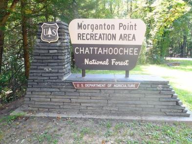
The Morganton Point Recreation Area is located in the Blue Ridge Ranger District, within the beautiful northeast Georgia mountains. Pristine water and scenic views draw visitors from around the state and region.
Recreation
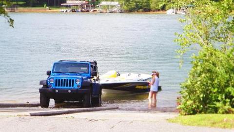
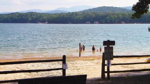
The Morganton Point Recreation Area offers visitors year-round recreation opportunities including camping, picnicking, boating, swimming and hiking, all centered around beautiful Lake Blue Ridge. The lake is open to motor boats and jet skis, as well as non-motorized watercraft.
Fishing in the 3,290-acre lake is a popular activity for visitors to the Morganton Point Campground. Anglers can expect to catch a variety of bass and other fish. Visitors are encouraged to check with the Georgia Department of Natural Resources for a complete listing of freshwater fishing regulations for Lake Blue Ridge.
Day-use hiking trails, including one that parallels the lakeshore, are ideal for short, relaxing strolls through the forest. The Appalachian and Benton MacKave trails pass through Fannin County and are easily accessed near the campground.
Facilities
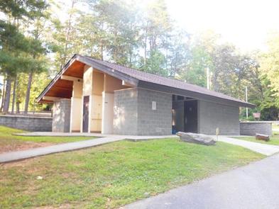
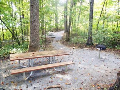
The campground offers campsites available for tent and RV camping. Several walk-in sites are for tents only. Some sites are available on a first-come, first-served basis. Each site is equipped with tables and campfire rings with grills. Accessible showers and drinking water are also provided. Beach access includes a designated swimming area, picnic tables, outdoor showers and trash collection bins.
Natural Features
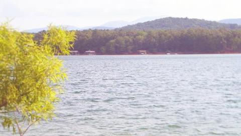
The campground offers multiple sites adjacent to Lake Blue Ridge, in the Chattahoochee National Forest.
Lake Blue Ridge is known for its aquamarine waters surrounded by the forested foothills of the Blue Ridge Mountains. The 3,290-acre reservoir boasts over 60 miles of shoreline, with around 80% belonging to the Chattahoochee National Forest.
Nearby Attractions
The nearest convenience store and gas station are located in Morganton, about a mile north of the campground.
The nearest full-service grocery stores and shopping villages are located in Blue Ridge, approximately 15 minutes west along U.S. Highway 76.