Directions
23998 M-28 Raco Michigan 49715
From Sault Ste. Marie, take I-75 approximately 8 miles south to Exit 386. Turn right onto M-28 and travel 21.5 miles west to Forest Road 3138. Turn left and continue less than a mile to the campground.
Phone
906-203-9872
Activities
BOATING, CAMPING, FISHING, HIKING, SWIMMING SITE
Keywords
SDLK,Soldier’s Lake Campground,HIAWATHA NF – FS
Related Link(s)
Michigan State Road Conditions
Overview
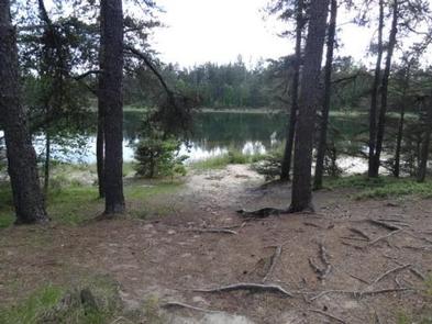
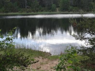
A quiet, relaxing campground with campsites nestled in the pines surrounding Soldier Lake in Michigan’s Upper Peninsula. The campground provides a feeling of remoteness but is still close to roads that lead to some of the best sightseeing the area has to offer.
Recreation
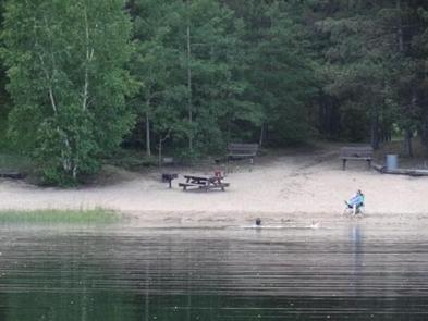
Non-motorized boating is allowed on Soldier Lake. Swimming is also a popular activity. Two sandy beaches are found within the campground and day use areas. The North Country National Scenic Trail, which winds through several northern states, can be accessed from the day use area.
Facilities
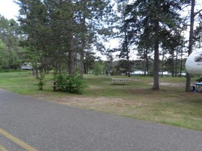
The rustic campground offers shaded single-family sites for tent and RV camping. Each site is equipped with a table and a campfire ring. Vault toilets and drinking water are provided. No hookups are available. The campground also has two large day-use picnic areas with tables and grills. A sheltered picnic area is equipped with a fireplace. The picnic area has vault toilets and drinking water.
Natural Features
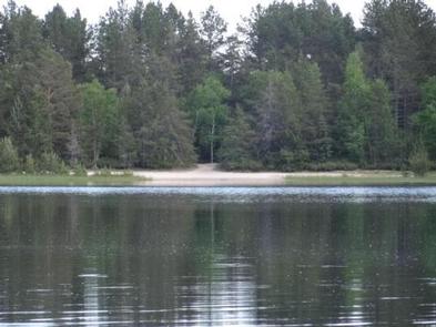
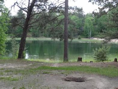
The campground surrounds 15-acre Soldier Lake. A scenic forest of pine, aspen and maple trees covers the area.
Nearby Attractions
The closest town is Strongs, 7 miles west. Services available include a fuel station, restaurants, and a general store.
Charges & Cancellations
Please cancel 7 days in advance for reservation sites. Reservation sites cannot be transferred to walk-in sites.

