NORTH HOLIDAY PARK, TX Campground Reservation, Info, Images, Map, Directions

NORTH HOLIDAY PARK, Texas Campground Images, Info & Reservations

Directions

From Interstate 20, take Exit 429A for U.S. Highway 377 and go south approximately 3 miles (4.8 km) to Stevens Road. Turn left or east on Stevens and go 1/3 of a mile (.5 km) to Lakeview Road and then turn left or north and go another 0.5 miles (0.8 km) to the park enterance.

Phone

817-292-2400

Activities

BOATING, FISHING, HIKING, HORSEBACK RIDING, PICNICKING, WILDLIFE VIEWING, SWIMMING

Keywords

NORTH HOLIDAY PARK (TX),Holiday Day Use,Holiday,Dutch Branch,Benbrook,Benbrook Lake

Related Link(s)

Rec Area Info & Images

Texas State Road Conditions

Texas State Tourism

Overview

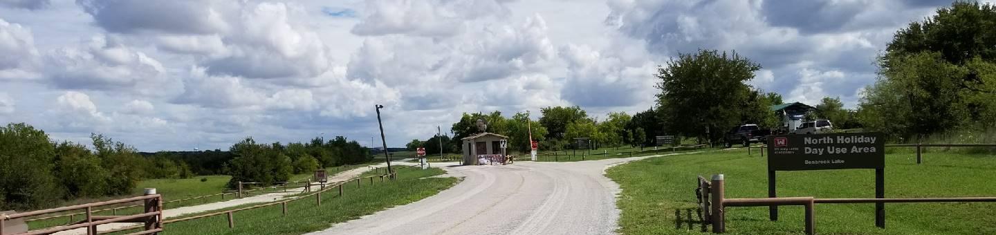
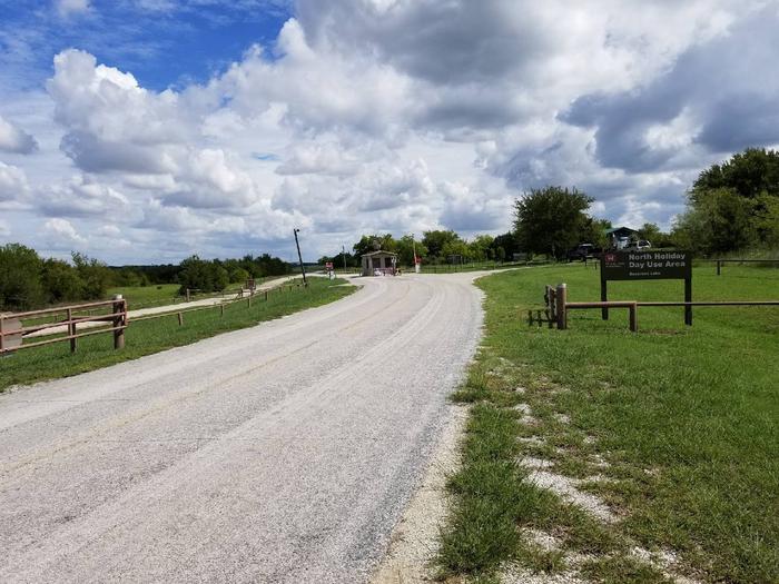
Holiday Park dayuse area (North Holiday Park) is on the west side of Benbrook Lake in north central Texas, accessible from US Hwy 377. Picnicking, hiking & horeseback trails, boat launch, swimming, fishing, & wildlife viewsing are available.

Recreation

The Holiday Park dayuse area offers picnicking, boat launching, swimming, fishing, and several miles of open, shallow shoreline. Prevailing winds attract windsurfers. The lake record for largemouth bass is over thirteen pounds. Other catches include carp, crappie, sunfish, channel & flathead catfish.

Facilities

This day-use park provides a designated swimming beach, vault toilets, and boat ramps, along with a children’s play structure near the swim beach. A marina is nearby on the lake.

Natural Features

Holiday Park dayuse area has wooded creek bottoms to upland prairie, with shallow shorelines and rocky slopes.

Nearby Attractions

City lease areas offer golf courses, a marina, ball fields, tennis & volleyball courts, stables & horse rentals, children’s play areas, and other facilities. Fort Worth renowned Cultural & Museum district, Stockyard National Historic District, Botanical Gardens, Zoo, Bass Performance Hall, and downtown Sundance Square, are all only a short drive.

Reservation

More from CampingHiking.net:

TANIS MESA NORTH CABIN, Alaska Campground Images, Info & Reservations

Directions The cabin is located 50 miles southeast of Yakutat between Tanis Mesa and Brabazon Mountain Range. Access is by wheeled plane only via an 1,800-ft. airstrip at the cabin. Phone (907) 784-3359 Activities CAMPING, HIKING, HUNTING, WILDLIFE VIEWING Keywords TANI,TONGASS NF – FS Related Link(s) Rec Area Info &

BIG CREEK CAMPGROUND, Montana Campground Images, Info & Reservations

Directions From Columbia Falls, Montana, follow State Route 486 north for approximately 20 miles to the campground entrance on the right. The road is pavement for 10 miles and gravel for approximately 9 miles. An alternate route through Glacier National Park would be to enter the park through West Glacier.

SOUTH JETTY SAND CAMPING, Oregon Campground Images, Info & Reservations

Directions From Florence, Oregon, travel south on Highway 101 for 1 mile to South Jetty Road. Turn right and proceed 1 ½ miles to Goosepasture Staging on the left. Phone 541-271-6000 Activities CAMPING, FISHING, WILDLIFE VIEWING, BEACHCOMBING Keywords STJY,GOOSEPASTURE,FLORENCE,ODNRA,OREGON DUNES,Sand Dunes,Sand camps,South Jetty ODNRA,SIUSLAW NF – FS Related Link(s) Rec

WILSON H FOX, Texas Campground Images, Info & Reservations

Directions From I-35 take Highway 79 east to Highway 95. Go north to FM 1331 then go east on FM 1331 for approximately 7 miles to the entrance of Granger Dam. Turn left and take next left into the park Phone 512-859-2668 Activities CAMPING, VISITOR CENTER, SWIMMING SITE Keywords WILS,GRANGER