DRIPPING SPRINGS CAMPGROUND (CA), CA Campground Reservation, Info, Images, Map, Directions

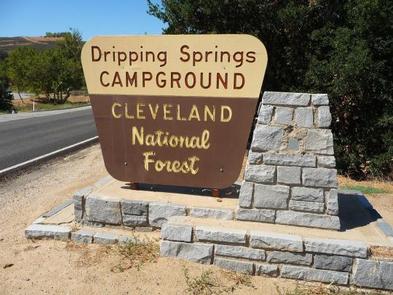
DRIPPING SPRINGS CAMPGROUND (CA), California Campground Images, Info & Reservations

Directions

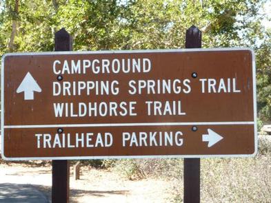
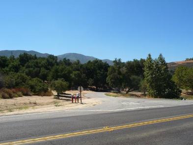
Campground is 11 miles east of Temecula off of Highway 79.

Phone

760-788-0250

Activities

HISTORIC & CULTURAL SITE, CAMPING, HUNTING, VISITOR CENTER

Keywords

Dripping Springs Campground (CA)

Related Link(s)

Rec Area Info & Images

California State Road Conditions

California State Tourism

Overview

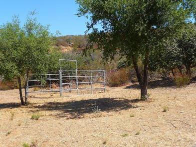
Dripping Springs campground is a wonderful campground adjacent to the Agua Tibia Wilderness.

Recreation

Recreation in the area includes hiking, trail running, and backpacking.

Facilities

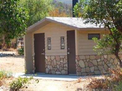
The campground facilities include restrooms and potable water. No showers or other amenities are available at this location.

Natural Features

The campground is adjacent to sensitive riparian habitat which is home to the endangered Arroyo Toad. The hills surrounding the campground are covered in southern California chaparral which is host to a diverse population of flora and fauna. The mountain tops above the campground are lined with coniferous forest.

Nearby Attractions

The campground is directly adjacent to Agua Tibia Wilderness. This wilderness area includes a 20-mile hiking loop. The campground is also near Temecula, California, and the Temecula Wine Country.

Reservation

More from CampingHiking.net:

OLD HWY 41 NO 3, Georgia Campground Images, Info & Reservations

Directions From I-75 take exit 278 and turn south onto Glade Road. Turn right onto Highway 92/Lake Acworth Drive, then after a mile exit to the right which will loop around to Hwy 293/Main Street. At stop sign turn left onto Highway 293/Main Street and follow signs to the campground.

CULTUS LAKE CAMPGROUND, Oregon Campground Images, Info & Reservations

Directions From Bend, OR: Travel 46 miles southwest on Cascade Lakes Hwy (46), then west on Forest Road 4635 for 2 miles. Phone 541-323-1746 Activities BIKING, BOATING, CAMPING, FISHING, HIKING, MOTOR BOAT, MOUNTAIN BIKING, JET SKIING, AMPHITHEATER Keywords Related Link(s) Rec Area Info & Images Oregon State Road Conditions Oregon

SANDY CREEK, Texas Campground Images, Info & Reservations

Directions From Jasper, Texas, take US-190 west for 10 miles. Turn south on FM 777 and travel 2 miles to County Road 155. Turn west and continue 2.5 miles, following signs into the campground. Phone 1 (877) 444-6777 Activities BIKING, BOATING, CAMPING, FISHING, HIKING, HUNTING Keywords SANC,TOWN BLUFF DAM,DAM B,B.A.

LAKE SPRINGS, Georgia Campground Images, Info & Reservations

Directions From Augusta, GA, travel 22 miles west on GA-104, then 4 miles north on US HWY 221. Phone 800-533-3478 Activities BIKING, BOATING, FISHING, HIKING, PICNICKING, DAY USE AREA, SWIMMING SITE, SWIMMING, ACCESSIBLE SWIMMING, LOOKOUT TOWER Keywords LASC,J STROM THURMOND LAKE Related Link(s) Rec Area Info & Images Georgia State

SIX MILE CREEK, Alabama Campground Images, Info & Reservations

Directions From Selma, Alabama, follow US-41 south for 9 miles. Turn right on County Road 139 and follow the signs into the campground. Phone 334-872-9554 Activities BOATING, CAMPING, FISHING, HUNTING Keywords SIXM,ALABAMA RIVERS,ROBERT F. HENRY,MILLERS FERRY LAKE,WILLIAM DANNELLY,ALABAMA RIV. – DAN Related Link(s) Rec Area Info & Images Alabama State

BAKEWELL LAKE CABIN, Alaska Campground Images, Info & Reservations

Directions The cabin is approximately 40 air miles east of Ketchikan on the mainland south of the Bakewell Arm of Smeaton Bay. Accessible by float plane, or by mooring boat in Smeaton Bay and canoeing 2 miles to the cabin. This cabin is in a designated Wilderness area, and access