
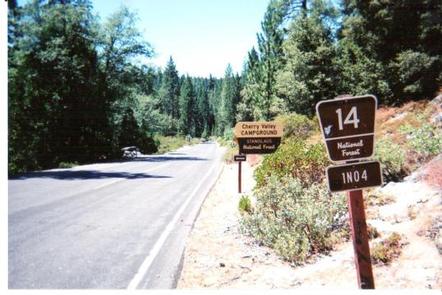
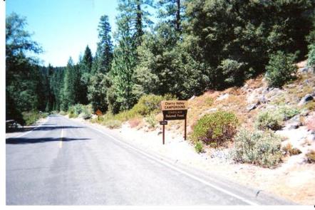
Directions
Campground can be reached from Hwy 120 using Cherry Lake Road also known as Forest Road (FR) 1N07 or from Cottonwood Road also known as FR 1N04.
-Traveling from Hwy 120, go East from Groveland 13.8 miles turn left on Cherry Lake Road/1N07 for 23.5 miles where it becomes Cottonwood Road. Turn left and travel approximately 0.5 miles North. You will see the Cherry Valley Campground sign turn right North East .75 miles to campground.
-Traveling from Tuolumne, turn onto Buchanan Road this turns into Cottonwood Road/1N04 and travel approximately 30 miles. Turn left at Cherry Valley Campground sign. NOTE: The Tuolumne route is advisable for RVs and towing.
Phone
209-379-2258
Activities
BIKING, BOATING, CAMPING, FISHING, HIKING, HUNTING, VISITOR CENTER, WATER SPORTS, WILDLIFE VIEWING, STAR GAZING, SCENIC DRIVE
Keywords
Cherry Valley,Cherry Lake,Cherry Creek,Cherry
Related Link(s)
California State Road Conditions
Overview
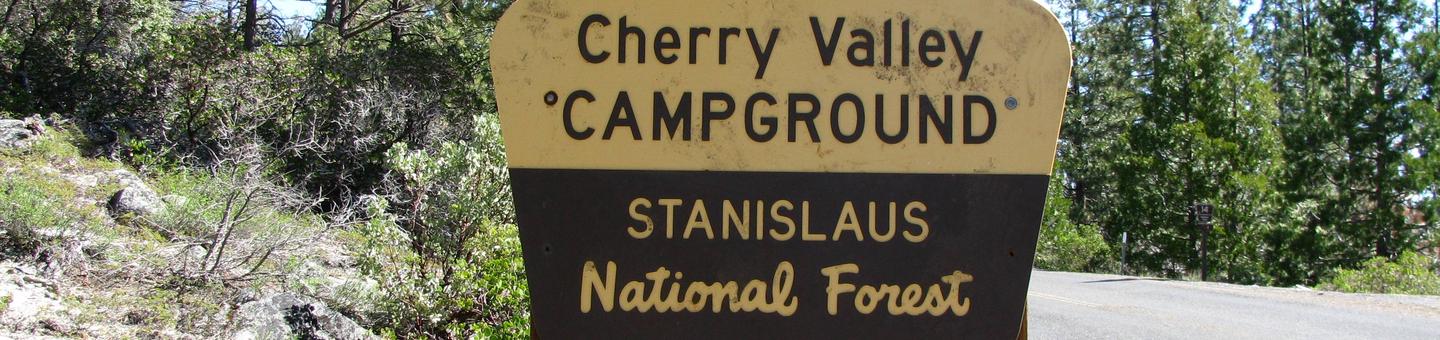
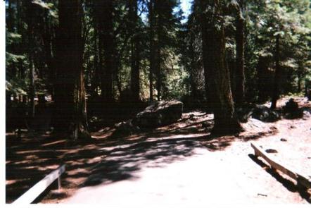
Situated in the central Sierra Nevada, camping at Cherry Valley campground offers many beautiful sights. It is located in a forest of mixed conifers about 1.5 miles northeast of Cherry Valley Dam, 1 hour east of Tuolumne City, 1 hour northeast of Groveland, and 2.5 hours from the northwestern border of Yosemite National Park. Lake access is available via a hiking trail. The road to the campground is a winding mountain road and must be taken slowly.
Recreation
There are unlimited opportunities for fishing on lakes and rivers and for exploring hiking trails in the area. Cherry Lake has a boat ramp near the dam, conveniently located off Cherry Lake Road. Visitors to Cherry Valley can enjoy a quiet lake experience great for water sports, swimming, and fishing.
Facilities
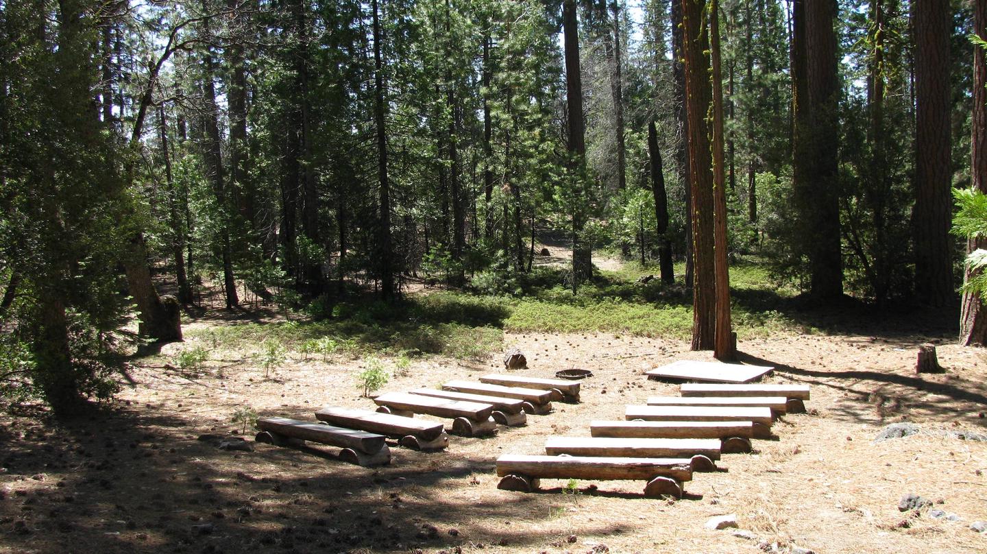
Cherry Valley has 41 single and five double family sites with paved roads and spurs. Each site has a table and campfire pit with a grill. Drinking water and vault toilets are available. The opening and closing dates are somewhat weather dependent, but the campground is generally open for the first day of fishing season, the last Friday in April. Pets are welcome, but must be compliant with Tuolumne County leash laws.
Natural Features
Visitors to Cherry Valley campground can enjoy easy access to nearby Cherry Lake, the largest lake in the Stanislaus National Forest. Anglers flock to Cherry Lake every year, plotting their next catch of eastern brook trout, German brown trout, kokanee salmon, and rainbow trout.