
Directions
From I-5 take exit 9 WA 502 for Battle Ground. Go about 7 miles and turn left on WA 503 and head north for about 5.5 miles. Turn right onto NE Rock Creek Rd, which will turn into NE 152nd Ave and then a slight left onto NE Lucia Falls Rd for about 7 miles. Then turn right onto NE Sunset Falls Road, travel for about 7 miles and the campground will be on your right.
Location: 40806 NE Sunset Falls Rd, Yacolt WA 98675
Phone
541-338-7869
Activities
BOATING, CAMPING, HIKING
Keywords
Related Link(s)
Washington State Road Conditions
Overview
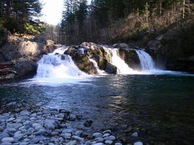
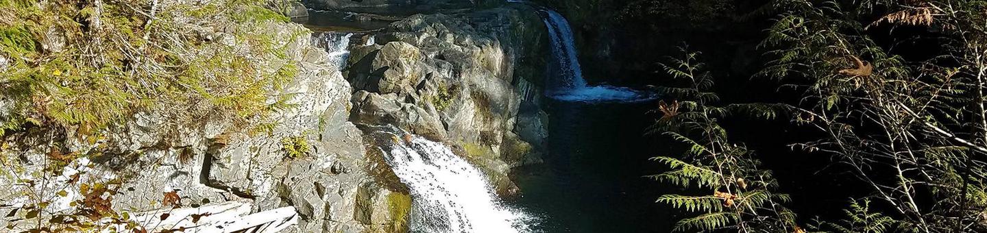
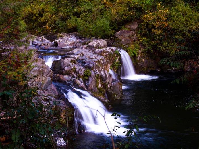
Sunset Campground is located in the Gifford Pinchot National Forest. Visitors enjoy scenic views of the river and a waterfall within the campground. The campground is open all year.
Recreation
There are several hiking trails nearby, including the Silver Star trail which offers excellent views of Portland, Oregon. The area is also popular with kayakers that visit the East Fork Lewis River.
Facilities
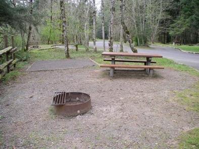
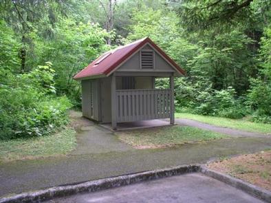
Sunset Campground offers 18 standard sites that accommodate tents and RVs (22 feet), but no hookups are available. Picnic tables and campfire rings with grills are provided, as are 3 vault toilets and trash receptacles.
Natural Features
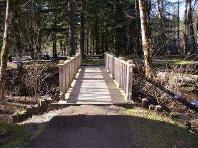
The campground is just off the East Fork Lewis River at an elevation of 1,000 feet. The campground road and trail path to the falls are paved and shaded by large evergreen trees.
Nearby Attractions
The campground is located in between Mount St. Helens and Mount Adams, and only about an hour north of Portland, Oregon.