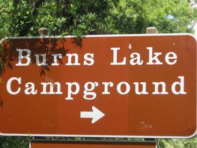
Burns Lake Campground, FL Campground Reservation, Info, Images, Map, Directions

Burns Lake Campground, Florida Campground Images, Info & Reservations

Directions

From Naples: Follow US HWY 41 east until you see signs for campground (approximately mile marker 67).

From Miami: Follow US HWY 41 west until you see signs for campground (approximately mile marker 67)

Phone

239-695-1205

Activities

CAMPING, FISHING

Keywords

Big Cypress

Related Link(s)

Rec Area Info & Images

Florida State Road Conditions

Florida State Tourism

Overview

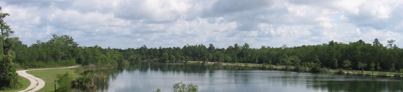
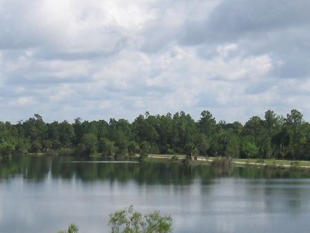
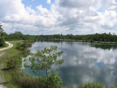
Burns Lake Campground offers lake views from every campsite. Offering direct backcountry access, this campground is the ideal place for hunters and off-road vehicle enthusiasts.

Recreation

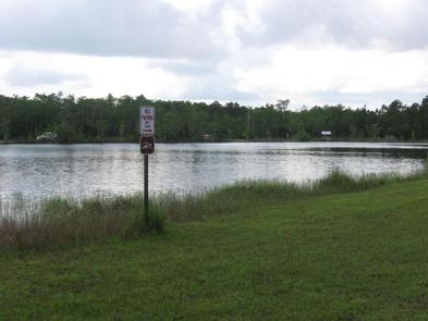
Burns Lake offers a great access point for your permitted off-road vehicle. Campers can enjoy fishing in the lake and surrounding areas with the appropriate licensure. Just far enough from any major highway, this campground offers countless wildlife viewing opportunities.

Facilities

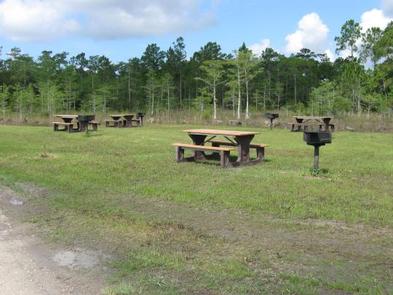
This campground offers a picnic day use area, vault toilets, and an off-road vehicle parking lot and access point. No fresh water is available.

Natural Features

Surrounded by towering pine trees and wrapping around a lake, this campground allows you to feel like you are getting away while still being close enough to modern conveniences.

Nearby Attractions

Campers can enjoy local sight-seeing attractions such as airboat and swamp buggy tours, museums, art galleries, and boardwalks. This campground is located close to multiple national and state parks.

Reservation

More from CampingHiking.net:

COWHIDE COVE, Arkansas Campground Images, Info & Reservations

Directions From Hot Springs, Arkansas, take Highway 70 west for 41 miles to Kirby. Continue onto Route 27 south for 5 miles to Cowhide Cove Access Road. Turn right on the access road and drive 2 miles to the campground. Phone 870-285-2151 Activities BOATING, CAMPING, FISHING, HUNTING, SWIMMING SITE Keywords

DOLLY COPP, New Hampshire Campground Images, Info & Reservations

Directions From Gorham, New Hampshire: Take State Route 16 south for 6 miles. Turn right onto Dolly Copp Road and travel 0.5 miles to the campground. From North Conway, New Hampshire: Take Highway 302 to Glen. Turn right onto State Route 16 north and follow for about 22 miles. Turn

STOVE PRAIRIE, Colorado Campground Images, Info & Reservations

Directions From Fort Collins, take Highway 14 northwest for 26 miles, to the campground. Phone 970-295-6700 Activities BIKING, BOATING, CAMPING, FISHING, HIKING, WATER SPORTS, WILDLIFE VIEWING, MOUNTAIN BIKING, KAYAKING, CANOEING, BIRDING, RAFTING, WHITEWATER RAFTING Keywords STOV,STOVE PRAIRIE,STOVE,ARAPAHO AND ROOSEVELT NF – FS Related Link(s) Rec Area Info & Images Colorado

LAZY BEND, Oregon Campground Images, Info & Reservations

Directions From Estacada, travel east on Highway 224 for just over 10 miles to the campground. Phone 503-630-5721 Activities BOATING, CAMPING, FISHING, WATER SPORTS Keywords LAZY,MT. HOOD NF – FS Related Link(s) Rec Area Info & Images Oregon State Tourism Forest Service Concessionaire Oregon State Road Conditions Overview Lazy Bend

RAINBOW (OR), Oregon Campground Images, Info & Reservations

Directions From Estacada, travel east on Highway 224/Road 46 for 26 miles to the campground. Phone 503-630-5721 Activities CAMPING, FISHING, HIKING, WATER SPORTS, WILDLIFE VIEWING Keywords RAIB,MT. HOOD NF – FS Related Link(s) Rec Area Info & Images Oregon State Road Conditions Oregon State Tourism Forest Service Concessionaire Overview Rainbow

WAXMYRTLE CAMPGROUND, Oregon Campground Images, Info & Reservations

Directions From Florence, OR, travel seven miles south on Highway 101 to the Siltcoos Beach Access Road. Turn right on Siltcoos Beach Access Road and proceed one mile west to Waxmrytle Campground. Turn south (left); the campground entrance is the bridge on the south side on the Siltcoos Beach Road.