Directions
Heading north along MT highway 12/287, drive north to Spokane Creek Rd and turn right Yellow flashing light. Follow Spokane Creek Rd for 4.6 mi and turn right onto Co Rd 430/Canyon Ferry Rd and continue on to Court Sheriff Campground. The campground will be on the right.
Phone
406-475-3921
Activities
BOATING, CAMPING, FISHING, WATER SPORTS, WILDLIFE VIEWING, SWIMMING SITE
Keywords
COURT SHERIFF CAMPGROUND,Canyon Ferry Reservoir
Related Link(s)
Overview
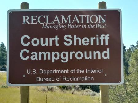
Court Sheriff Campground is located at the very north end of Canyon Ferry Reservoir, 30 miles east of Helena, Montana, along Montana Highway 284. Court Sheriff Campground offers year-round access to a wide range of recreational opportunities. Court Sheriff Campground is named for the Sheriff family. In 1865 Court Sheriff moved into the region from the state of Illinois to Montana to work the mines. Court Sheriff first worked the mines in Diamond City, then hired on as a carpenter to help build a wooden flume for the Magpie-Gave Hill ditch. In 1875 he opened a general mercantile to serve the miners east of the Missouri River at Cavetown. He moved to nearby Canyon Ferry in 1880, and by 1883 had established a general store and later added a livery stable and two-and-a-half-story hotel.
Recreation
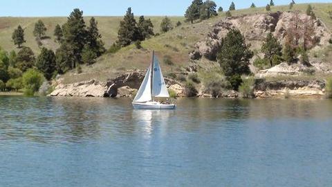
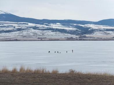
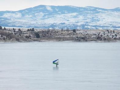
Canyon Ferry Reservoir offers a wide range of year-round recreational opportunities. Water related activities include everything from swimming and fishing to sailing and motor-boating. Canoeists and kayakers explore the many quiet backwater bays. Jet skiers, windsurfers and water skiers skim the summer waves, while winter draws ice fishermen, ice boaters and ice skaters.
Facilities
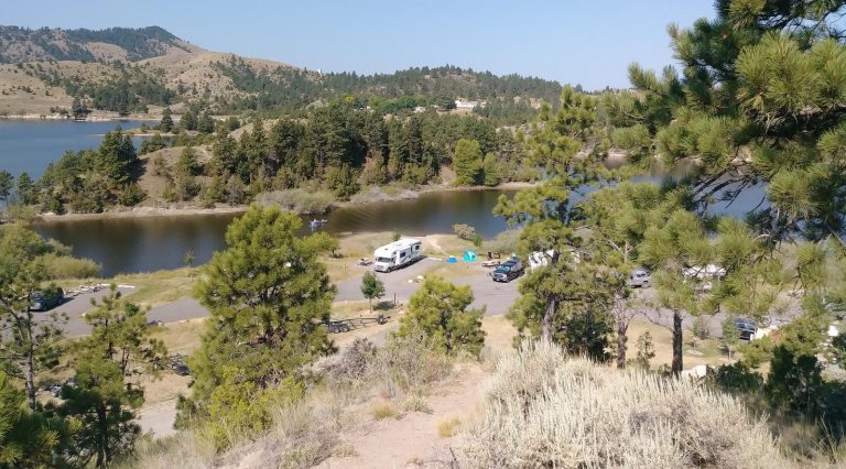
Court Sheriff Campground is very popular and a well-developed campground. The campground is paved with 48 campsites, most are located along the water. During the peak summer months services include vault toilets, potable water, trash, recycling containers and a campground host.
Natural Features
Court Sheriff Campground sits at the north end of Canyon Ferry Reservoir between the Big Belt and Elkhorns mountain ranges.
Nearby Attractions
Court Sheriff Campground on Canyon Ferry Reservoir is located halfway between Yellowstone National Park and Glacier National Park along with the capital city of Helena, Montana. For up to date events visit, www.helenamt.com.

