

Directions
From Highway 64/411 intersection, travel east 7 miles, turn onto Forest Road 77, drive 7.5 miles to campground/recreation area.
Phone
423-338-3300
Activities
BIKING, CAMPING, FISHING, HIKING, WILDLIFE VIEWING, MOUNTAIN BIKING, KAYAKING, CANOEING, WATER ACCESS, SCENIC DRIVE, RAFTING, RIVER TRIPS, WHITEWATER RAFTING, AMPHITHEATER, ACCESSIBLE SWIMMING
Keywords
CHILHOWEE GROUP CAMP,CHILHOWEE
Related Link(s)
Tennessee State Road Conditions
Overview
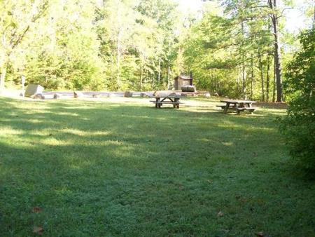
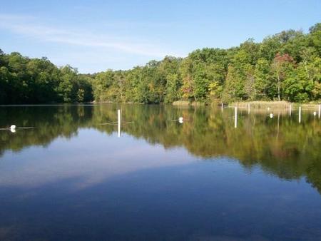
Located in the Chilhowee Recreation Area, Chilhowee Group Camp offers camping for up to 75 individuals. Nearby McKamy Lake offers a swim area with a sandy beach and fishing from the bank. On the drive up to the campground, stop at one of the many observation overlooks to enjoy the beautiful mountains. Wildlife is abundant in this area, so have your camera ready and tread lightly.
Recreation
Within the recreation area are approximately 25 miles of hiking and biking trails including the Chilhowee Trails System. Chilhowee Group camp is an excellent location for wildlife viewing and accessing a nearby scenic waterfall. Fishing is available on the seven-acre McKamy Lake. Boats are allowed, but gasoline motors are not.
Facilities
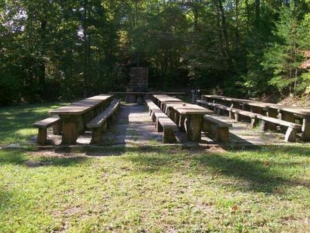
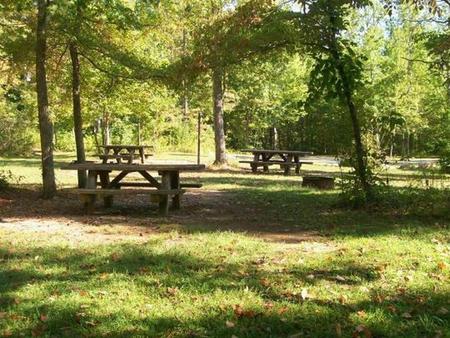
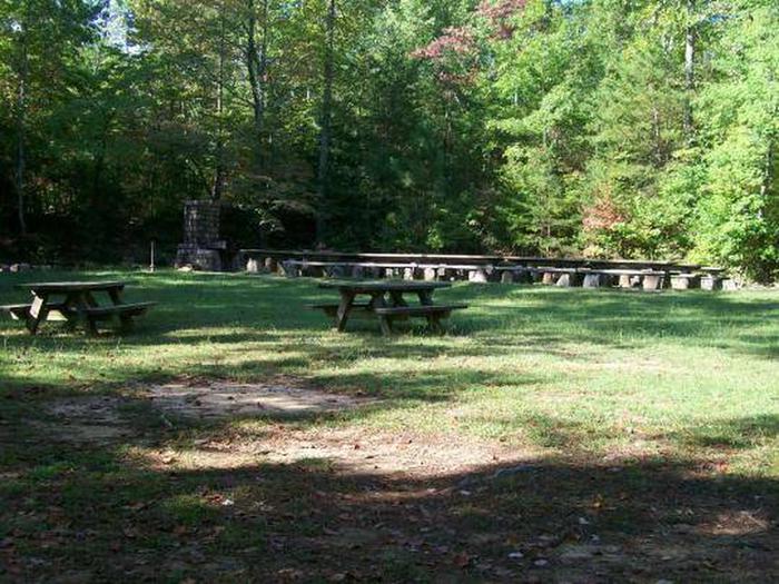
The group camp includes a large open area with picnic tables and a grill as well as an RV site with electric hook up. Camp sites are scattered through the trees surrounding the RV site. Within the group site itself, a waterless vault toilet is available year-round. During the warmer months, (typically April-October), a bathhouse with flushing toilets and showers is available nearby.
Both the beach and many trails are located within a short walking distance of the site.
Drinking water is available near the entrance to the group site.
Natural Features
The campground is located near the top of Chilhowee Mountain at an elevation of 2,000 feet. It is in a mixed hardwood and pine forest and the lake is a short walk from the group camp.
Nearby Attractions
In addition to the immediate local activities, world class whitewater rafting opportunities are nearby on the Ocoee and Hiwassee Rivers.
Charges & Cancellations
Goup areas must be cancelled more than 14 days from reservation date to get refund. The $8.00 service fee will still be charged for the reservation