
Directions
The facility is located along Route 146, approximately 7 miles north of Zanesville, Ohio. You can access Route 146 by either State Route 16 from the north, or by US 70 from the south.
Phone
740-454-2225
Activities
BIKING, BOATING, HISTORIC & CULTURAL SITE, CAMPING, INTERPRETIVE PROGRAMS, HUNTING, WINTER SPORTS, VISITOR CENTER, WATER SPORTS, WILDLIFE VIEWING, DAY USE AREA, OTHER RECREATION CONCESSION SITE
Keywords
Dillon Lake Group Picnic Shelter,Dillon Lake,Dillion
Related Link(s)
Overview
Dillon Lake is approximately six miles northwest of Zanesville, Ohio, and twenty miles east of Newark, Ohio. Access to the lake is provided by State Route 146 via State Routes 16 and 586 from the north and US 40 and Interstate 70 from the south. The office is open from 7:30 a.m. until 4:00 p.m., Monday through Friday, but the area is open 24 hours.
Recreation
Plenty of recreation is available throughout this area including water sports on the lake, great fishing and hunting, biking, and extraordinary wildlife viewing. We offer an accessible fishing pier below the dam and a trail with exercise facilities.
Facilities
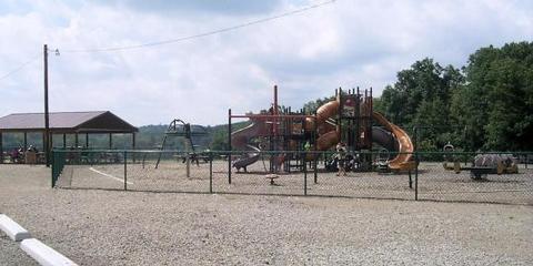
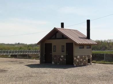
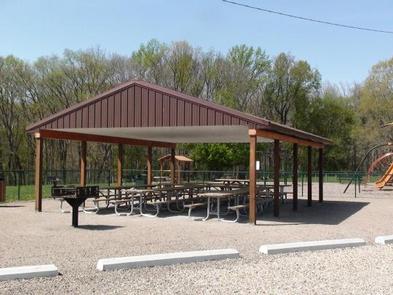
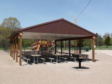
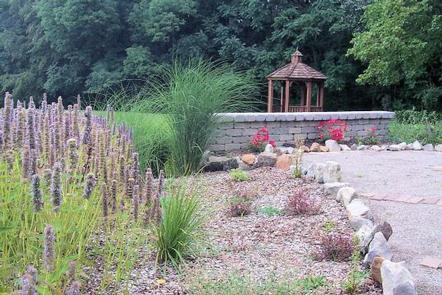
The picnic shelter offers 10 accessible picnic tables. The facility also offers several barbeque grills and a large fenced-in playground. Other facilities include a gazebo and fitness trail surrounded by park benches, picnic tables and beautiful landscaping.
Natural Features
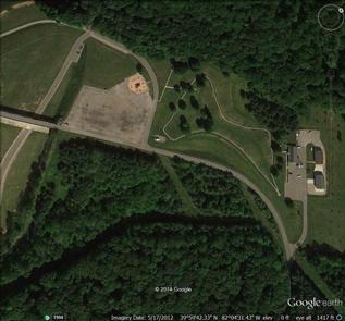
The picnic shelter/playground area is located above Dillon Lake, next to a large parking area. Visitors get a beautiful view of the lake, grass covered hills and wooded areas.
Nearby Attractions
Other facilities around the area are provided by the Ohio State Parks and Division of Wildlife. These include several boat launches, plenty of hiking, biking, and horse trails, hunting areas, and a swim beach.