
Directions
From I-70 westbound, Exit at US 40 and go west to Bird Rd. Turn right (north) on Bird Rd. then left on Old Columbus Rd. Following the signs for the CJ Brown Visitor Center, turn right onto Croft Rd., then right onto Overlook Drive into the park.
From I-70 Eastbound exit at SR 4, follow 4 north through Springfield to Croft Rd. Turn right on Croft and left onto Overlook Dr.
Phone
937-325-2411
Activities
BIKING, INTERPRETIVE PROGRAMS, FISHING, HIKING, PICNICKING, VISITOR CENTER, WILDLIFE VIEWING, DAY USE AREA
Keywords
CJ Brown,the reservoir,Buck Creek,one with the playground,the first one as you come in the park,one by the lake,one just below the Visitor Center,the one at the top of the hill,the one across the street from the Visitor Center
Related Link(s)
Overview
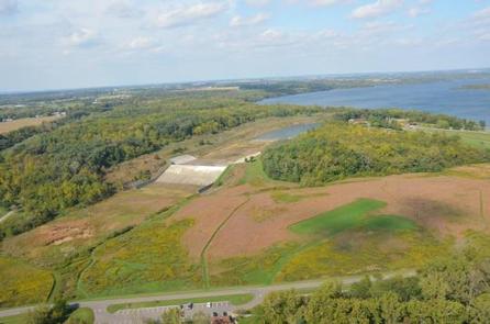
C.J. Brown Reservoir is located in west-central Ohio, two miles northeast of Springfield; thirty-five miles northeast of Dayton, and forty-five miles west of Columbus.
Recreation
There are many recreational opportunities to enjoy at the lake including fishing, hiking, biking, wildlife watching, and picnicking. At nearby Buck Creek State Park, visitors also enjoy swimming, boating, and camping.
Facilities
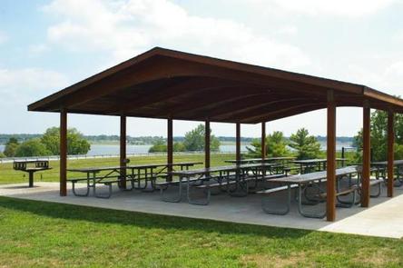
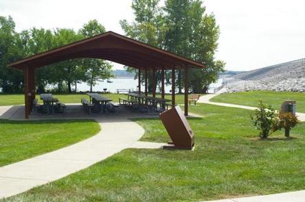
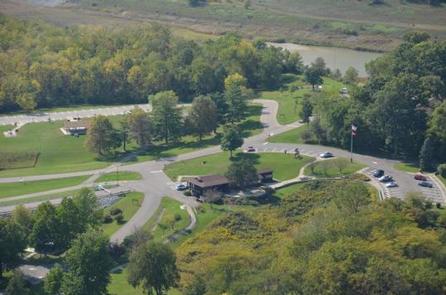
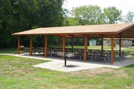
C.J. Brown Reservoir offers three reservable picnic shelters, with grills, picnic tables, electric service, and water fountains. The Visitor Center has exhibits on the U.S. Army Corps of Engineers and history of the Dam and lake, along with the natural resources and recreation in the area. Restrooms for the Meadow View shelter are located at the Visitor Center.
Natural Features
The Buck Creek valley was once a patchwork of wetland fens, prairie meadows, oak savannas, and open oak woodlands. Today, the 2,120 acre C.J. Brown Reservoir is surrounded by varied habitats, from brushy old fields, to restored prairie, to forest. C.J. Brown was designated an Ohio Important Bird Area in 2002.
Nearby Attractions
At adjacent Buck Creek State Park, there is a campground, rental cottages, a marina, swimming beach, and trails. Springfield, Ohio, is just a few miles away, and has several museums that are worth visiting, including the Heritage Center and the Frank Lloyd Wright Westcott House.
Charges & Cancellations
Payment in full will be charged to your credit card upon completion of your reservation. A $10.00 fee will apply if you change or cancel your reservation. For full Details see the Recreation One Stop cancellation Policy