COTTONSHED PARK (AR), AR Campground Reservation, Info, Images, Map, Directions

COTTONSHED PARK (AR), Arkansas Campground Images, Info & Reservations

Directions

Approximately 5 miles south of Mineral Springs on Highway 355, turn right / west onto Bright Star Road travel approximately 3 miles, turn left / south onto Cottonshed Lane.

OR

North on Hwy 355 approximately 5 miles, turn left / west onto Bright Star Road travel approximately 3 miles, turn left / south onto Cottonshed Lane.

Phone

870-287-7118

Activities

BOATING, CAMPING, FISHING, WILDLIFE VIEWING

Keywords

Related Link(s)

Rec Area Info & Images

Arkansas State Tourism

Arkansas State Road Conditions

Overview

Cottonshed Park is located off the beaten path, eight miles southwest of Mineral Springs and Tollette. It is a quiet, wooded area with access to some of the best fishing on Millwood Lake.

Recreation

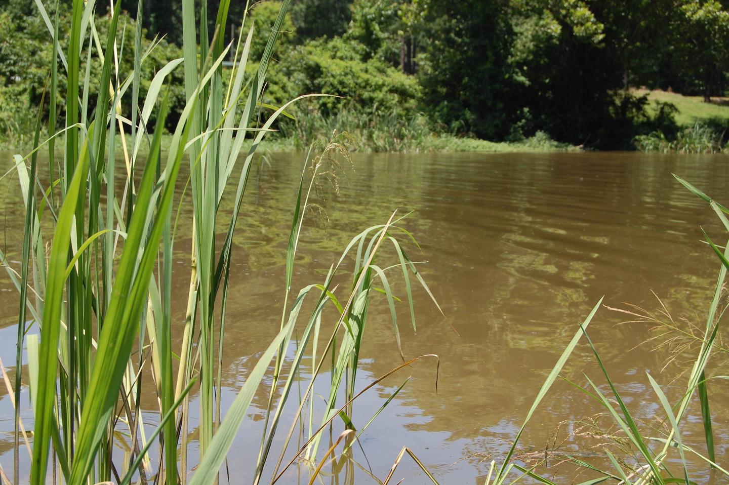
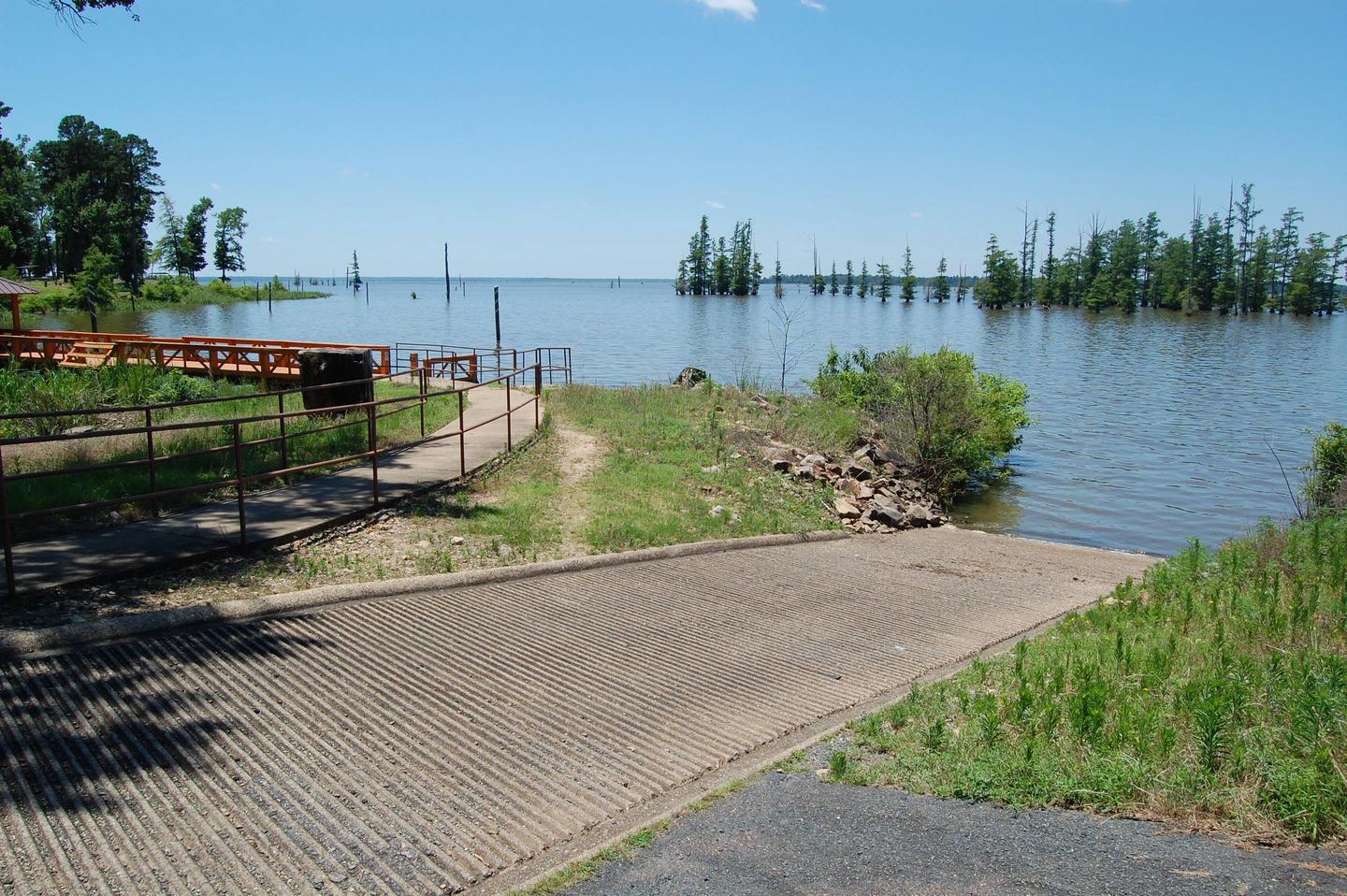
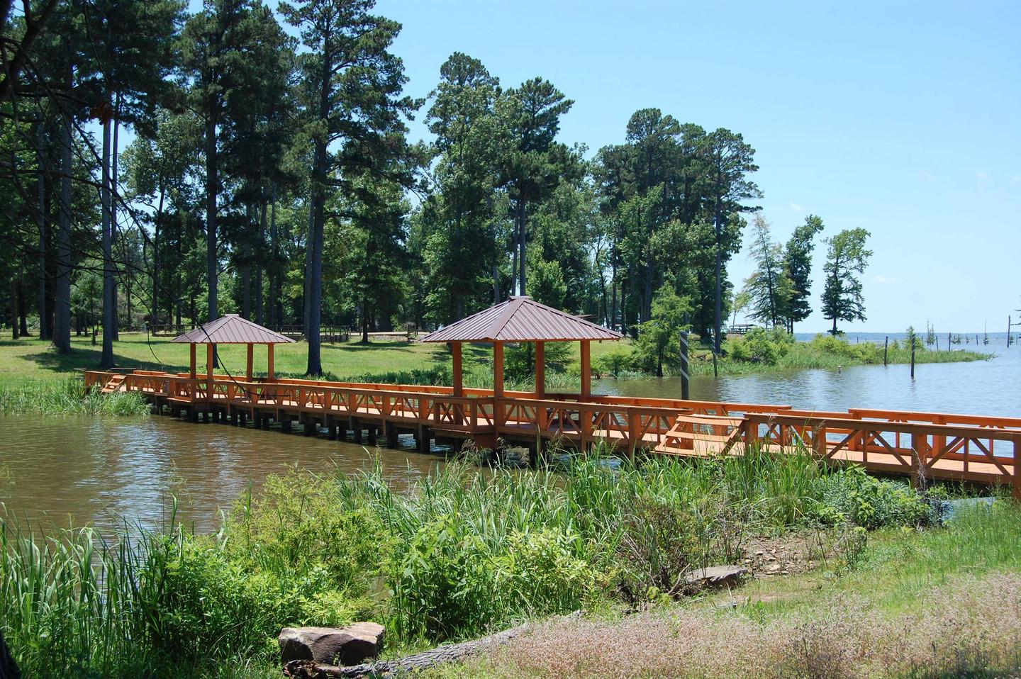
The campground is located on Millwood Lake with direct access to the Saline River. The area is made navigable by boat lanes which mark the river and other man made paths through the lake. Outside of these channels is submerged timber and aquatic vegetation that entice anglers and duck hunters to the area. Millwood Lake is home to over 300 species of birds including the American Bald Eagle and Great White Pelicans, many of which can be found in the Cottonshed area.

Facilities

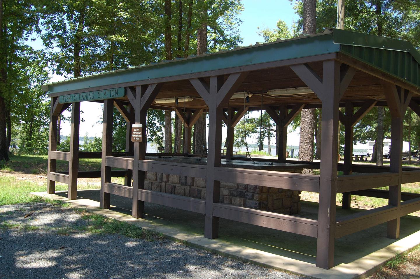
The campground contains lake side campsites as well as those not located directly on the lake but with a lake view. Flush toilets, showers, and potable water are located throughout the campground. The facility also offers one centrally located sewage dump station. Campsites are equipped with picnic tables, grills, fire rings, 30/50 amp electricity, water hydrants and lantern poles.

Natural Features

The campground is located directly on Millwood Lake with lake views from most of the campsites. The surrounding landscape is flat, low land areas with dense timber.

Nearby Attractions

Old Washington Historic State Park is located 25 miles northeast of the park.

Reservation

More from CampingHiking.net:

WELDON ISLAND, Georgia Campground Images, Info & Reservations

Directions From Interstate 85, take Exit 4 and turn East onto Old Dobbins Bridge Road.Turn right on Andersonville Road and follow the brown directional signs. Hattons Ford ramp is located at the end of Andersonville Road. Townville, SC, 29689 Phone 888-893-0678 HARTWELL PROJECT OFFICE Activities BOATING, FISHING, PICNICKING, SWIMMING, WATER

ST LUCIE SOUTH, Florida Campground Images, Info & Reservations

Directions From I-95, take Exit 101 (Stuart/Indiantown), following SR 76 W for 0.5 miles to Locks Road. Turn right onto Locks Road for 1.3 miles to SW Canal Street and turn left into the campground. Phone 772-287-1382 Activities BOATING, CAMPING, FISHING, HIKING, VISITOR CENTER, DAY USE AREA, CANOEING, BIRDING Keywords

WAVELAND PARK, Arkansas Campground Images, Info & Reservations

Directions From Booneville, Arkansas, follow State Highway 10 east for 17 miles to Waveland. Turn right on State Highway 309 and drive for one mile. Turn right again onto Waveland Park Road and continue another mile to Blue Mountain Dam, then follow signs into the park. Phone 479-947-2101 Activities BOATING,

BROOKCHAR, Arizona Campground Images, Info & Reservations

Directions From Show Low, Arizona, take Highway 260 east for 60 miles to Highway 261. Take Highway 261 south for 20 miles to Forest Road 115 and follow it south for 1 mile. Phone 928-735-7313 Activities BOATING, CAMPING, FISHING Keywords BROC,BIG LAKE,APACHE-SITGREAVES NF-FS Related Link(s) Rec Area Info & Images

MIDDLE FORK, Wyoming Campground Images, Info & Reservations

Directions From Buffalo, Wyoming, take U.S. Highway 16 west 13 miles. Phone 406-587-9054 Activities BIKING, CAMPING, FISHING, HIKING, HORSEBACK RIDING, WILDLIFE VIEWING Keywords MIDD,BIGHORN NF – FS Related Link(s) Rec Area Info & Images Overview Middle Fork Campground is located 14 miles west of Buffalo, Wyoming, adjacent to the Cloud