
Directions
Traveling from the Lynchburg area on Rte 29, turn onto Rte 130 West. Travel approximately 25 miles to the Blue Ridge Parkway entrance. From the ramp, turn right (north) onto the Parkway. Travel one mile to the Otter Creek Campground. Traveling from the Lexington/Buena Vista direction on Rte 81, take the Blue Ridge Parkway exit to Rte 60 E towards Amherst. Drive approximately 16 miles, turning at the Blue Ridge Parkway entrance sign. At the Stop sign, turn left (south) onto the Parkway. Travel approximately 16 miles to the entrance of Otter Creek Campground.
Phone
434-299-5125 (MAY – OCTOBER)
Activities
HISTORIC & CULTURAL SITE, CAMPING, FISHING, HIKING, VISITOR CENTER, WILDLIFE VIEWING, PHOTOGRAPHY, BIRDING
Keywords
Otter Creek
Related Link(s)
Virginia State Road Conditions
Overview
As Otter Creek descends to the James River, the Blue Ridge Parkway dips to its lowest elevation, only 649 feet above sea level. This area’s abundant water and warmer temperatures support plant and animal communities that are unlike those found at other areas on the Parkway. A short walk along the Trail of Trees or a hike along the clear, cool waters of Otter Creek will give ample proof that there is more to the Blue Ridge Parkway than mountain-top vistas.
Recreation
The James River/Otter Creek recreation area has fishing in Otter Lake and a number of hiking trails including Trail of Trees, Otter Creek, Otter Lake Loop, and James River Canal.
Facilities
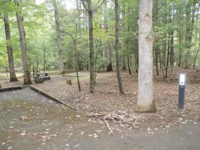
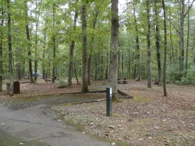
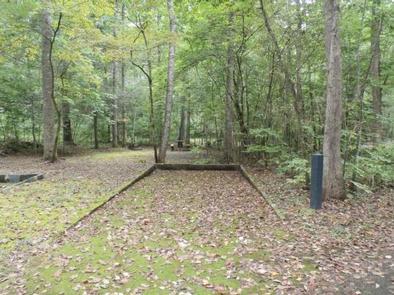
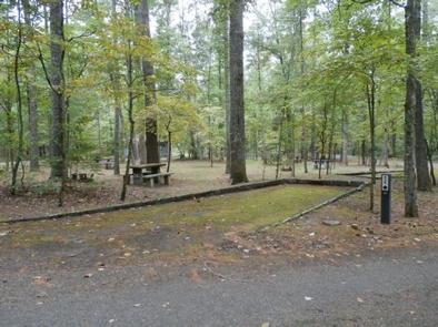
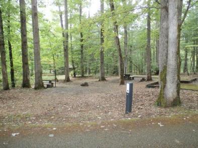
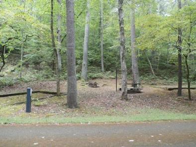
Both RV and tent sites are available at this well-kept campground. Sites are equipped with grills, picnic tables and lantern posts. Amenities such as flush toilets, drinking water and a dump station are also at hand.
In addition to the 39 sites available for advanced reservation, 29 campsites are available on a first come, first served basis.
Natural Features
Otter Creek Campground is located at the Parkway’s lowest elevation near Virginia’s James River.
Nearby Attractions
- Otter Creek Trail (3.5 miles/5.6 km) parallels the Parkway road as it meanders from Otter Creek campground to the James River Visitor Center. Most sections of this trail are easy to hike and can be reached from many points along the motor road.
- Otter Lake Loop Trail (0.9 miles/1.4 km) provides scenic views of Otter Lake. This is also a good trail for watching wildlife. Look for beaver lodges and dams along tributary streams. Early morning and late evening are prime times for wildlife observations.
- Trail of Trees (0.4 miles/.6 km) begins near the James River Visitor Center and wanders through a shaded stream drainage. Trail signs identify many of the trees and shrubs of the river valley. This trail also affords a handsome view of the James River water gap, a rare geological feature.
- Canal Lock Trail (0.4 miles/.6 km) begins at the visitor center and crosses the James River on a walkway beneath the bridge. The restored Battery Creek Lock, located a short distance from the bridge, is typical of those constructed in the 1800s as part of the James River and Kanawha Canal. This canal, with nearly 100 locks, helped make the river a major transportation corridor before the Civil War. Exhibits at the Battery Creek site explain how locks were used to raise and lower boats to adjust for the changing elevation of the river.