Directions
The parkway is a 469-mile-long scenic road connecting Shenandoah National Park in Virginia to Great Smoky Mountains National Park in North Carolina. Numerous federal and state highways provide access to the parkway. Milepost markers are positioned every mile along the parkway, starting at 0 in Virginia and ending at 469 in North Carolina. We suggest using a map to identify the area you want to visit, as GPS directions often do not incorporate the parkway’s milepost system.
Phone
(828) 348-3400
Activities
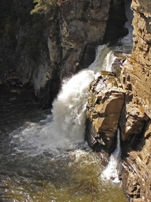
AUTO TOURING, BIKING, HISTORIC & CULTURAL SITE, CAMPING, FISHING, HIKING, PICNICKING, WILDLIFE VIEWING
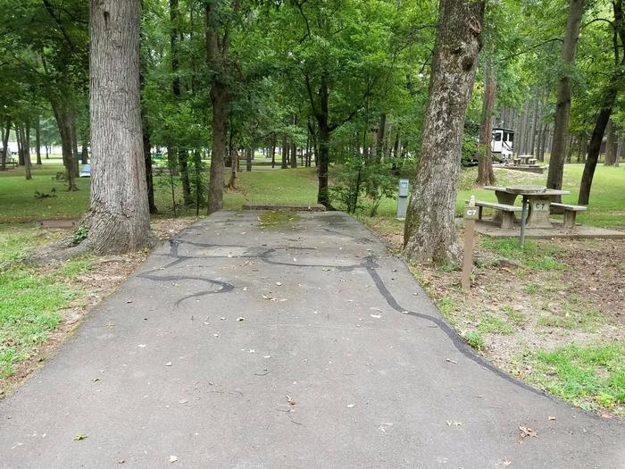
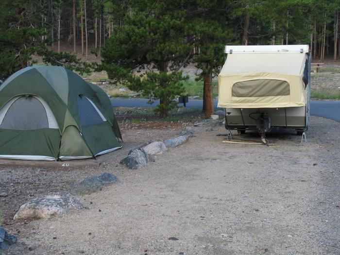
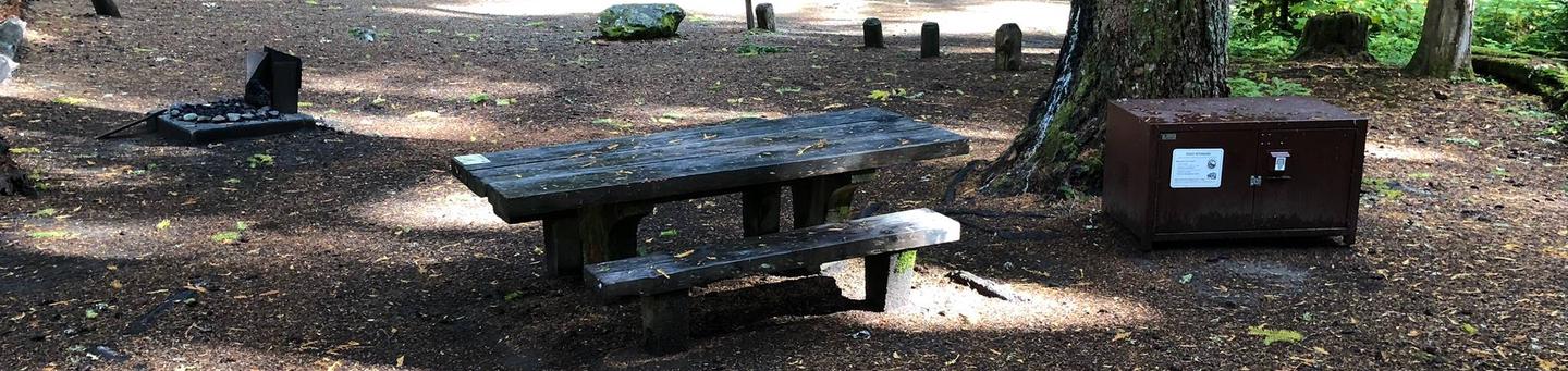
Camping Reservations
Reserve your campsite at these camping areas:
Hiking Trails
Looking for nice hiking areas to take a hike? Choose from these scenic hiking trails:
Related Link(s)
More North Carolina Recreation Areas
Blue Ridge Parkway Official Website
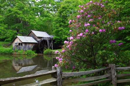
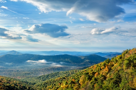
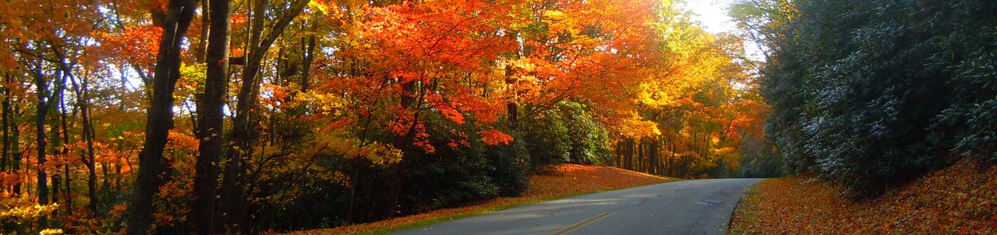
A Blue Ridge Parkway experience is unlike any other: a slow-paced and relaxing drive revealing stunning long-range vistas and close-up views of the rugged mountains and pastoral landscapes of the Appalachian Highlands. The Parkway meanders for 469 miles, protecting a diversity of plants and animals, and providing opportunities for enjoying all that makes this region of the country so special.