LOGGERS LAKE CAMPGROUND, MO Campground Reservation, Info, Images, Map, Directions

LOGGERS LAKE CAMPGROUND, Missouri Campground Images, Info & Reservations

Directions

From the junction of MO A Hwy and Hwy 72, go 1/4 mile west on A Hwy to Dent Co Rd 565 (Lincoln Ave). Go south on 565, 6 miles to FR 2193. Turn left on 2193 for 1 mile to Logger’s Lake.

Phone

573-729-6656

Activities

BOATING, HISTORIC & CULTURAL SITE, CAMPING, FISHING, HIKING, WILDLIFE VIEWING, OTHER RECREATION CONCESSION SITE

Keywords

Related Link(s)

Rec Area Info & Images

Missouri State Road Conditions

Missouri State Tourism

Overview

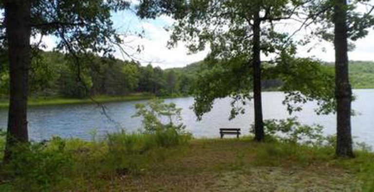
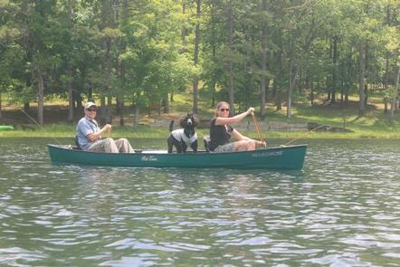
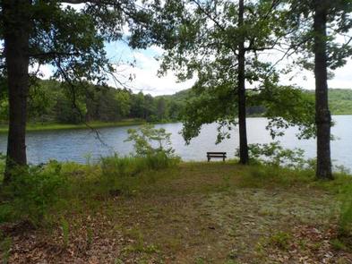
Located deep in the interior forests of Shannon County, Logger’s Lake Campground is situated along the southeast shore of Logger’s Lake. Constructed in 1942, this spring-fed lake is maintained as a fishery and is a destination for anglers looking for non-motorized boating and quiet bank fishing.

Recreation

Logger’s Lake offers good fishing for large-mouth bass, sunfish and channel catfish. The Day Use area has a small swim beach, boat ramp, picnic tables, and grills.

Facilities

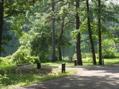
The campground area is located on the southeast lakeshore and all sites have a view of the lake, with only light vegetation in between. There are 14 sites with each site offering a table, fire ring, tent pad, and some offer lantern posts. Drinking water and vault toilets are centrally located. There are two boat ramps, and a barrier-free fishing pier. Group camping is available at Oak Knoll.

Natural Features

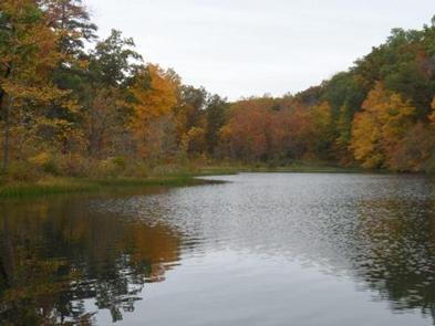
The campground is located on 22-acre, spring-fed Logger’s Lake. A variety of colorful vegetation, clear creeks and springs provide a picturesque setting.

Reservation

More from CampingHiking.net:

SAWNEE, Georgia Campground Images, Info & Reservations

Directions Take US 400 north exit 14, turn right on Highway 20 east, turn left onto Sanders Rd, at first stop sign turn right on Buford Dam Rd. Campground is on the left. Phone 770-887-0592 Activities BOATING, CAMPING, FISHING, PICNICKING, SWIMMING SITE, SWIMMING, WATER ACTIVITIES, WATER ACCESS Keywords SAWN,LAKE LANIER,SUWANEE,LAKE

SERVICE, Alabama Campground Images, Info & Reservations

Directions From Coffeeville, Alabama, drive about four miles west on U.S. Highway 84 and follow the signs to campground entrance. Park is located at mile marker 20 on Highway 84. Phone 251-753-6935 Activities CAMPING Keywords SERV,COFFEEVILLE LAKE,SERVICE,COFFEEVILLE,BLACK WARRIOR Related Link(s) Rec Area Info & Images Alabama State Tourism Alabama State

DONALDSON PARK, Tennessee Campground Images, Info & Reservations

Directions From Celina, TN (Highway 52), travel East Lake Avenue. Turn onto Jefferson Street. Follow signs into the park. Phone 931-243-3136 Activities BOATING, FISHING, PICNICKING, DAY USE AREA, PHOTOGRAPHY, KAYAKING, CANOEING, WATER ACCESS Keywords DONA,CELINA PARK,DALE HOLLOW LAKE,DALE HOLLOW,DONALDSON,CORDELL HULL DAM Related Link(s) Rec Area Info & Images Tennessee State

PINEKNOT, California Campground Images, Info & Reservations

Directions From I-10 in Redlands, take Highway 330 to Highway 18 in Running Springs. Continue east on Highway 18 at Big Bear Lake Dam, go straight at the dam and follow Highway 18. Turn onto Summit Boulevard and continue to a block wall. Turn left into the campground. Phone 909-866-8550