
Activities
AUTO TOURING, BIKING, BOATING, CAMPING, FISHING, HIKING, HORSEBACK RIDING, HUNTING, OFF HIGHWAY VEHICLE, PICNICKING, RECREATIONAL VEHICLES, WILDLIFE VIEWING, SWIMMING, HORSE CAMPING
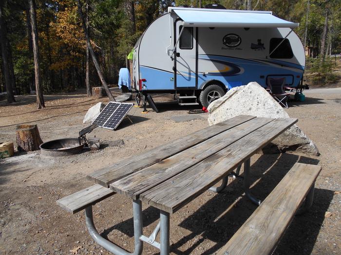
Camping Reservations
Reserve your campsite at these camping areas:
Hiking Trails
Looking for nice hiking areas to take a hike? Choose from these scenic hiking trails:
Ava/Cassville/Willow Springs Ranger District
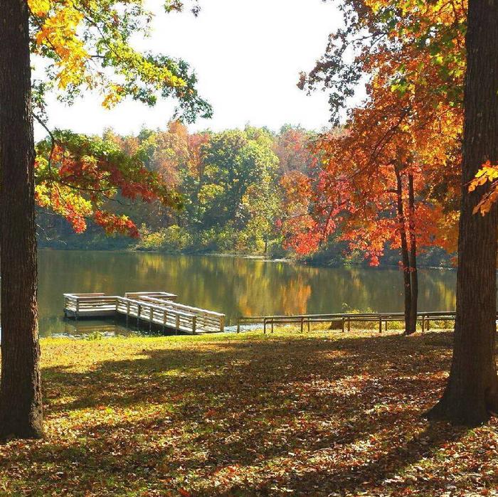
Carrington Pits Recreation Area
Related Link(s)
More Missouri Recreation Areas
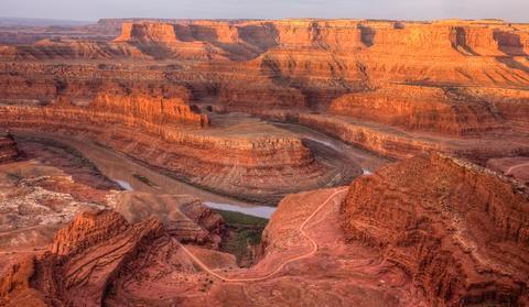
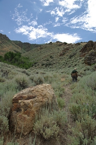
Mark Twain National Forest has a wide range of popular recreation opportunities. The forest has over 750 miles of trails. There are trails for hiking, horseback riding, mountain biking, and motorized use. The trails vary in length and difficulty.
Approximately 200 miles are completed of the 500-mile Ozark Trail, connecting from St. Louis to the Arkansas border. Plans are to connect the Missouri section with the Ozark Highlands Trail in Arkansas.
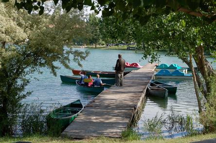
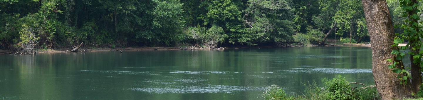
The Forest has more than 350 miles of perennial streams, most suitable for floating with canoes, kayaks, rafts, and inner tubes. The Forest and Missouri Department of Conservation maintain river accesses on popular streams.
Permitted outfitters provide services to the public at various locations throughout the forest.
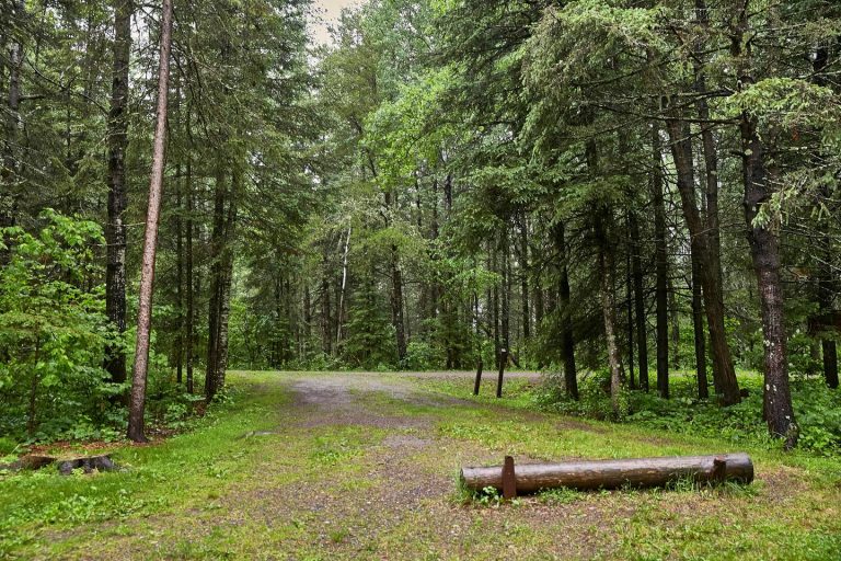
There are more than 35 campgrounds and picnic areas usually located near a special attraction such as a spring, stream, lake, towering bluff or other scenic area. Campgrounds and picnic areas vary from a few table sites to developed campgrounds. There are no cabins available for rent on the forest at this time.
The forest manages more than 78,000 acres as semi-primitive areas where the only access is by hiking, horseback, or mountain bike. Another 265,000 acres offer semi-primitive motorized recreation. These areas provide moderate to high opportunities for solitude. Hunting and fishing, with a valid Missouri Department of Conservation fishing license, are permitted in these areas.
In addition, Mark Twain National Forest has seven Congressionally-designated Wilderness areas and 26,000 special areas. Special areas are managed for the protection of unusual environmental, recreation, cultural or historical resources, and for scientific or educational studies.

The Recreational Sites are broken down by Districts which are located in 1 of 4
zones. Each zone contains maps of recreation opportunities for that zone,
included on these map are some of the local government facilities that are also
available.
Zone 1 Cedar Creek, Houston and Rolla Ranger District
Zone 2 Ava, Cassville and Willow Springs Ranger District
Zone 3 Eleven Point and Poplar Bluff Ranger Districts
Zone 4 Potosi, Fredericktown and Salem Ranger Districts
For District specific Recreational Opportunities
Ava/Cassville/Willow Springs
Eleven Point
Houston/Rolla/Cedar Creek
Poplar Bluff
Potosi/Fredericktown
Salem
For up-to-date information on closures and other current conditions, see “Alerts
& Notices” on the left.