


Directions
From Crescent, OR: Travel 12.2 miles west on County Road 61/Crescent Cut-off Road, then 3.5 miles north on Highway 58, then 9.9 miles southwest on Forest Road 60.
Phone
541-323-1746
Activities
CAMPING
Keywords
Related Link(s)
Overview
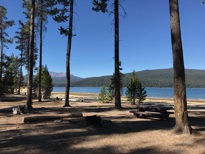
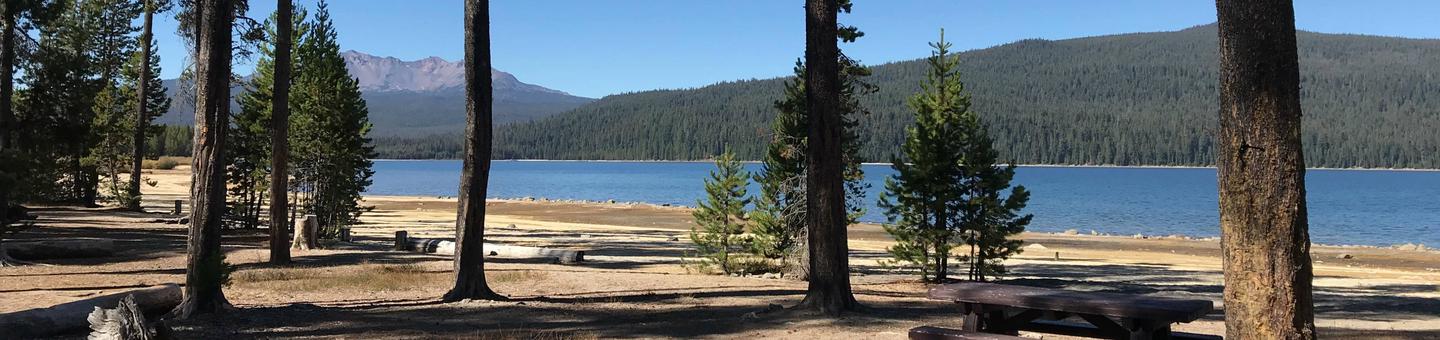
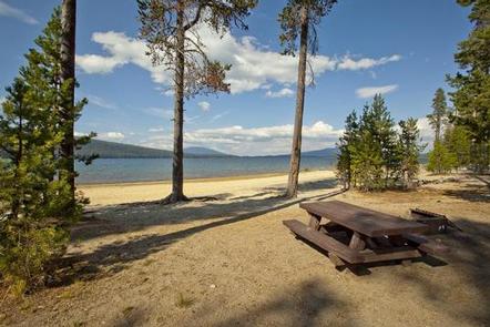
Contorta Flat is an isolated, hidden gem on the far side of Crescent Lake at the top of the Willamette Pass. There are excellent tent sites right on the lake as well as many sites that are ideal for large RVs. You will need to go a little off the beaten path by taking a gravel road for the last few miles to find this nice quiet campground. The sites are all close to the lake and large, but not isolated from one another. This campground might be the best deal in the Oregon Cascades.
Recreation
Crescent Lake is a prime location for boating, fishing and swimming. The Summit Lake Trail is popular among hikers and mountain bikers, offering excellent views of Diamond Peak across Crescent Lake.
Visitors can take advantage of skiing, snowshoeing and snowmobiling in the winter months. Crescent Lake Snowpark offers a base camp for exciting winter excursions. The Summit Lake Trail is open to snowmobiling.
Facilities
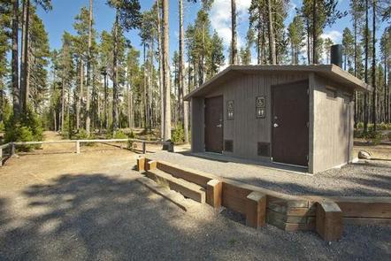
With 19 campsites this campground is well suited to tent, trailer or RV campers. Many sites are located right on the water.
Nearby Crescent Lake Resort also offers lodging and a general store. Supplies and equipment rentals are also available.
Natural Features
Cresent Lake is nestled in a glacier basin east of the towering Cascade Mountain Range. It boasts brilliant blue-green water and sandy beaches.
A forest of lodgepole pine provides the backdrop to the area, with mountain hemlock, fir and spruce in the mix. Wildlife found in the area includes deer, native fish and migratory birds.
Nearby Attractions
Visitors can explore wilderness areas, rivers, lakes and reservoirs, and approximately 1,600 miles of trails that comprise nearly 2.5 million acres within the Deschutes National Forest and the adjacent Ochoco National Forest.
Lava Lands Visitor Center in nearby Bend, Oregon, and the unique geological landscape of Newberry National Volcanic Monument draw visitors to the region as well.
Visitors enjoy traveling the Cascade Lakes Scenic Byway, known as Oregon’s Highway in the Sky, which climbs into the clouds on a 66-mile drive through the Cascade Range, weaving past snow-capped peaks and alpine lakes.