HARPETH RIVER BRIDGE CAMPGROUND (TN), TN Campground Reservation, Info, Images, Map, Directions

HARPETH RIVER BRIDGE CAMPGROUND (TN), Tennessee Campground Images, Info & Reservations

Directions

From Ashland City, Tennessee, head northwest on S Main Street toward Cumberland Street. Take the first left on TN-49W/ Cumberland Street and continue to follow TN-49W for 5 miles. Campground will be on your right directly before the Harpeth River Bridge.

Phone

615-792-4195

Activities

CAMPING

Keywords

Related Link(s)

Rec Area Info & Images

Tennessee State Road Conditions

Tennessee State Tourism

Overview

The relaxing family friendly atmosphere at Harpeth River Campground will have campers wanting to return as often as possible. Harpeth River Bridge Campground is located about 10 miles northwest of Ashland City, TN and is a 30 minute drive to Nashville.

Recreation

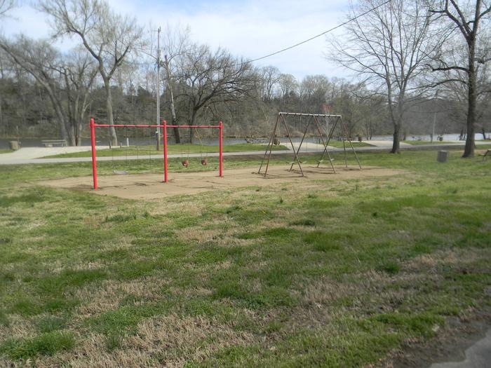
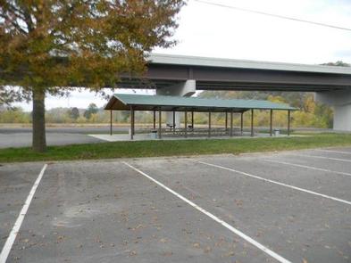
The temperate climate here allows for a lengthy recreation season, including boating, canoeing, and fishing. There is a large playground for the children and horseshoe pits for the adults. A large pavillion will be great for big family get togethers.

Facilities

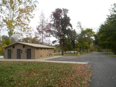
Weather you plan on using a tent or an RV, all sites have water and 50-amp electric hookups. Additional amenities include hot showers, new boat ramp, large picnic shelter, playground, concreted sites and a dump station.

Natural Features

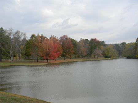
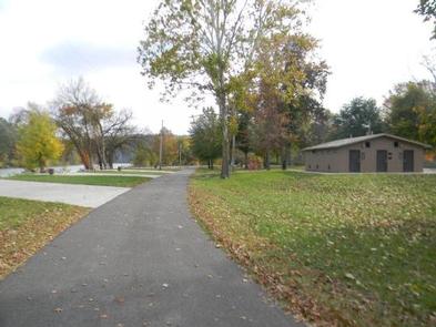
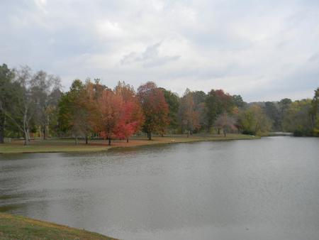
Harpeth River Bridge Campground is located on the right bank of the Harpeth River. The water wraps almost all the way around the campground so that every site can be considered a water site. Beautiful old trees litter the area and provide cool shade on even the hottest days.

Nearby Attractions

Nearby attractions include Cheatham Lake Wildlife Management Area, Doziers Dock, and Pardue Recreation Area. All the sights and sounds of Nashville, TN are just a 30 minute drive away.

Reservation

More from CampingHiking.net:

MAMMOTH CABIN, Utah Campground Images, Info & Reservations

Directions From Fairview, Utah, for 8.5 miles proceed east on Utah Highway 31. Then turn east (left) to Utah highway 264 for .2 miles, then turn left (north) through the paved parking lot to the gravel road, then right (FS road 0124 downhill). You will pass the Gooseberry Campground sign,

FISHERMENS BEND, Oregon Campground Images, Info & Reservations

Directions Fishermen’s Bend is located 29 miles east of Salem on Hwy 22, and 1.5 miles west of Mill City. Phone 503-897-2406 Activities BIKING, BOATING, CAMPING, INTERPRETIVE PROGRAMS, FISHING, HIKING, PICNICKING, VISITOR CENTER, WILDLIFE VIEWING Keywords FIBE,FISHERMEN S BEND REC SITE,FISHERMAN’S BEND Related Link(s) Rec Area Info & Images Oregon

ELK CREEK LANDING, Oklahoma Campground Images, Info & Reservations

Directions From Tahlequah, OK, go 14 miles southeast on Highway 82, then turn right and go a mile on the paved access road. Phone 918-487-5252 Activities BOATING, CAMPING Keywords ELCL,TENKILLER LAKE,TENKILLER FERRY LAKE,TENKILLER FERRY Related Link(s) Rec Area Info & Images Oklahoma State Tourism Oklahoma State Road Conditions Overview Elk

SPILLWAY GROUP AREA, Illinois Campground Images, Info & Reservations

Directions From I-57: Take take exit 71 and turn west onto Highway 14. After 3 miles turn right on Rend City Road, then right on Rend Lake Dam Road. Continue 3 miles to the park entrance on the left. Phone 618-724-2493 Activities BIKING, CAMPING, FISHING, HIKING, HUNTING, VISITOR CENTER, DAY

FORKLAND, Alabama Campground Images, Info & Reservations

Directions From Demopolis, Alabama, go nine miles north on U.S. Highway 43, then turn left on County Road. Continue about a mile to the campground entrance. Phone 334-289-5530 Activities BOATING, CAMPING, FISHING, HIKING Keywords FORK,DEMOPOLIS LAKE,MC CONNICO,BLACK WARRIOR Related Link(s) Rec Area Info & Images Alabama State Tourism Alabama State