Directions
From Fredonia, AZ: Travel on State Route 89a south 1 mile to Forest Road (FR) 22. Take a right onto FR22. Follow FR22 for approximately 30 miles (the pavement ends after approximately 19 miles). From FR22 take FR447 west (right turn) to the junction of the FR234 (4 miles), this is a long and windy road, be patient. Take a right onto FR427 and continue for .25 miles and then left on FR234; on FR234 and drive 9 miles to FR423. Take a left onto FR423 and follow for 1 mile to Jumpup cabin. From Jacob Lake, AZ: Travel south onto State Route 67 towards Grand Canyon National Park for.25 miles, take a right onto FR 461 (at Allen’s trail rides). Continue down FR461 for 5 miles (this a very steep and windy road with very little shoulder, drive SLOW), at the bottom of the hill stay right onto FR462; this will eventually intersect the FR22. Turn left onto FR22 and stay on this road for approximately 10 miles to the intersection of FR447. Take FR447 west (right turn) to the junction of the FR234 (4 miles), this is a long and windy road, be patient. Take a right onto FR427 and continue for .25 miles and then left on FR234; on FR234 drive 9 miles to FR423. Take a left onto FR423 and follow for 1 mile to Jumpup cabin.
Phone
928-643-8188
Activities
BIKING, HISTORIC & CULTURAL SITE, CAMPING, HIKING, HUNTING
Keywords
Related Link(s)
Overview
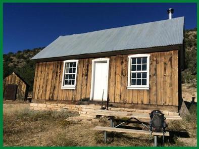
Since the 1900s, Jumpup cabin has been used by ranchers as well as the Forest Service, and is listed on the National Register of Historic Places. The site consists of a historic two-room cabin, shed and composting toilet.
Recreation
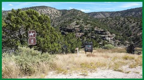
Jumpup cabin is located at the trailhead for the Ranger trail, a 17-mile wilderness trail that winds through Kanab Creek. Hiking this area is very popular in the spring and fall months, but is discouraged during the hottest summer months. Water is scarce and some route-finding is required.
Facilities
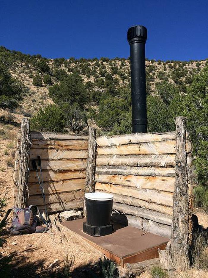
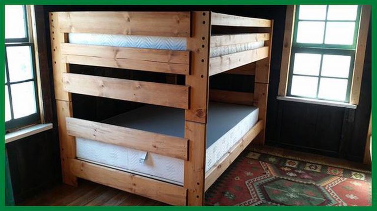
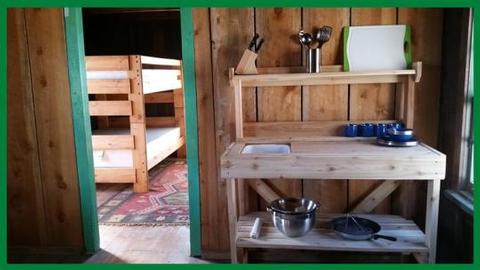
Jumpup cabin is a rustic log structure with an open concept, divided into two distinct areas. A main living and cooking area which has a table and chairs, wood burning stove (the sole source of heat) and a small kitchenette with a wash tub. There is no electricity, running water or propane. Lanterns and cooking supplies are provided. The second room is a bunk room with two sets of double-over-double bunk beds. Guests will need to bring their own linens or sleeping bags. Guests must also provide their own water and fire wood. Outside there is an open air composting toilet, a fire ring and a picnic table. This site is a pack-it-out site. Guests should be prepared to do light cleaning prior to leaving to help prevent rodent issues.
Natural Features
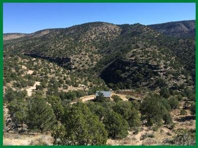
With a panoramic view of Kanab Creek Wilderness, the cabin sits on the edge of Jumpup canyon. From the front door you take in a wide open expanse of red rock descending into canyon walls below, lined with juniper, pinyon, yuccas, sage and cliffrose. With an elevation of 5,500 feet and a predominantly southern exposure, this site is hotter and drier than many other areas in the forest. There is no water at the cabin site, but a short .25-mile hike down the Ranger trail will take you to Lower Jumpup spring, a perennial spring configured to a holding tank.
Nearby Attractions
Located 2 hours from the North Rim of Grand Canyon National Park, 2.5 hours from Zion National Park, and 2 hours from the scenic gateway community of Kanab, Utah, the Kaibab National Forest is situated ideally for traveling throughout the grand circle.

