
Directions
From Moab, drive 10 miles on the Kane Creek Road. The group site is on the left hand side of the road.
Phone
435-259-2100
Activities
CAMPING, HIKING, PHOTOGRAPHY, MOUNTAIN BIKING, SCENIC DRIVE
Keywords
Related Link(s)
Overview
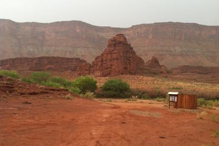
The Ledge Group Site and Ledge E Group Site are ideal for visitors looking to explore vehicle backcountry routes in the area. Access to the Ledge Campground is down a tight, steep switchback and over several creek crossings on a gravel/dirt road. It is not recommended for vehicles over 22′ or vehicles pulling long traiiers. Within close proximity to national parks and open space, outdoor enthusiasts will enjoy hiking, mountain biking, and four-wheeling on designated roads with beautiful scenery. The town of Moab is approximately 25 minutes away and has dining, shopping, sports rentals, tour companies and museums.
Recreation
The Ledge area is known for its access to four-wheel drive, ATV and dirt bikes/motorcycle routes. Hurrah Pass and other OHV routes are nearby. The Ledge is best for spring and fall use as hot summer temperatures and lack of shade in the area are challenging.
Facilities
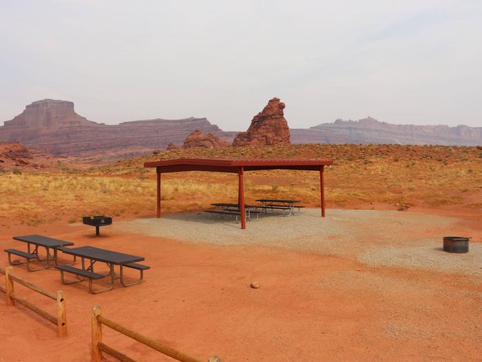
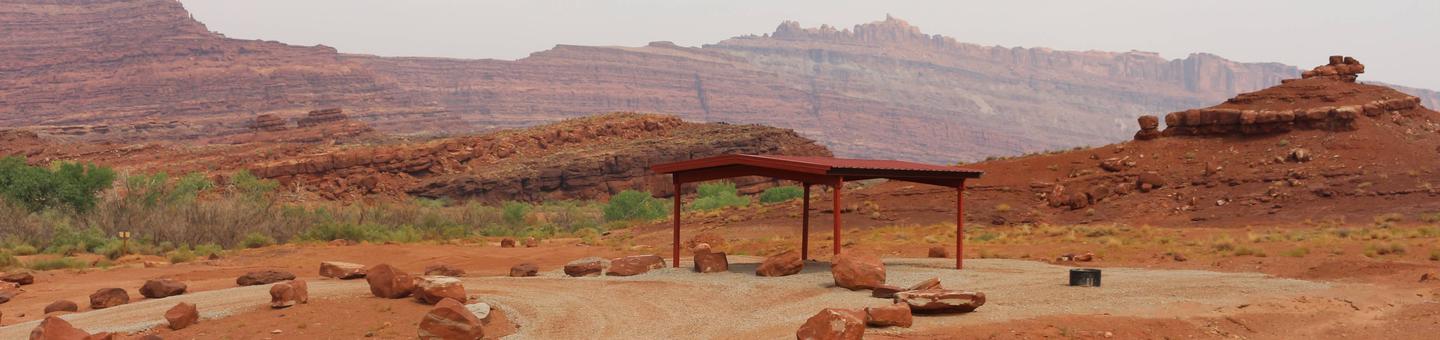
The group sites have a fire ring with a grate, picnic tables and a vault toilets. The group sites do not have water, dump station or electric hook-ups. This area is often utilized by groups with motorcycles and ATVs. There is access to 4WD routes directly from the campground. Access to the Ledge Campground is down a tight, steep switchback and over several creek crossings on a gravel/dirt road. It is not recommended for vehicles over 22′ or vehicles pulling long trailers. Caution: The Ledge E Group Site is accessed by crossing the Kane Creek drainage, which periodically floods during storms.
Natural Features
Situated off the Kane Creek Road, the dirt roads in this area are well known for their challenging routes and incredible views. Some of these roads include access to viewpoints overlooking the Colorado River and Hurrah Pass.
Nearby Attractions
Kane Creek, Hurrah Pass, Hunter Canyon, Amasa Back and Moonflower Canyon are just some of the many canyons that surround the Ledge and are great areas to explore.