
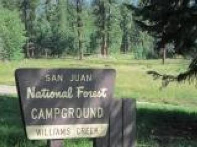
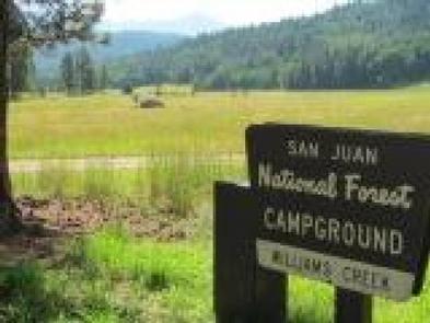
Directions
From Pagosa Springs, turn north on Piedra Road (Forest Road 361.) Turn right at the intersection of FS 631 and FS 640, about 3 miles north of Bridge Campground. The entrance is approximately 1/2 mile from the junction.
Phone
970-264-2268
Activities
BIKING, CAMPING, HIKING
Keywords
Related Link(s)
Colorado State Road Conditions
Overview
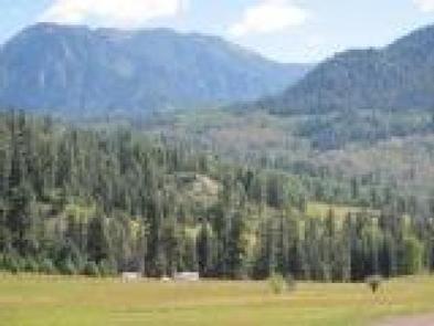
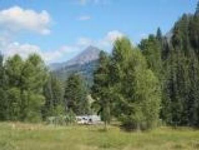
This popular campground, 23 miles north of Pagosa Springs, Colorado, offers both shaded and sunny campsites with some located creek-side. Visitors enjoy the area for its fishing, all-terrain vehicle (ATV) riding, and scenic opportunities.
Recreation
The campground is one mile from Williams Reservoir, a popular fishing and kayaking spot. There are several ATV and hiking trails approximately one to five miles beyond the campground.
Facilities
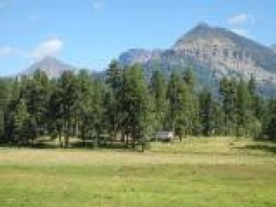
The campground offers many single family sites, some with water and sewer hookups and many with views of the surrounding mountains. There are two double sites and one triple site, suitable for larger family gatherings. There are a few level pull-through and back-in sites appropriate for larger RVs. Vault toilets and drinking water are available. Firewood may be purchased from the camp host.
Natural Features
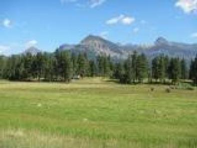
The campground is situated among cedar, aspen and ponderosa pines. Some sites are located on the banks of Williams Creek, which runs along the eastern edge of the campground; some have spectacular views of the surrounding mountains.
Nearby Attractions
There are many fishing opportunities in the creek and in the nearby reservoir. A popular hike nearby is Piedra Falls, located a short distance from the campground. ATV enthusiasts enjoy Poison Park Road which is several miles from the campground, or traveling to East Fork Road to enjoy this four-wheel drive-only road to Silver Falls. Just a few miles north of Williams Creek Campground, is the Cimarrona Trail which begins across the road from its campground namesake. The Williams Creek Trail begins at the end of the Williams Creek Road, at the Palisades Horse Camp. Both run through the Weminuche Wilderness to connect with the Continental Divide Trail. In addition, the town of Pagosa Springs offers many festivals on the weekends and the hottest, deepest hot springs in the country.