

Directions
From the intersection of Hwy 441 and Hwy 90 in Lake City, FL, drive east on Hwy 90 for 12.6 miles. Turn left at the flashing light onto Pine Street. Cross over the railroad tracks. After about half a mile, you will see a sign directing you to turn left and proceed to The Landing. Turn onto your first road on the left, and you will soon see the gate for the facility.
Phone
(386) 752-2577
Activities
CAMPING, FISHING, SWIMMING SITE
Keywords
The Landing,The Group Landing
Related Link(s)
Overview
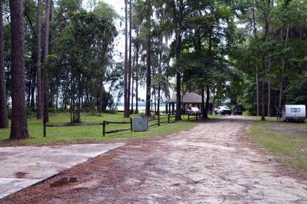
Group Landing is a secluded area that offers a flexible space accommodating many outdoor activities, from a weekend family camping trip to a midweek company picnic.
Recreation
Swimming, canoeing, kayaking, fishing and more are easily accommodated. A private sand beach gives a great venue for relaxing by the water or swimming in its cool waters. It’s easy to shore launch a small boat, canoe, or kayak, and a boat ramp at Olustee Beach nearby can handle larger craft.
Facilities
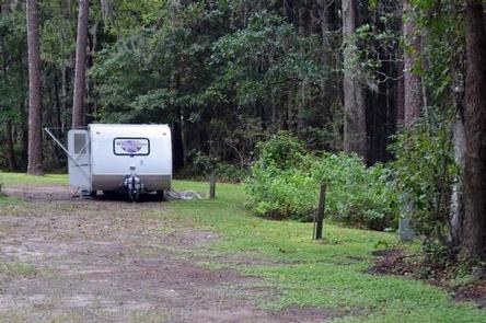
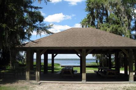
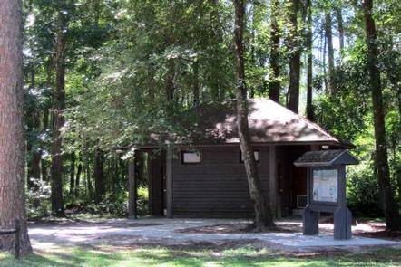
The site includes four electric hookups, an accessible bathhouse with hot showers and flush toilets, a large picnic shelter, and potable water. Bear-proof garbage cans, picnic tables, a large grill, and a fire pit are also provided.
Natural Features
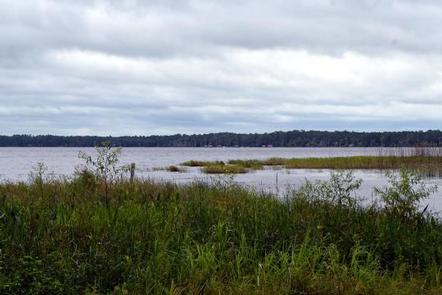
Situated on the shore of Ocean Pond, you can relax and admire the tranquil beauty from your own private beach. Your campsites are surrounded by tall pines and cypress draped in Spanish moss. Wildlife sightings abound.
Nearby Attractions
Olustee Beach, with a large day use area, swimming beach, and boat ramp, is right next door. Ocean Pond is a large freshwater lake excellent for fishing and boating. Twenty-two miles of the Florida National Scenic Trail wind through the Osceola National Forest. Make sure to visit the Olustee Battlefield, site of the largest Civil War battle in Florida.