BEAR LAKE CAMPGROUND, WI Campground Reservation, Info, Images, Map, Directions

BEAR LAKE CAMPGROUND, Wisconsin Campground Images, Info & Reservations

Directions

From Wabeno, drive north 5.5 miles or from Laona drive 3.0 miles to County Road T. Turn east and drive 3 miles to County Road H. Turn right (north) drive 0.75 miles to Goodman Park Road (FR2136). Turn right (east) and drive 4.1 miles to FR3770. Turn right (south) on FR3770 and drive 0.4 miles to the campground.

Phone

(715) 674-4481

Activities

CAMPING

Keywords

Related Link(s)

Rec Area Info & Images

Wisconsin State Tourism

Wisconsin State Road Conditions

Overview

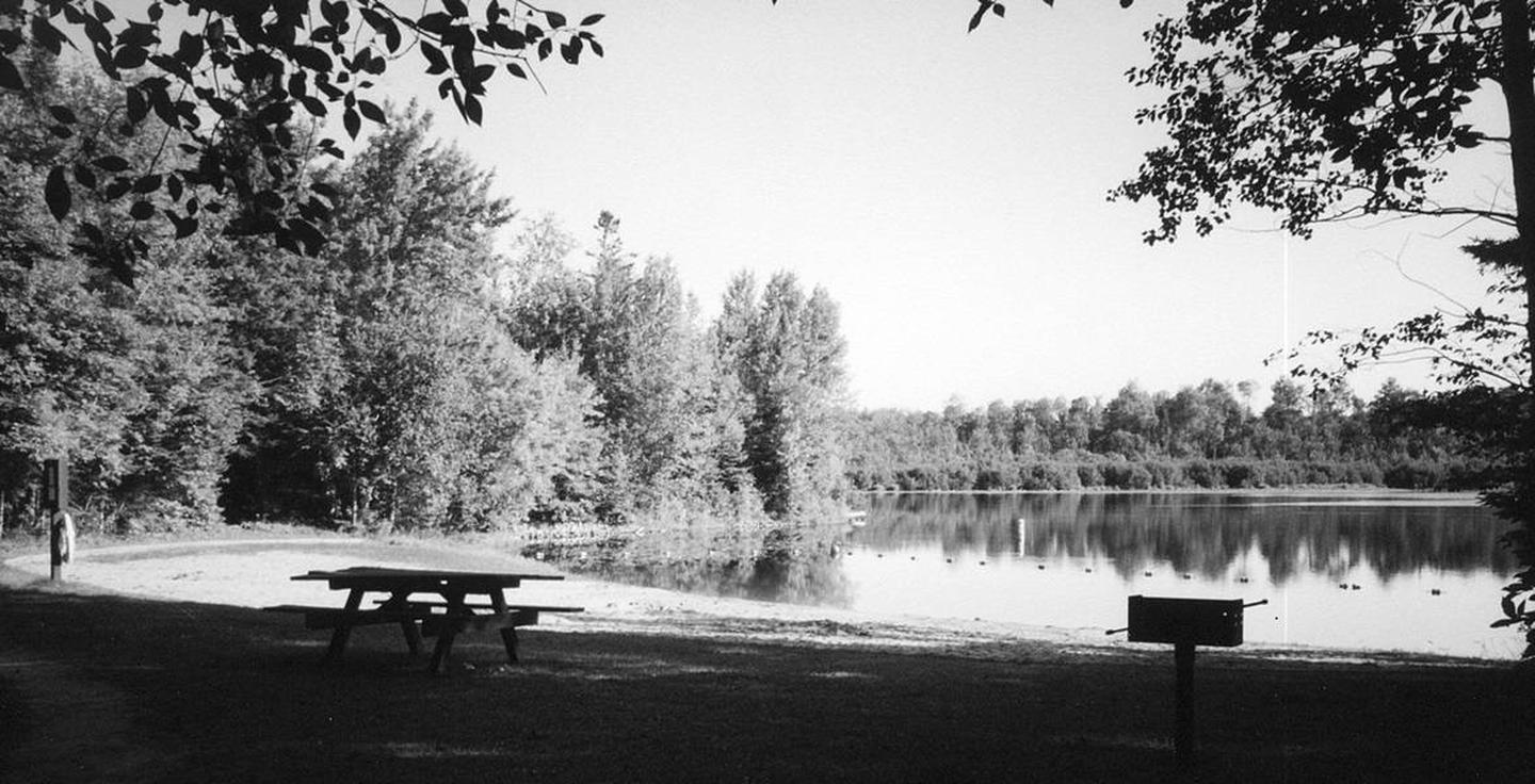
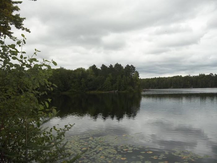
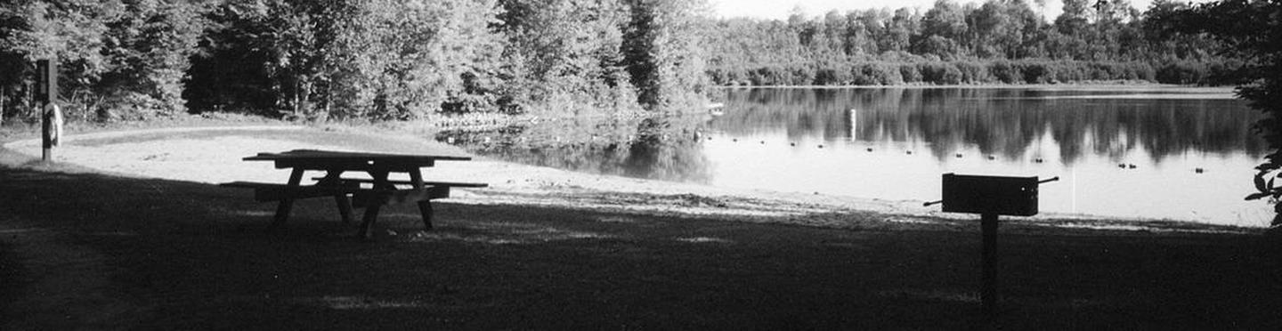
If you are interested in a quiet campground and excellent pike fishing, Bear Lake Campground is for you. Campsites are situated along the wooded shore and ridge with outstanding views of the lake.

Recreation

The Chequamegon-Nicolet National Forest has an abundance of outdoor recreation opportunities. Those most enjoyed at Bear Lake are fishing, swimming, kayaking, and canoeing. The Rat River trail is a good nearby hiking opportunity.

Facilities

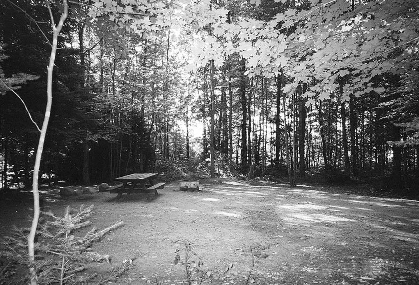
Bear Lake Campground has 27 sites. A majority of campsites can accommodate campers as long as 30 feet and longer. The campground also has five tent-only walk-in sites on a wooded peninsula jutting into the lake. Drinking water, vault toilets, swim beach, picnic area, and a boat landing are also provided at this location. All roads are paved with blacktop.

Natural Features

This campground sits on the southwest corner of 68-acre Bear Lake. The campground is a mix of hardwoods and pine. The water quality of the lake is moderate at a maximum depth of 20 feet. Fish species found in the lake are northern pike, panfish, and largemouth bass. This campground is also popular with grouse hunters and fall color enthusiasts.

Nearby Attractions

Bear Lake is in close proximity to the Rat River Hike and Bike Trail. Trout fishing opportunities are also nearby on the Peshtigo and Rat Rivers.

Reservation

More from CampingHiking.net:

Maroon Bells Amphitheatre, Colorado Campground Images, Info & Reservations

Directions Coming to Aspen via Independence Pass: Take Highway 82 West from downtown Aspen, 1 mile to the roundabout (rotary). From the roundabout, take Maroon Creek Road 4.7 miles to the Maroon Bells Welcome Station. Continue past the Welcome Station. The amphitheater is 5 miles beyond the Welcome Station at

CADIZ, Kentucky Campground Images, Info & Reservations

Directions From Nashville, Tennessee,or St. Louis take I-24 to the Cadiz, Exit 65, travel west on St. HWY 68/80 6 miles. Turn right onto KY 139 for 1.5 miles. turn left on Jefferson St Phone 270-362-4236 Activities BOATING, FISHING, PICNICKING, DAY USE AREA Keywords CADI,LAKE BARKLEY,BARKLEY LOCK & DAM Related

SAWNEE, Georgia Campground Images, Info & Reservations

Directions Take US 400 north exit 14, turn right on Highway 20 east, turn left onto Sanders Rd, at first stop sign turn right on Buford Dam Rd. Campground is on the left. Phone 770-887-0592 Activities BOATING, CAMPING, FISHING, PICNICKING, SWIMMING SITE, SWIMMING, WATER ACTIVITIES, WATER ACCESS Keywords SAWN,LAKE LANIER,SUWANEE,LAKE

WILSON POINT (Day Use), Oklahoma Campground Images, Info & Reservations

Directions From Sawyer, OK, take Highway 147 north for a mile, then turn left into the day use area. Phone 580-326-0173 Activities BOATING, CAMPING, FISHING, HIKING, HUNTING, WILDLIFE VIEWING, SWIMMING SITE Keywords None Related Link(s) Rec Area Info & Images Oklahoma State Tourism Oklahoma State Road Conditions Overview Wilson Point

CEDRON CREEK, Texas Campground Images, Info & Reservations

Directions From I-35 in Hillsboro, take HWY 22 west, continue 12 miles to Whitney. At Whitney, take HWY 933 north for 3 miles, turn left on FM 1713 and cross the bridge, over the lake. Cedron is the first road on the left. Follow signs into the campground. Phone 254-622-3332