
Directions
Hearts Content Recreation Area is located 15 miles southwest of Warren, PA. From the Mohawk exit of U.S. Route 6, take Pleasant Drive south for 11 miles. Turn left onto State Secondary Route 2002 (Hearts Content Road) and go south for four miles to Hearts Content. The Hearts Content Recreation Area is split by State Route 2002, with the campground on the west side of the road and the scenic area on the east side. Coming from the east, take PA-6 to Sheffield and turn left at the stop lightonto PA-666. Cross the railroad tracks and turn right after 1 block onto Bull Hill Road and cross Tionesta Creek on the iron bridge, heading up the hill to the left. This road changes names several times (Bull Hill, Austin Hill, Hearts Content), but is State Secondary Route 2002. Follow it for 13.3 miles to Hearts Content. The campground will be on the left (west) side of the road and the scenic area will be slightly further ahead on the right.
Phone
814-368-4158 (ALLEGHENY SITE MANAGEMENT, CAMPGROUND CONCESSIONAIRE)
Activities
CAMPING, HIKING, WINTER SPORTS
Keywords
Hearts Content,Heart’s Content,Hearts Content Campground
Related Link(s)
Pennsylvania State Road Conditions
Overview
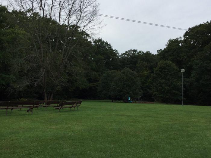
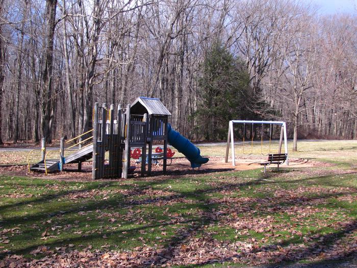
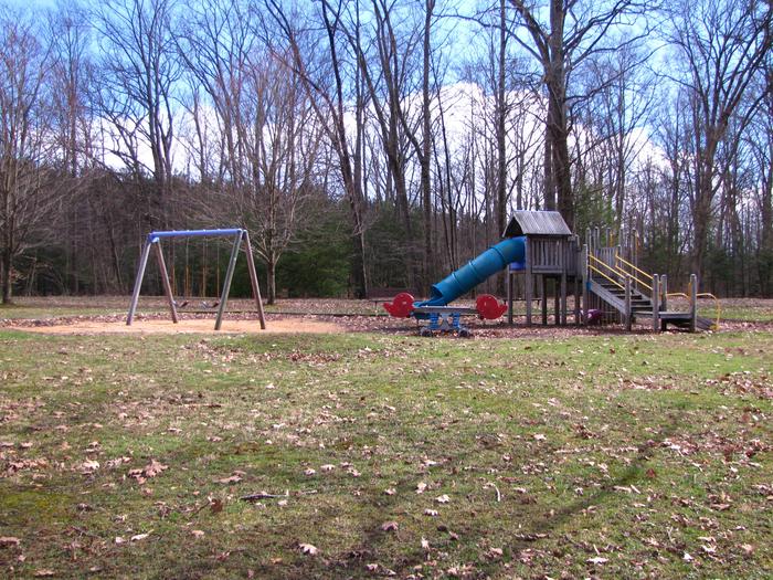
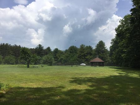
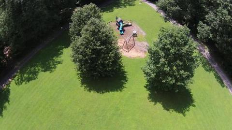
Hearts Content Campground is a semi-primitive family campground bordering the Hickory Creek Wilderness Area and surrounded by native hardwoods and a patch of planted pine forest. There is a large open field containing a playground, volleyball net, and amphitheater that is suitable for other games near the campground entry, and another large field at the back of the campground that serves as both group camping sites and a helispot. Hearts Content Campground is operated under a concession permit by Allegheny Site Management.
Recreation
Cross-country Ski Trail: This 6.4 mile (10.5 km) trail utilizes old railroad grades, roads and existing trails to form several loops for your skiing pleasure. The Wheeler Loop Trail goes through the campground and connects to the Tom’s Run and Ironwood trails in the Hearts Content Scenic Area. These trails are marked with blue plastic diamonds on the trees. Hickory Creek Wilderness: The trailhead is located approximately 1/4 mile north of the campground entrance. This 8,663-acre area provides opportunities for solitude and a primitive and unconfined type of recreation as a refuge from our highly modified and technological world. No motorized equipment of any kind and no mechanical transports are permitted. A 13-mile loop hiking trail weaves its way through the rolling terrain, climbing in and out of the valleys. It is sparsely marked and maintained to promote a feeling of wildness and the unknown. It may not be suitable for novice hikers – please know your limitatons and do not add markings to help with way-finding. Orienteering Course: Enjoy this self-guided course that allows you or your group to follow, at your leisure. It is a permanently marked route as an introduction to the sport of orienteering. It starts in the Hearts Content Scenic Area.
Facilities
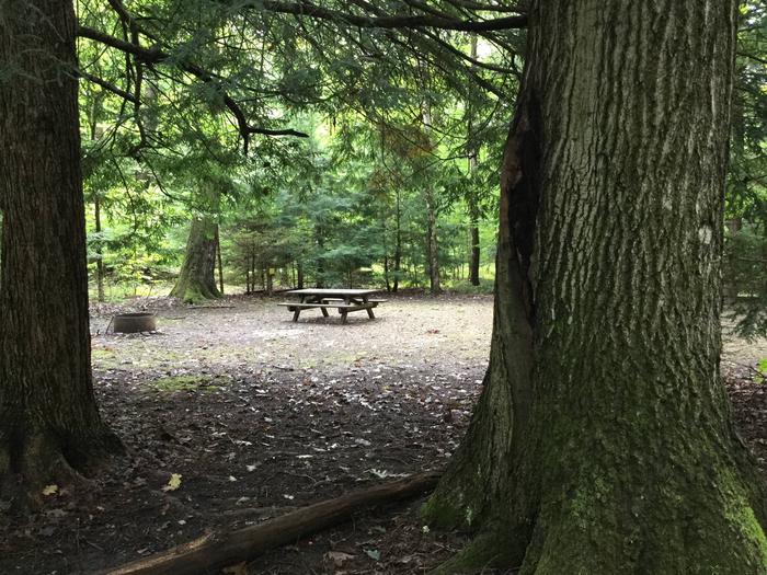
Each of the 26 family campsites contains a picnic table, fire ring and tent pad/RV spur. Two sites also have lean-to shelters. Vault toilets and pressurized water are available. A dump station is located at the exit. The kids will enjoy the small playground with its log cabin, sandbox and other attractions. There’s lots of open area, too. Campsites can be reserved or available on a first-come, first-served basis only.
Natural Features
North of the campground, Hearts Content National Scenic Area is located next to the picnic area across the road. Here stands the remnants of a 300 to 400 year old stand of white pine, hemlock, and beech. Time, insects, and disease are changing the look and nature of this stand. The Interpretive Old Growth Trail starts at the north end of the east side parking lot and winds about one mile through the timber stand before returning to the picnic area. All facilities in the day use area are universally accessible to people with disabilities. Facilities include a picnic area, pavilions, toilet and interpretive materials.
South of the campground is Hickory Creek Wilderness, an 8,633 acre second-growth forest of dense trees and ferny undergrowth. This area is managed to let natural processes determine what it will be in the future. Wind, insects, disease, and drought are all shaping the species composition of the trees and understory, which will in turn determine what species of wildlife will inhabit this area. A roughly 13-mile trail traverses the plateau of the area, with the trailhead located approximately 1/4 of a mile north of the campground entrance. The trail is only occasionally marked and may not be suitable for novice hikers.