

Directions
From downtown Prescott, take Montezuma Street north to Whipple Street, which becomes Iron Springs Road. Continue northwest on Iron Springs Road for 3.5 miles and then turn right onto Granite Basin Road (FSR 374). Travel 2 miles to Yavapai Campground located on the left.
Phone
1 (877) 444-6777
Activities
BIKING, BOATING, CAMPING, FISHING, HIKING
Keywords
Related Link(s)
Overview
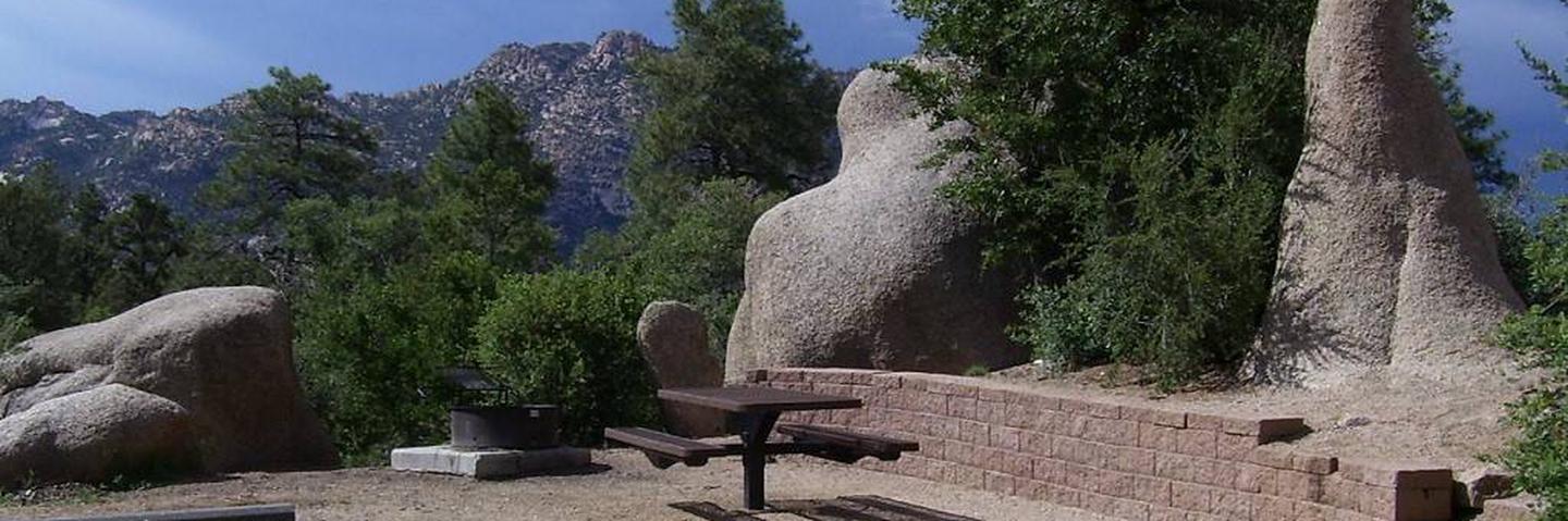
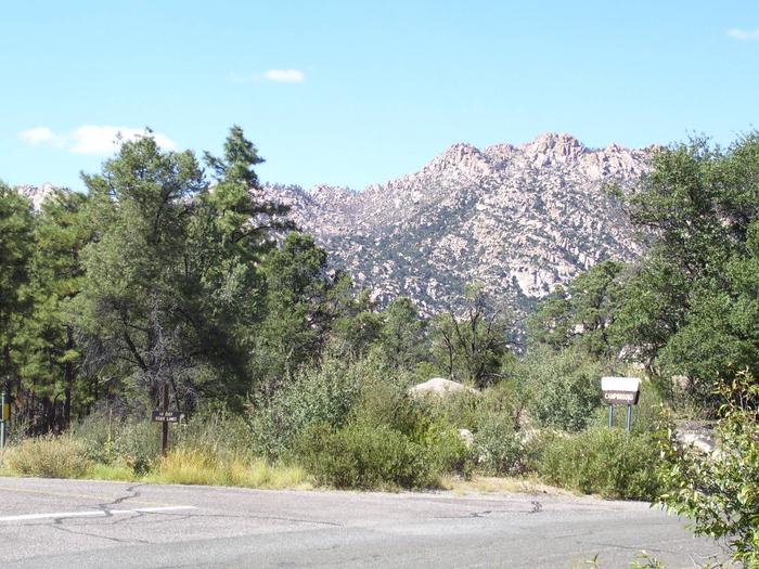
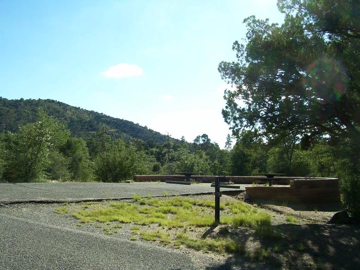
Yavapai Campground is within the Granite Basin Recreation Area, at an elevation of 5,600 feet. The campground is located seven miles northwest of downtown Prescott. Main attractions are mild weather, cool ponderosa pine forest, and Granite Basin Lake. Activities include fishing for largemouth bass, channel catfish, and sunfish, canoeing, hiking, mountain biking, horseback riding, and bird watching. Rising to the northwest is prominent Granite Mountain Wilderness Area. Several connector and loop trails reside in close proximity to the campground. Most trails allow for multiple modes of travel. To make reservations click on the availability button to the right to book this site or call 1 (877) 444-6777. For general campground questions contact the Bradshaw Ranger District at 1 (928) 443-8000.
Recreation
Yavapai Campground is available year-round and is enjoyed by people of all age groups and diverse backgrounds. Campsites are designed for RV, trailer, or tent camping. Two sites allow for double occupancy. Most campsites are compact and each has a degree of privacy and solitude. Many popular outdoor activities abound in the Granite Basin Recreation Area.
Facilities
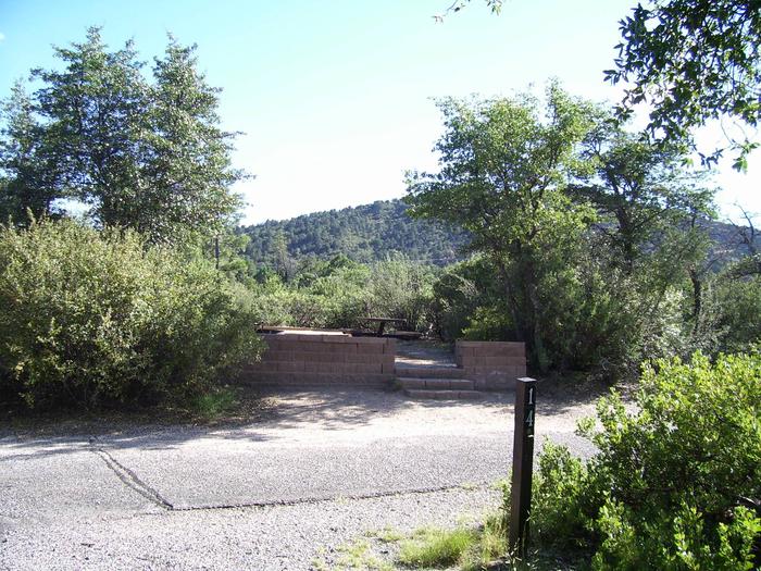
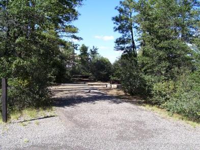
Yavapai Campground has 19 single occupancy campsites and two double occupancy campsites. Campsites number 4, 16, and 21 are walk-in only and cannot be reserved. Each campsite has a picnic table, steel fire ring, and established tent pad(s). Four accessible campsites have small pedestal fire grills. All campsite driveways are back-in and have asphalt surfaces. Some campsite driveways allow a camp unit (RV or tow vehicle and trailer) and an extra vehicle quite easily, but others do not. Campsites number 3 and 4 are limited to a trailer length of 15 feet maximum or an RV length of 25 feet maximum. Campsite 10 can accommodate a trailer length of 10 feet maximum (i.e., pop-up) or a cab-over camper, or an RV that is a maximum length of 25 feet. Services include two composting restrooms, trash dumpsters, and water faucets. There is no dump station in the campground.
Natural Features
Yavapai Campground was designed to be integrated within the natural setting of granite rock outcrops and a variety of ponderosa pine, limber pine, oak, manzanita, and a variety of shrubs and grasses. The facility is located within Granite Basin Recreation area. Access to Granite Mountain Wilderness and Granite Basin Lake can either be made by several interlocking hiking trails or by driving a short distance.
Nearby Attractions
Within a short distance of Yavapai Campground, in the Granite Basin Recreation Area, there are several day use areas and Granite Basin Lake. Visitors enjoy fishing, bird-watching, backpacking, hiking, horseback riding, mountain biking, picnicking, camping, and just plain relaxing. Immediately rising north of Granite Basin Lake is Granite Mountain at 6,874 feet. The rugged topography and mixed vegetation it comprises is enveloped by the Granite Mountain Wilderness Area. Alto Pit OHV Campground and Day-Use Area is just a 15 minute drive to the southwest of the Granite Basin Recreation Area. Rising prominently to the south of the Granite Basin Recreation Area is Thumb Butte. At an elevation of 6,515 feet, Thumb Butte is one of the most popular destinations in the Prescott National Forest.