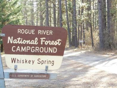
WHISKEY SPRINGS CAMPGROUND, OR Campground Reservation, Info, Images, Map, Directions

WHISKEY SPRINGS CAMPGROUND, Oregon Campground Images, Info & Reservations

Directions

From Butte Falls, OR, take County Rt. 821 south 9 miles to campground sign. Turn left after sign onto Forest Rt. 3065 and go 0.3 miles to another campground sign. Turn left at sign and go 0.3 miles to campground.

Phone

541-560-3900

Activities

CAMPING, FISHING, HIKING, VISITOR CENTER, DAY USE AREA

Keywords

Related Link(s)

Rec Area Info & Images

Oregon State Road Conditions

Oregon State Tourism

Overview

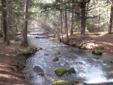
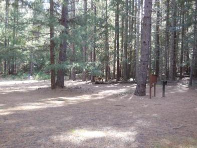
The campground is a large bisected loop in a dense stand of Douglas fir, cedar and other conifers next to Whiskey Springs Pond. The dense canopy from the Douglas fir trees filters the sunlight providing a good environment for a variety of ground covers. Tall shrubs and young conifers provide privacy between campsites. This campground has a classic "forest feel" to it. Beavers are said to live in the pond.

Recreation

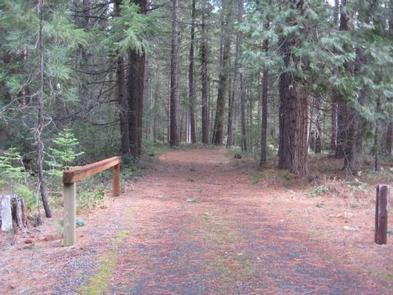
The trailhead for the Whiskey Springs Interpretive Trail is located within the campground.

Facilities

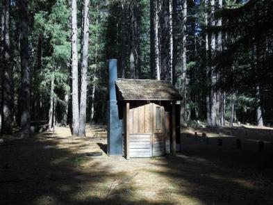
This small campground contains a variety of campsites to accommodate all types of visitors and campers, including group, family and single campsites. Drinking water is available. The campground has vault toilets. Firewood is available for purchase from the host.

Natural Features

Quiet and secluded this campground is located on the site of the original supply road (Old Military Road) for Fort Klamath.

Nearby Attractions

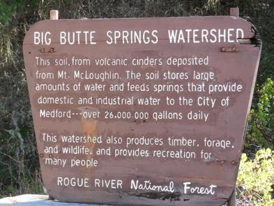
The campground is quiet and secluded located in the City of Medford, OR, watershed. This remote and picturesque campground is a short distance from Willow Lake and Fish Lake, and nearby to Four Bit Ford Campground.

Reservation

More from CampingHiking.net:

KEYESPORT REC. AREA, Illinois Campground Images, Info & Reservations

Directions From I-70, take State Route 127 south for 10 miles. Turn east on Clinton Road, continue east for four miles to the town of Keyesport, then follow signs to the recreation area. Phone 618-594-5253 Activities BOATING, CAMPING, FISHING, SWIMMING SITE Keywords KEYS,CARLYLE LAKE Related Link(s) Rec Area Info &

BALD KNOB LOOKOUT, Oregon Campground Images, Info & Reservations

Directions From Portland take 1-5S to OR-42 West. Take OR 542 S to Powers. Drive south from the Powers Ranger District office on Highway 242 through the town of Powers to the Forest boundary. Continue on Forest Service Road 33 along the South Fork of the Coquille River for approximately

CURRIER GUARD STATION, Oregon Campground Images, Info & Reservations

Directions From Paisley Ranger District, drive 12 miles north on Highway 31 and turn left on Forest Road 29, also referred to as Government Harvey Pass. Drive 10 miles on Forest Road 29. Drive carefully on this road as it has narrow curves and washboard conditions. At the junction with

BLUE BILL POINT, Oklahoma Campground Images, Info & Reservations

Directions Address for GPS: Blue Bill Point Campground, 67260 S. 307 Rd., Wagoner, Oklahoma 74467. From the intersection of US Highway 69 and State Highway 51 in Wagoner, Oklahoma, travel north on Highway 69 for 5.5 miles. Turn right on East 680 Road and travel east for 1 mile. Follow

Fort Hunt, Virginia Campground Images, Info & Reservations

Directions From Interstate 395, take exit 10B for George Washington Memorial Parkway. Merge onto the parkway and continue for about 12 miles. Turn right onto Fort Hunt Road and continue to the park. Phone 202-439-7325, OR 703-235-1530 Activities HISTORIC & CULTURAL SITE, HIKING, PICNICKING, GUIDED INTERPRETIVE WALKS Keywords CG15,FORT HUNT