Webb Creek Park, MO Campground Reservation, Info, Images, Map, Directions

Webb Creek Park, Missouri Campground Images, Info & Reservations

Listen

Directions

From Ellington, MO, travel south on MO 21 for 2.6 miles to Route H. Route H ends in the park.

Phone

573-223-7777 (CLEARWATER LAKE PROJECT OFFICE) 573-461-2282)

Activities

BOATING, CAMPING

Keywords

Related Link(s)

Rec Area Info & Images

Missouri State Tourism

Missouri State Road Conditions

Overview

Webb Creek Campground on Clearwater Lake greets visitors with excellent camping, fishing, swimming, boating and picnicking opportunities. Water sport enthusiasts love the lakes diverse offerings, from boating to jet skiing and canoeing to swimming. Clearwater is considered a "wilderness lake" because it lacks private boat docks and offers plenty of unspoiled shorelines to explore.

Recreation

Wildlife viewing is popular with wetland waterfowl, fox, deer and geese. Picnicking is also a favorite pastime, as is lounging on the beach, boating and fishing.

Facilities

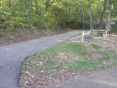
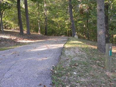
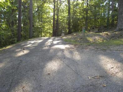
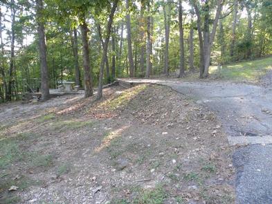
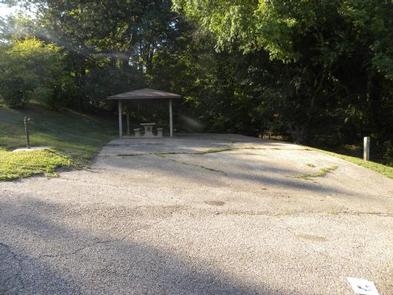
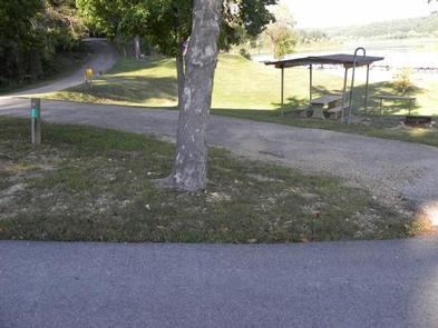
Webb Creek Campground offers 31 sites, both electric and non-electric. Most of the campsites are located on a wooded hillside and each campsite offers a fire ring and picnic table. Additional amenities include a dump station, showers, boat ramp, playground and a swimming area.

Natural Features

The lake, surrounded by the picturesque hills of the Ozarks, is fed by the Black River. Average temperatures range from 33 to 59 degrees Fahrenheit in March, and 65 to 92 degrees in summer.

Nearby Attractions

Part of the Ozark National Scenic Riverways, stop by a historic sawmill known as the Klepzig Mill, or visit Blue Spring, Reed Spring and Rocky Falls while in the area. Elk viewing is available at Peck Ranch Wildlife Reserve. For those looking for a fun outing, a drive-in movie theater is also nearby.

Reservation

More from CampingHiking.net:

WHITEBREAST CAMP, Iowa Campground Images, Info & Reservations

Listen Directions 971 Highway S71 Knoxville, Iowa 50138 From Knoxville, take County Highway T-15 northeast for 8 miles. Turn north onto County Highway S-71 and continue 2 miles, following signs to the campground. Phone 641-828-7522 Activities BIKING, BOATING, CAMPING, FISHING, HIKING, VISITOR CENTER, WILDLIFE VIEWING, DAY USE AREA, SWIMMING SITE

NINKO CABIN, Montana Campground Images, Info & Reservations

Listen Directions From Columbia Falls, travel north on Nucleus Avenue and turn east on Railroad Street at the stop sign. The road becomes the North Fork Road as it travels about 45 miles and over the railroad overpass. Turn left on Whale Creek Road 318 and park in the plowed

COLTON GUARD STATION, Utah Campground Images, Info & Reservations

Listen Directions Follow the mileage indications below and look for signs when traveling to Colton Guard Station. Leave with plenty of time to arrive at the guard station before dark. From Vernal, travel north on U.S. Highway 191/Vernal Avenue for approximately 20 miles. Turn left (west) on Forest Road 020.

PINE FLATS (ID), Idaho Campground Images, Info & Reservations

Listen Directions From Boise, Idaho, take Highway 55 to Banks. Turn east and travel on the Banks-Lowman Highway for 28 miles to the campground. Phone 208-259-3361 Activities BIKING, BOATING, HISTORIC & CULTURAL SITE, CAMPING, FISHING, HIKING, HUNTING, VISITOR CENTER, WILDLIFE VIEWING Keywords PINF,BOISE NF – FS Related Link(s) Rec Area