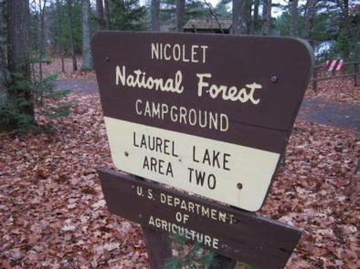
LAUREL LAKE CAMPGROUND, WI Campground Reservation, Info, Images, Map, Directions

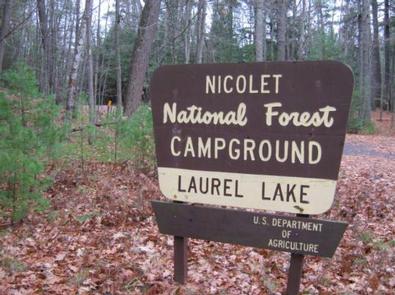
LAUREL LAKE CAMPGROUND, Wisconsin Campground Images, Info & Reservations

Directions

From Three Lakes travel 4 miles east on STH 32 to Chicken in the Woods Road. Turn left (north) and continue 1.2 miles turning left (north) on Fourmile Road. Travel 0.2 miles, turn left (west) on Leatzow Road and continue 1.2 miles to the campground.

Phone

(715) 479-2827

Activities

BOATING, CAMPING, FISHING, WATER SPORTS, KAYAKING, CANOEING

Keywords

Related Link(s)

Rec Area Info & Images

Wisconsin State Tourism

Wisconsin State Road Conditions

Overview

Laurel Lake is part of the 28 lake Three Lakes and Eagle River Chain of Lakes giving the visitor water access to nearly 11,500 acres of water and 174 miles of shoreline. The campground is located in a stand of grand old pines and young oaks.

Recreation

The chain of lakes provides ample opportunity for boating, fishing and swimming. Anglers can expect a catch of musky, walleye, northern pike, large and smallmouth bass, rock bass, perch, crappie and other panfish. The lakes are open to all types of boating, motorized and non-motorized. The campground does not offer a beach area so any swimming to be done will have to take place from your boat.

Facilities

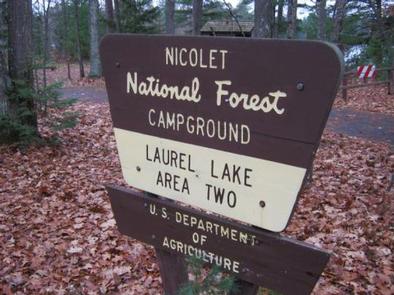
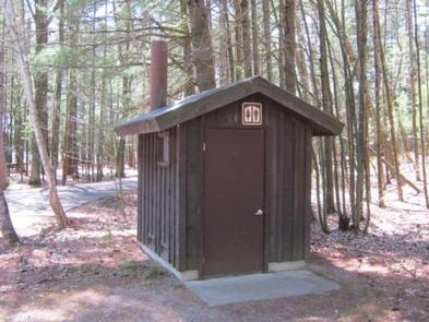
The campground offers 12 single family campsites, available for tent or RV camping. The campground is split between Area 1 which consists of eight sites and Area 2 which consists of four sites. The campground offers both first-come, first-served campsites (5) as well as sites which can be reserved in advance (7). Sites are equipped with tables and fire rings with grills. Vault toilets and drinking water are provided at the campground.

Natural Features

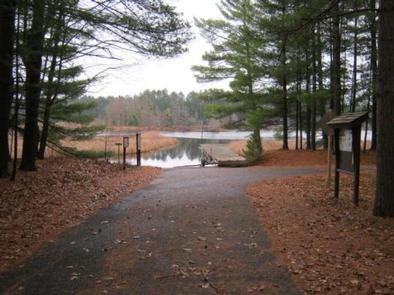
The campground is nestled in a stand of towering pines and young oak trees, at an elevation of 1,630 feet. Laurel Lake is one of 28 lakes which extend from Three Lakes to Eagle River and form the largest inland freshwater chain of lakes in the world, offering endless miles of boating and fishing opportunities, which can be access from the boat landing offered within the campground.

Nearby Attractions

The Town of Three Lakes, once named “America’s Best Town” is located seven miles from the campground. Three Lakes offers a variety of services and activities.

Reservation

More from CampingHiking.net:

CASCADE CREEK CABIN, Alaska Campground Images, Info & Reservations

Directions Access is by float plane or boat only. The cabin is located on the mainland in Thomas Bay, south of Cascade Creek and east of Spray Island. From Petersburg the journey is 14 miles by float plane or 19 miles by boat. Refer to USGS topographic map Petersburg D3;

HEYBURN PARK, Oklahoma Campground Images, Info & Reservations

Directions From Bristow, go 9 miles east and turn left on to 257th West Ave. Follow the paved road about 3 miles to the campground. From Sapulpa, take State Highway 66 west to Kellyville, turn west on to 151st South Ave and go about 3.5 miles to the 4 way

STILL CREEK, Oregon Campground Images, Info & Reservations

Directions From Portland, travel east on Highway 26 to Government Camp. Continue 1 mile east of Government Camp. The campground is on the south side of the highway. Phone 503-630-5721 Activities BIKING, HISTORIC & CULTURAL SITE, CAMPING, FISHING, HIKING, WINTER SPORTS, WATER SPORTS Keywords STIC,MT. HOOD NF – FS Related

FISH CREEK CABIN, Alaska Campground Images, Info & Reservations

Directions The cabin is located approximately 20 air miles from Ketchikan, at the North end of Thorne Arm. Accessible by float plane or boat. A saltwater mooring buoy is available on a first-come, first-served basis. Refer to USGS topographic map for Ketchikan B-4, and check local tide tables if navigating

PLASKETT CREEK CAMPGROUND, California Campground Images, Info & Reservations

Directions From San Luis Obispo, travel north on Highway 1 for approximately 65 miles to the campground. From Monterey, travel south on Highway 1 for approximately 50 miles to the campground. Phone 805-434-1996 Activities BIKING, CAMPING, FISHING, HIKING, HUNTING, WILDLIFE VIEWING Keywords Plaskett,Plaskett Creek,LOS PADRES NF -FS Related Link(s) Rec

WILLOW PRAIRIE HORSECAMP, Oregon Campground Images, Info & Reservations

Directions From Butte Falls, take County Road 821 (Butte Falls-Fish Lake Highway) approximately 17 miles southeast to Forest Road 3738. Turn west (right) on Forest Road 3738 and drive 1.3 miles to where Forest Road 3738 intersects Forest Road 3735. Turn left onto Forest Road 3735 and you will see