Colonial Creek South Campground, WA Campground Reservation, Info, Images, Map, Directions

Colonial Creek South Campground, Washington Campground Images, Info & Reservations

Directions

Colonial Creek South Campground is located near mile marker 130 on State Route 20. From Burlington, WA, drive 70 miles east on State Route 20. From Twisp, WA, drive 71 miles west on State Route 20.

Phone

360-854-7200

Activities

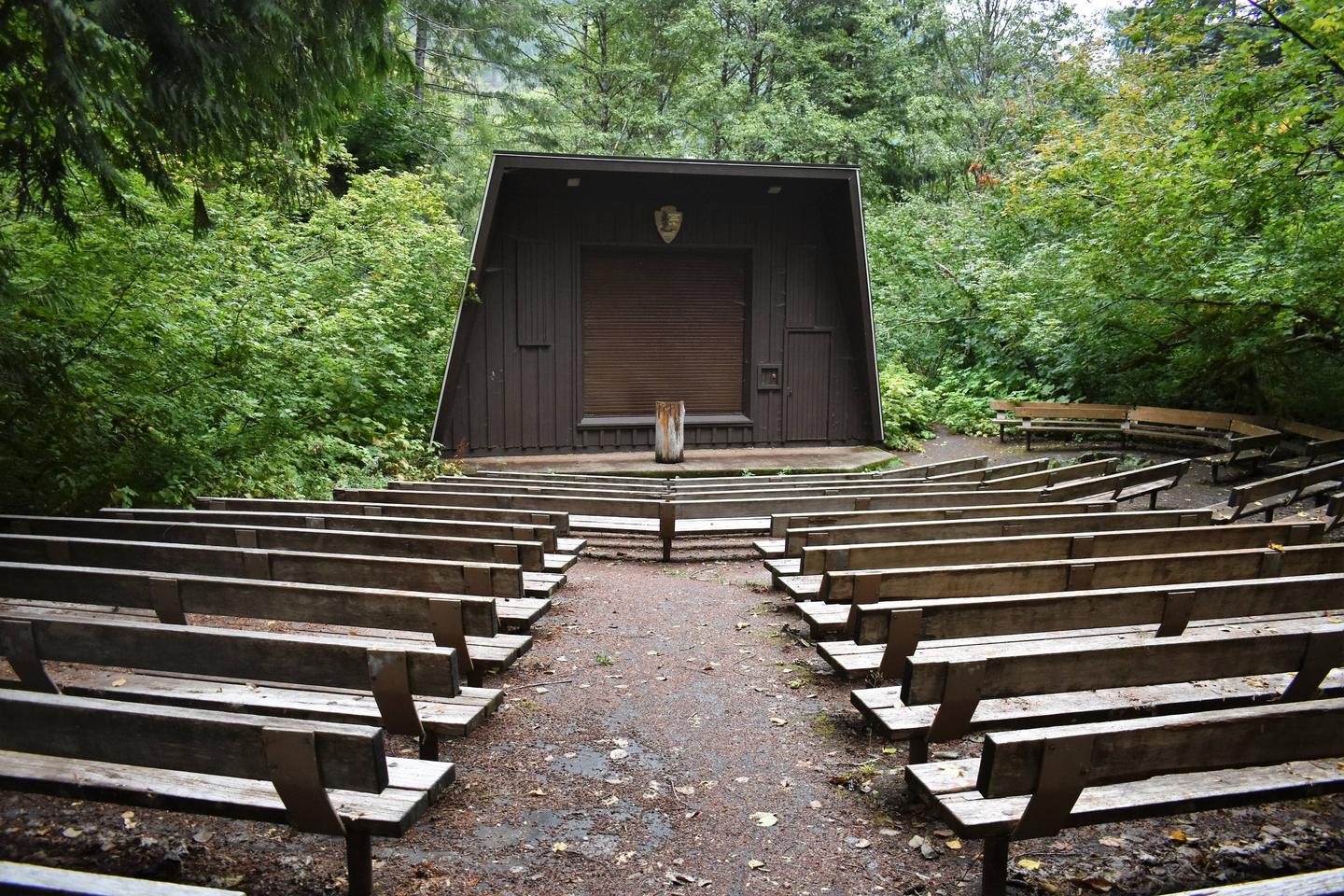
BOATING, CAMPING, INTERPRETIVE PROGRAMS, FISHING, HIKING

Keywords

Related Link(s)

Rec Area Info & Images

Washington State Road Conditions

Washington State Tourism

Overview

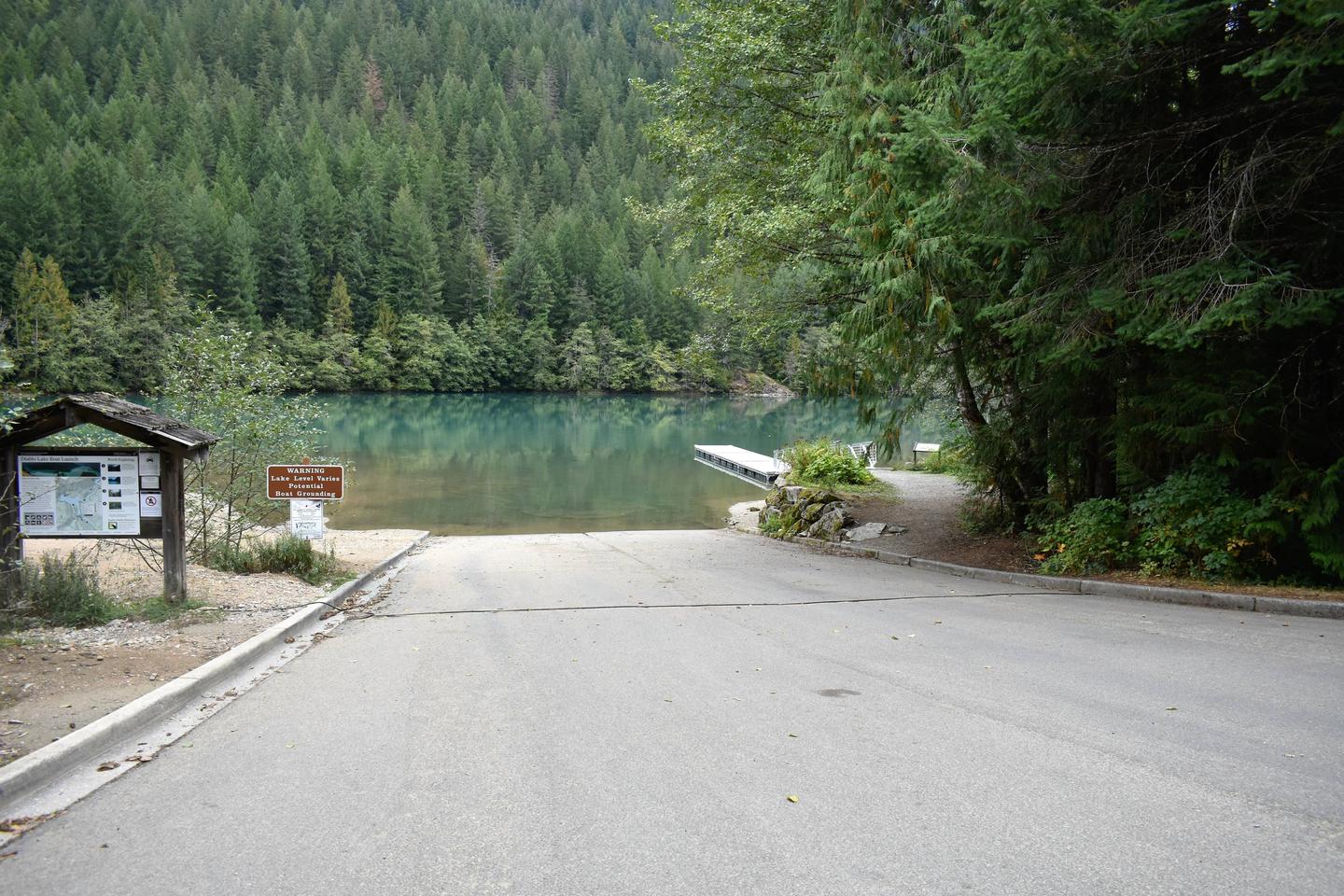
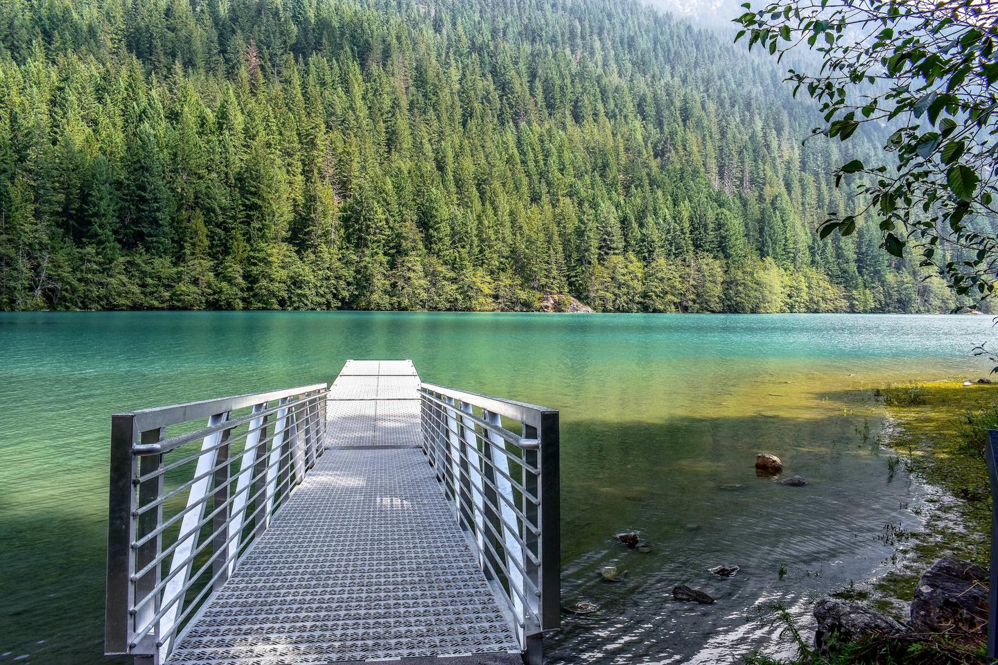
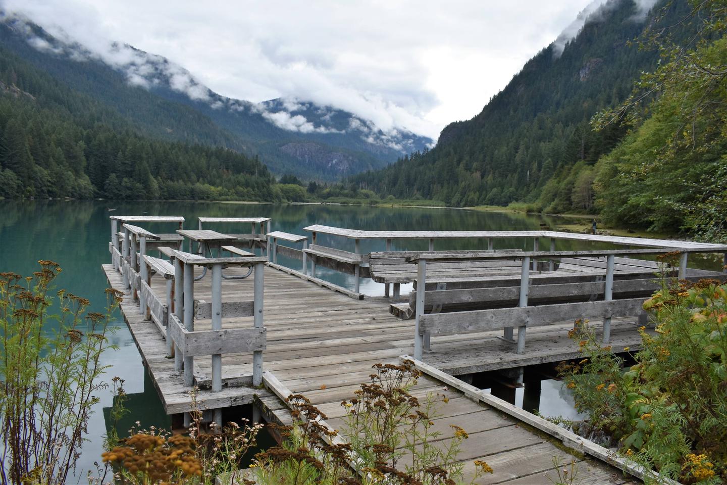
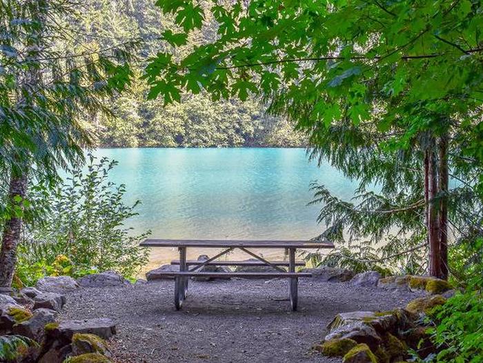
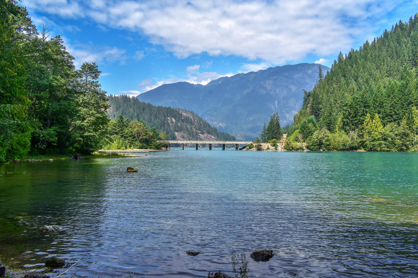
Colonial Creek South Campground in North Cascades National Park is a remote, yet bustling campground nestled in old growth forest. Located on the south side of State Route 20 near mile marker 130, there are 94 campsites that are surrounded by forest and located on Diablo Lake.

Recreation

Visitors can access several trails from within the facility, such as Thunder Knob Trail and Thunder Creek Trail. Colonial Creek South Campground is also close to several trails along State Route 20. Visitors can also go boating, fishing, and swimming (although the water is a chilly 43 degrees) on Diablo Lake. Bears do inhabit the area, so care should be taken when hiking, picnicking, or camping.

Facilities

The campground is located on the southern side of State Route 20, with some campsites along the lakefront of Diablo Lake. The entire facility offers drinking water, flush toilets, garbage removal and some paved parking spaces, but most sites have uneven gravel parking. Each campsite offers a picnic table and campfire ring.

Nearby Attractions

Diablo Lake and Ross Lake overlooks are within a short driving distance from the facility. Campers who wish to learn more about the area can attend interpretive programs at the North Cascades Visitor Center in Newhalem during peak season, or participate in a variety of tours.

Reservation

More from CampingHiking.net:

PAHA, California Campground Images, Info & Reservations

Directions Take U.S. Highway 395 through Bridgeport. Turn south on Twin Lakes Road at the Shell gas station. Travel 9.6 miles on Twin Lakes Road. Turn left into the campground. Phone 760-932-7092 Activities CAMPING, INTERPRETIVE PROGRAMS, FISHING, HIKING Keywords PAHA,HUMBOLDT-TOIYABE NF-FS Related Link(s) Rec Area Info & Images California State

GRAND VIEW, Idaho Campground Images, Info & Reservations

Directions From Ashton, Idaho, head east out on ID-47 (Mesa Falls Scenice Byway). Stay on the main road – it will make one big curve and head north, then cross Warm River (don’t turn right onto the Fish Creek Road). Turn left at the Lower Mesa Falls Overlook. The campground

CLEAR LAKE CABIN LOOKOUT, Oregon Campground Images, Info & Reservations

Directions Access begins at the junction of Highway 26 and Forest Service Road 42, 12 miles south of Government Camp, Oregon, at the Skyline Sno-Park. Guests must park and the Sno-Park and ski, snowshoe or snowmobile to the facility. From the parking area, proceed on Forest Service Road 42 to

AMITY RECREATION AREA, Georgia Campground Images, Info & Reservations

Directions From Thomson, Georgia, take U.S. Highway 78 west for 6 miles. Turn right on State Route 43 and continue for about 7.5 miles. The park is on the right (look for signs). The park is located on the McDuffie/Lincoln County line. Phone 800-533-3478 Activities BOATING, FISHING, PICNICKING, WILDLIFE VIEWING,