WYETH CAMPGROUND - DESCHUTES, Oregon Campground Reservation, Info, Images, Map, Directions

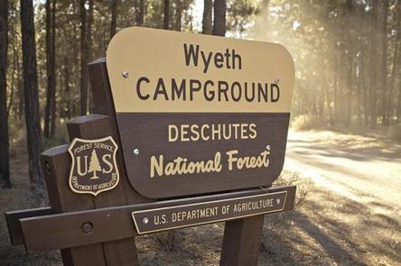
WYETH CAMPGROUND – DESCHUTES, Oregon Campground Images, Info & Reservations

Directions

From Bend, OR: Head south on Highway 97 for approximately 27 miles and 8 miles west on County Road 43, then you will see a sign for the campground on the sound side of County Road 43.

Phone

541-323-1746

Activities

CAMPING

Keywords

Related Link(s)

Rec Area Info & Images

Oregon State Tourism

Oregon State Road Conditions

Overview

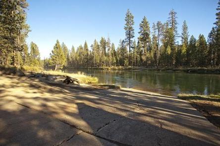
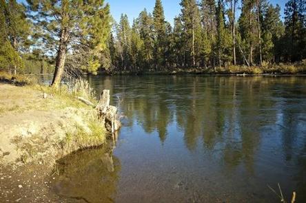
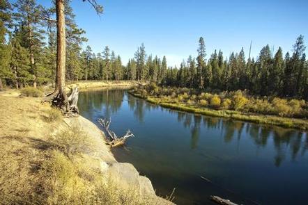
Wyeth Campground is a small campground located along the Deschutes River just downstream from Wickiup Reservoir.

Recreation

Paddling and fishing are popular activities in this area. Motorized boating is not permitted on this stretch of the Deschutes River.

Facilities

Wyeth Campground can accommodate RV, trailer or tent-campers, however, electric and water hookups are not available. Campers will need to bring their own water supply. All sites are equipped with a picnic table and fire pit and the campground has vault toilets available. This facility also has a boat ramp to provide access to the Deschutes River.

Natural Features

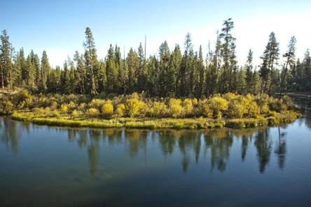
The Deschutes River flows north through mixed conifer forest.

Nearby Attractions

Visitors can explore wilderness areas, rivers, lakes and reservoirs, and approximately hundred of miles of trail. Newberry National Volcanic Monument, approxiately 45 minutes by vehicle, is a great starting point for visitors to learn about the diverse landscape and history of the area through interpretive programs and exhibits. Visitors can explore Lava River Cave, the longest continuous lava tube in Oregon. Visitors enjoy traveling the Cascade Lakes Scenic Bywaywhich climbs 66 miles through the Cascade Range, weaving past snow-capped peaks and alpine lakes.

Reservation

More from CampingHiking.net:

JACK CREEK CAMPGROUND, Oregon Campground Images, Info & Reservations

Directions From Sisters, OR: Travel 12.4 miles northwest on Highway 20, then 4.5 miles north on Forest Road 12, and then 0.6 miles north on Forest Road 1230. Phone 541-323-1746 Activities CAMPING Keywords Related Link(s) Rec Area Info & Images Oregon State Tourism Oregon State Road Conditions Overview Jack Creek

LOWER PENSTEMON, Idaho Campground Images, Info & Reservations

Directions Travel south on Twin Falls County Road G3 which becomes Forest Road 515, commonly known as Rock Creek Road, for approximately 27 miles from Hansen. Phone 208-678-0430 Activities BIKING, CAMPING, HIKING, HORSEBACK RIDING, HUNTING, WILDLIFE VIEWING Keywords LOWP,SAWTOOTH NF – FS Related Link(s) Rec Area Info & Images Idaho

HUMBUG CAMPGROUND, Oregon Campground Images, Info & Reservations

Directions 4.6 miles northeast of Detroit, Oregon. From Highway 22 at Detroit, turn east onto Breitenbush Road/Forest Service Road 46 and continue for 4.6 miles to Humbug Campground on the right. Phone 503-854-3366 Activities FISHING, WATER ACTIVITIES Keywords Related Link(s) Rec Area Info & Images Oregon State Road Conditions Forest

CHISOS BASIN (BIG BEND), Texas Campground Images, Info & Reservations

Directions From Interstate 10, take highway 385 south to Fort Stockton and then on to Marathon. From Marathon, go 40 miles south on Highway 385 to the north entrance of Big Bend National Park. Drive straight 26 miles to Park Headquarters at Panther Junction. Turn right and drive for three