
Directions
From Bend, OR: Travel about 46 miles southwest on Cascade Lakes Highway (46); take a right onto Forest Road 4635 and travel about a mile; take a right onto Forest Road 4630. The campground is near the end of the road.
Phone
541-323-1746
Activities
CAMPING
Keywords
Related Link(s)
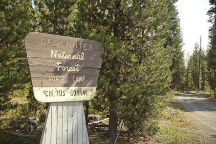
Overview
Located just a short distance from Cultus Creek, the Cultus Corral Horse Camp is designed for horse campers who wish to visit the Cascade Lakes area.
Recreation
Situated in the heart of the Cascade Lakes region between Cultus Lake and the Crane Prairie Reservoir, Cultus Corral Horse Camp offers visitors opportunities for horseback riding and hiking as well as fishing and boating at the nearby Cutlus Lake and Little Cutlus Lake.
Facilities
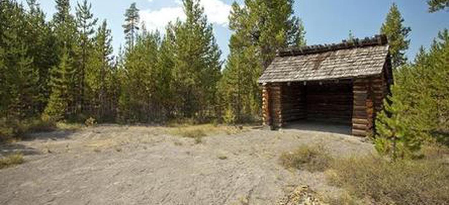
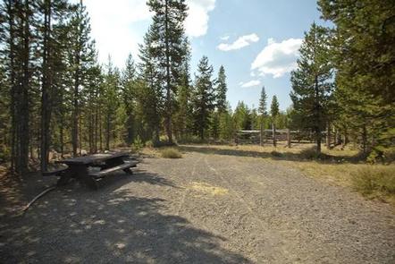
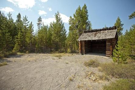
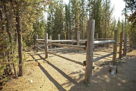
Cultus Corral Horse Camp can accommodate RV, trailer or tent-campers; however, water and electric hookups are not available. This facility does have a hand pump which provides potable water. The camp has ten sites with 4 – horse corrals and one site with highline poles. All are equipped with a picnic table and campfire ring with grill. The campground has vault toilets available.
Natural Features
Cultus Creek flows from Cultus Lake into Crane Prairie Reservoir, which is a damed portion of the Deschutes Ruver. The Deschutes River winds its way through central and northern Oregon before making its way to the Columbia River.
Nearby Attractions
Located near the Three Sisters Wilderness, Cultus Corral Horse Camp offers equestrians relatively close access to hundreds of miles of trails. Cultus Lake and Crane Prairie Reservoir, each a short drive from the campground, provide opportunities for boating, fishing and swimming. Cultus Corral Campground is also situated just off of the Cascade Lakes Scenic Byway, a 66-mile route stretching from Bend to Davis Lake that features numerous lakes, unique geological features and views of South Sister, Broken Top, Mt. Bachelor and other peaks.