FALL RIVER CAMPGROUND, OR Campground Reservation, Info, Images, Map, Directions

FALL RIVER CAMPGROUND, Oregon Campground Images, Info & Reservations

Directions

From Bend, OR: Travel 17.3 miles south on Hwy 97, then 12.2 miles southwest on County Road 42.

Phone

541-323-1746

Activities

CAMPING

Keywords

Related Link(s)

Rec Area Info & Images

Oregon State Tourism

Oregon State Road Conditions

Overview

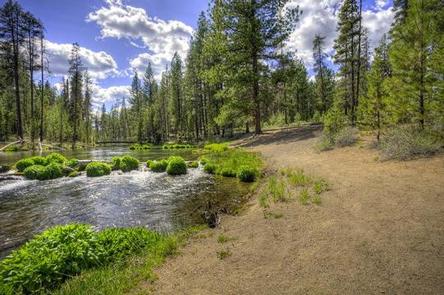
Fall River Campground is located along Fall River within the Deschutes National Forest west of La Pine. 

Recreation

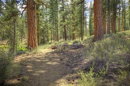
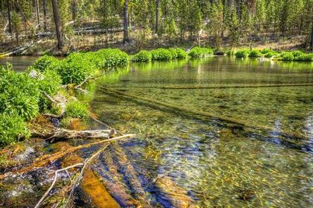
Campers can enjoy the nearby Fall River Trail which offers frequent views of crystal clear Fall River. This trail can be accessed from one of three Fall River Trailheads. Visitors can also enjoy fishing on Fall River although it is limited to fly fishing only.

Facilities

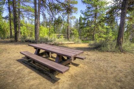
Fall River Campground sites tend to be on the smaller side without any RV hookups or services. Campers will need to provide their own water supply. All sites are equipped with a picnic table and campfire ring with grill and the campground has vault toilets available.

Natural Features

Fall River’s headwaters bubble from the ground approximately 1/4 mile from the campground. The river meanders through the forest before joining the Deschutes River. Legal-sized brook and rainbow trout are stocked several times a year.

Nearby Attractions

Fall River Trail leaves from this campground and follows the river.

Reservation

More from CampingHiking.net:

PINEY POINT, Texas Campground Images, Info & Reservations

Directions From Texarkana, take Highway 59 south to Wright Patman Lake. Just south of Sulphur River Dam, turn right into the park area, following signs. Proceed one mile to the park. Piney Point is just north of Rocky Point Park. Phone 903-796-0684 Activities BOATING, CAMPING, FISHING, HIKING, WATER SPORTS Keywords

SQUAW LAKES, Oregon Campground Images, Info & Reservations

Directions From Jacksonville, Oregon, take Highway 238 west 7 miles and turn left at Ruch on Road 859. Go 14 miles to Applegate Dam, cross over the dam (Road 1075) and continue on pavement 2 miles. When pavement ends, continue 7 miles to the campground. Phone (541) 899-9220 Activities BIKING,

FIR COVE CAMPGROUND, California Campground Images, Info & Reservations

Directions When traveling north on Highway 101, do not turn off at the Zenia Road exit at Garberville. This will result in a 2-hour delay driving on winding back roads. Instead, continue north until you reach the Hwy 36 exit near Fortuna. Turn right, heading east for approximately an hour

CRESCENT MOON, Arizona Campground Images, Info & Reservations

Directions 333 Red Rock Crossing Rd. Sedona, AZ 86336 From Phoenix, take I-17 north to State Highway 179. Go north on 179 for 13 miles to Sedona, then turn left on Highway 89A and continue south for 4 miles. Turn left on Upper Red Rock Loop Road and proceed another