

Directions
From Sisters, OR: Travel 5.6 miles northwest on Highway 20.
Phone
541-323-1746
Activities
CAMPING
Keywords
Related Link(s)
Overview
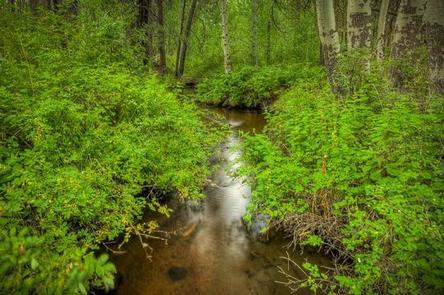
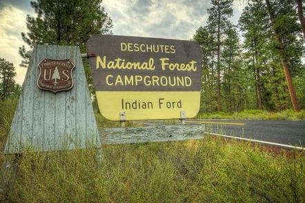
Indian Ford Campground is named for its location on Indian Ford Creek and is conveniently located between the town of Sisters and the Metolius River and Suttle Lake areas.
Recreation
This campground offers many opportunities for hiking and biking with the many trails nearby. The ponderosa pine forest provides shade as well as the chance to go bird or nature watching.
Facilities
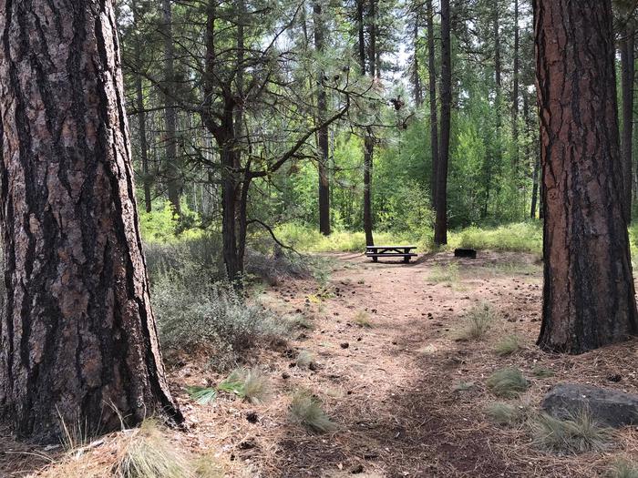
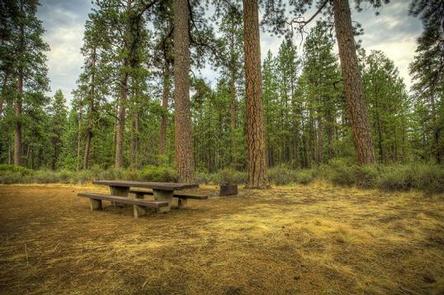
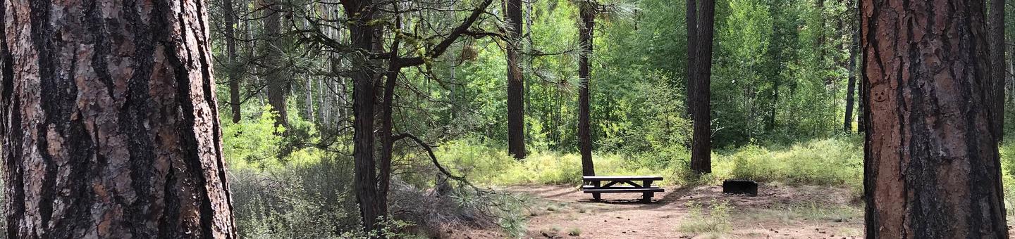
Indian Ford Campground can accommodate RV, trailer or tent-campers however water and electric hookups are not available. This is a no water facility so campers will need to bring their own supply. All sites are equipped with a picnic table and campfire ring with grill and the campground has vault toilets available.
Natural Features
Nestled in the Deschutes Forest with a pleasant, small spring running through the center of this facility, Indian Ford Campground is a great shady family spot with short hikes all around.
Nearby Attractions
The close proximity to the town of Sisters offers many additional recreation opportunities including the nearby Sisters Wilderness Trails.
Lava Lands Visitor Center in nearby Bend, Oregon, and the unique geological landscape of Newberry National Volcanic Monument draw visitors to the region as well. It is a great starting point for visitors to learn about the diverse landscape and history of the area through interpretive programs and exhibits. Visitors can also explore the Lava River Cave, located in the Newberry National Volcanic Monument. At 5,211 feet in length, the northwest section of the cave is the longest continuous lava tube in Oregon.