

Directions
From Stockton California, take State Highway 26 east for 30 miles. Turn right on Hogan Dam Road and continue for 3 miles, then follow signs to the Park Headquarters. The Observation Point and Picnic Shelter is located at the Park Headquarters parking lot.
Phone
209-772-1343
Activities
BOATING, CAMPING, FISHING, HIKING, HUNTING, WILDLIFE VIEWING, SWIMMING, WATER ACCESS
Keywords
Boat in campground,Deer Flat
Related Link(s)
California State Road Conditions
Overview
New Hogan Dam and Lake is located in the oak- and brush-covered foothills of the Sierra Nevada Mountains. The 4,400 acre lake was created in 1964 with the completion of New Hogan Dam. When full, the lake has 50 miles of shoreline and extends nearly eight miles upstream to the confluence of the north and south forks of the Calaveras River. The dam provides flood protection to the City of Stockton (among other communities) and water for irrigation, drinking and hydroelectric power. The area is generally characterized by a warm, dry climate with summer temperatures regularly soaring above 90 degrees.
Recreation
This campground is only accessible by boat and offers the only camping available on the lake outside of the main campgrounds, Acorn and Oak Knoll. Water recreation such as water skiing, wakeboarding, tubing are all frequent activities on New Hogan Lake. Fishing is allowed year-round, subject to state regulations. Popular species caught in New Hogan Lake include striped bass, black bass, catfish, bluegill and crappie.
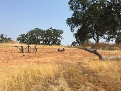
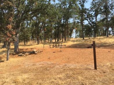
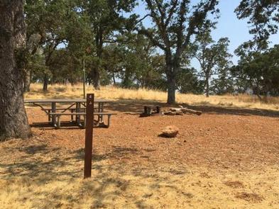
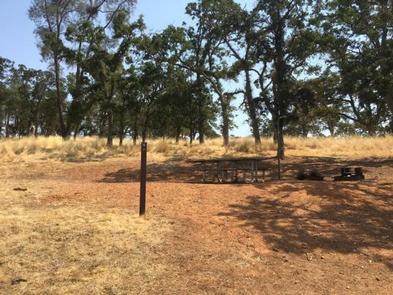
Facilities
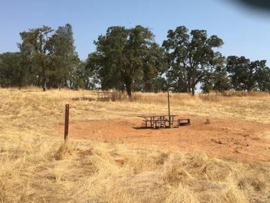
The campground features 30 tent only campsites. There are vault restrooms within the campground as well as trash receptacles. Each campsite features a fire pit and lantern holder. For those accessing Deer Flat Campground, boats may be launched and vehicles may be parked in the Fiddleneck Day Use Area.
Natural Features
Wildlife species thrive at the lake and on the surrounding 6,500 acres of US Army Corps of Engineers’ managed land. Wildlife enthusiasts may spot black-tailed deer, cottontail rabbits and jackrabbits, wild turkeys, turkey vultures, bald and golden eagles, osprey, red-tailed and other hawks, ducks and geese, California quail, acorn woodpeckers and northern flickers, coyotes, rattlesnakes and other snakes, gray fox, bobcats, and an occasional mountain lion.
Nearby Attractions
A number of historic sites are located nearby, including Carson Hill, the discovery site of the largest gold nugget ever found, and The Black Bart Inn, located in San Andreas, where the famous outlaw Black Bart was captured. Groceries, gas, camping supplies and more can be found in the nearby town of Valley Springs, California.