BUSH RECREATION AREA, PA Campground Reservation, Info, Images, Map, Directions

BUSH RECREATION AREA, Pennsylvania Campground Images, Info & Reservations

Directions

From Pittsburgh, take I-376 E (12.1 miles) keep left and continue onto US-22 E. Make a left at PA-981 N located in New Alexandria, PA near the Sheets gas station. Make a left onto Bush Road, passing Mannitto Golf Course, make another left into the Bush Recreation Area.

200 Boat Dock Road

New Alexandria PA, 15670

Phone

724-639-9013

Activities

CAMPING, DAY USE AREA

Keywords

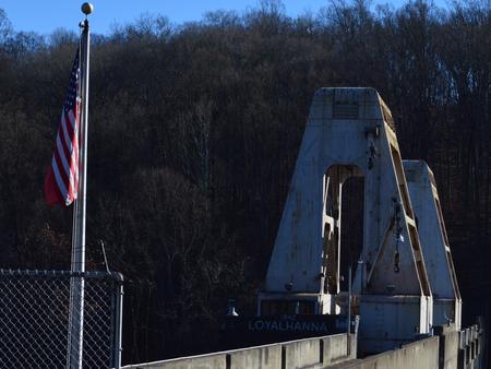
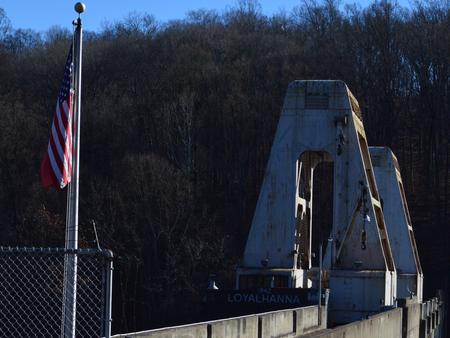
Loyalhanna Recreation Area,Loyalhanna Dam

Related Link(s)

Rec Area Info & Images

Pennsylvania State Road Conditions

Pennsylvania State Tourism

Overview

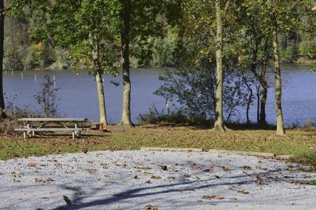
The Bush Recreation Area is located next to the scenic Loyalhanna Lake. This location provides picturesque views of the lake as well as opportunities for bird watching, boating, fishing, hunting and paddle sports.

Recreation

The Bush Recreation Area offers boating with unlimited horse power. Visitors to the area can kayak or canoe the lake as well, and take advantage of kayak rentals located in the Bush Recreation Area.
The Loyalhanna Lake offers great fishing opportunities, with multiple bass tournaments each year. This lake also has some of the best channel catfishing in Pennsylvania, with multiple fish stockings each year. If you like fishing from shore there are plenty of opportunities to fish both moving and still waters.
Those that like to go bike riding can find the West Penn Trail located at our sister project just 10 minutes away.

Facilities

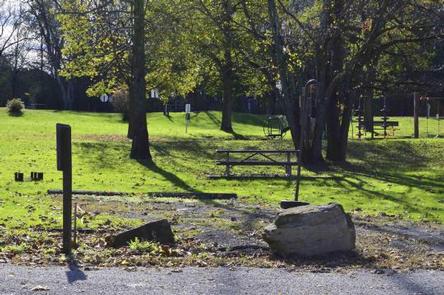
This campground has a variety of sites available from full RV hookup to primitive tent camp sites. Picnic tables and campfire grill rings are equipped at every campsite.
Patrons at the campground will have access to flushing toilets, drinking water, showers and a dump station.

Natural Features

The campground is located in a beautiful valley overlooking Loyalhanna Lake. Among terrain characterized by its diversity, visitors will discover rolling foothills of the Laurel Highlands, from which the headwaters of the Loyalhanna Creek flow.

Nearby Attractions

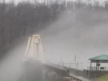
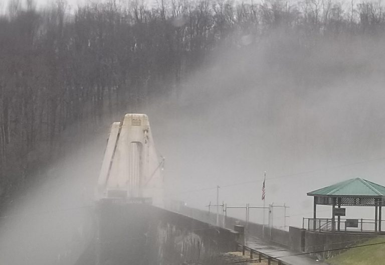
The West Penn Trail offers excellent hiking and biking opportunities within a short 10 minute drive. Additionally the site of Loyalhanna dam provides interpretive displays of the dam as well as a great scenic view.

Reservation

More from CampingHiking.net:

MATTERHORN, Colorado Campground Images, Info & Reservations

Directions From Telluride, travel approximately 7 miles south on Highway 145. Watch for campground signs; the turn off from the road is on the left. Phone 970-249-4552 Activities BIKING, CAMPING, FISHING, HIKING, HUNTING, WILDLIFE VIEWING Keywords MATT,MATTERHORN UNCOMPAHGRE N F,GUNNISON,GM,UNCOMP NF – FS Related Link(s) Rec Area Info & Images

GIRD POINT, Montana Campground Images, Info & Reservations

Directions From Hamilton, Montana, travel east on Highway 38 for about 7 miles. Turn north onto Gird Road/Forest Road 714 and continue for about 13 miles to the Gird Point Lookout Trailhead. The tower is approximately 1/2 mile hike from the parking area. Phone 406-821-3913 Activities BIKING, CAMPING, HIKING, WILDLIFE

TUNNEL MILLS II, California Campground Images, Info & Reservations

Directions From east bound Interstate 80 take exit 158A or west bound Interstate 80 take exit 158B south to Emigrant Gap. After exiting the interstate take a right on Texas Hill Road towards Emigrant Gap. Continue on Texas Hill Road for about 8 miles and turn right into the campground.

SPRUCES CAMPGROUND (DIXIE NF), Utah Campground Images, Info & Reservations

Directions Go east from Cedar City on Scenic Byway SR 14, 25 miles to the Navajo Lake road turnoff to the south. Follow the Navajo Lake road 7 miles to Spruces campground. Phone 801-226-3564 Activities BIKING, BOATING, CAMPING, FISHING, HIKING, WILDLIFE VIEWING, PHOTOGRAPHY, MOUNTAIN BIKING, KAYAKING, CANOEING, WATER ACCESS, SCENIC

ECHO LAKE, Colorado Campground Images, Info & Reservations

Directions Take I-70 westbound, Idaho Springs exit #240 – Hwy 103. Go south 14 miles to the intersection of Hwy 103 and Hwy 5 (Mt Evans Road). Turn right on Hwy 5 then turn left to enter the campground. Phone 801-226-3564 Activities CAMPING, FISHING, HIKING, WILDLIFE VIEWING, SCENIC DRIVE Keywords

SHAWNEE BEND, Missouri Campground Images, Info & Reservations

Directions From Highway 7, travel north on the Dam Access Road for 3 miles and follow signs into the park. Phone 660-438-7317 Activities BOATING, CAMPING, FISHING, SWIMMING SITE Keywords SHAW,TRUMAN LAKE,HARRY S TRUMAN Related Link(s) Rec Area Info & Images Missouri State Tourism Missouri State Road Conditions Overview Shawnee Bend