Directions
Directions: From U.S. Hwy 101 at Eureka, take Hwy 255 across the Samoa Bridge. Turn south (left) onto New Navy Base Road. Drive about four miles to parking area. From Arcata, take Samoa Blvd. west then south until it intersects with the Samoa Bridge, then follow above directions.
Phone
707-825-2300
Activities
OFF HIGHWAY VEHICLE, OFF ROAD VEHICLE TRAILS
Camping Reservations
Reserve your campsite at these camping areas:
Hiking Trails
Looking for nice hiking areas to take a hike? Choose from these scenic hiking trails:
Related Link(s)
More California Recreation Areas
Samoa Dunes Recreation Area
Welcome to the Samoa Dunes Recreation Area. As a visitor to this 300 acre park you may take advantage of a wide variety of recreational activities, including hiking, surfing, fishing, sightseeing, beachcombing, off-highway vehicle (OHV) use, picnicking, and birdwatching (you can view and print a long checklist of birds seen in this area). Due to the vast array of activities, it is important to respect the rights of other visitors as you enjoy your time. When walking in the recreation area please be aware of OHV riding areas.
Currently there are no seasonal restrictions or fees charged for recreation use at Samoa Dunes.
The following information will acquaint you with some of the resource values and recreational opportunities in the area. Enjoy your visit!
Off-Highway Vehicle Use
All riding trails are open to all OHV vehicle types.
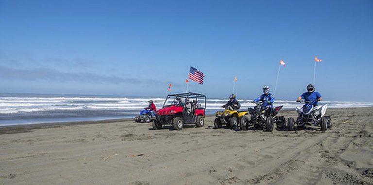
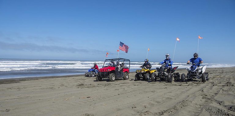
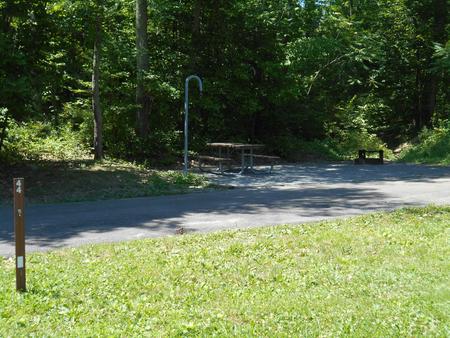
Facilities include an unloading ramp, restroom, tables, cooking grills and a scenic overlook. . From the staging area, riders have easy access to 140 acres of “open” terrain, containing numerous trails, a one-way track, a 4×4 rock crawling course, and the beach strand. An additional 75-acre riding area known as Eureka Dunes is open to OHV use and extends about 1 mile north of the park. The rest of the beach and dunes along the peninsula are closed to vehicle use, except by special permit from the county.
The following partial list of regulations and tips should help OHV users and other recreationists appreciate and enjoy the use of these public lands.
- ATV riders must wear protective helmets.
- Observe posted signs. Fenced areas mark sensitive wildlife and plant habitat, and are “closed” to vehicle use. The “open” riding areas are also posted and those on foot should be aware of their locations.
- All vehicles must be registered and a green sticker or license plate clearly displayed.
- Motorcycles must be equipped with an approved spark arrester and muffler that meets noise standards.
- Flags are required on all OHV’s in this recreation area for visibility and safety.
- Consult a tidetable booklet.
- Please respect private property.

