Directions
From Grants Pass, Oregon: Take I-5 north to exit 61, Merlin exit. Turn left and continue northwest on the Merlin-Galice Road for 23 miles.
Phone
541-471-6500
Activities
FISHING, HIKING, WILDLIFE VIEWING, PHOTOGRAPHY
Camping Reservations
Reserve your campsite at these camping areas:
Hiking Trails
Looking for nice hiking areas to take a hike? Choose from these scenic hiking trails:
Related Link(s)
Photo Album: The Wild & Scenic Rogue River
Learn more about the Rogue National Wild and Scenic River.
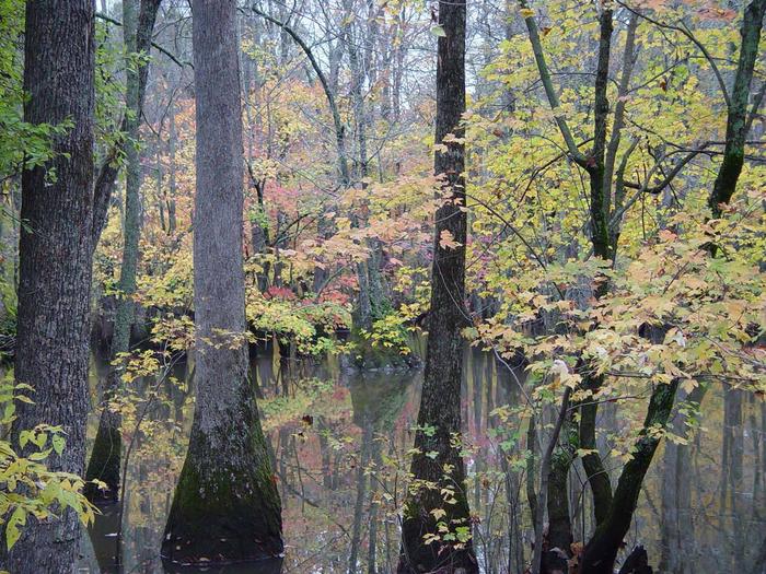
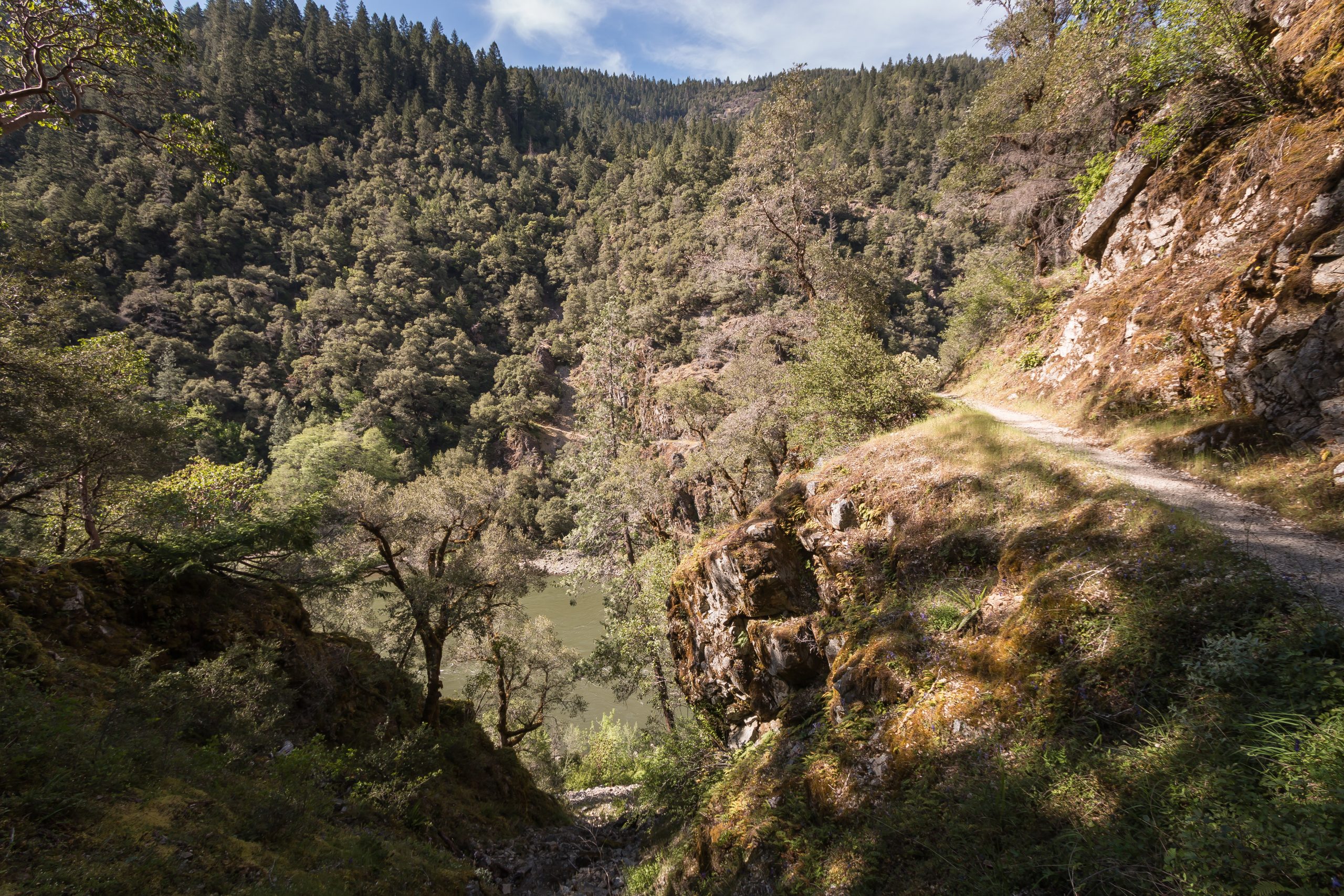
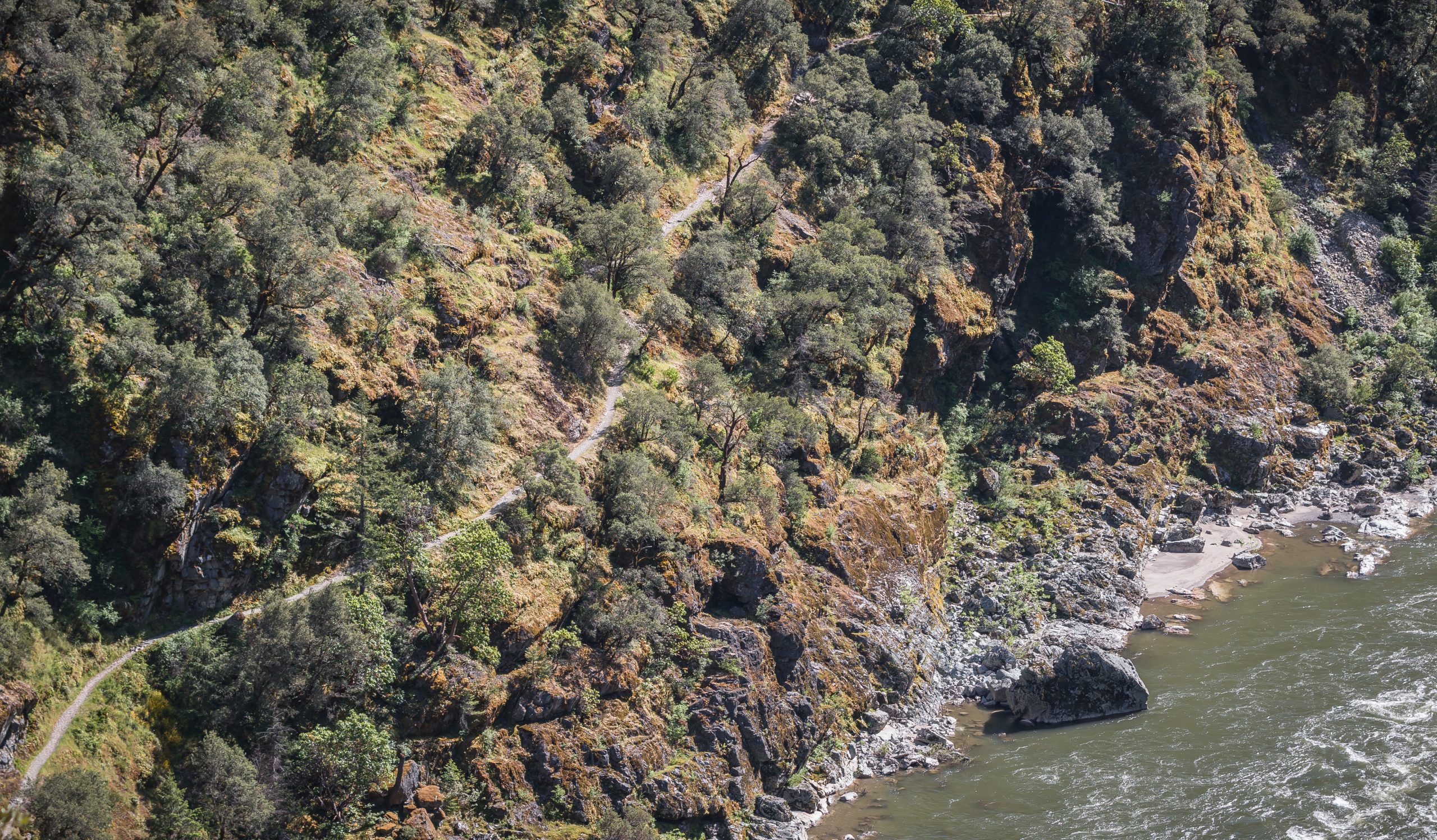
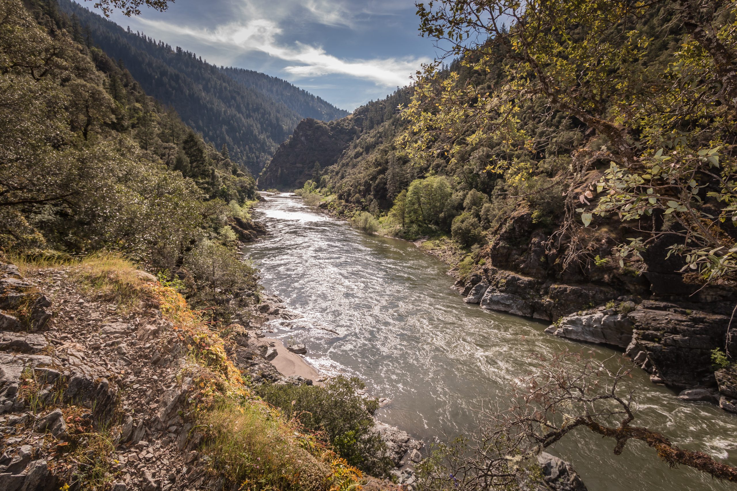
Take a hike down the 1.8-mile Rainie Falls trail following a portion of the mighty and wild section of the Rogue National Wild and Scenic River. Oaks, madrones and a variety of verdant vegetation line this path to the falls. This short trail is cut on the opposite -but generally shadier- side of the Rogue River where it’s much longer cousin, the Rogue River National Recreation Trail traverses 40 miles from Grave Creek to Big Bend.
Know Before You Go:
- Parking is available opposite the trailhead in the pullout across Galice Road.
- No facilities are available at the trailhead or at Rainie Falls, but a vault toilet is located at the Grave Creek Boat Ramp, across the Grave Creek Bridge.
Point of Interest:
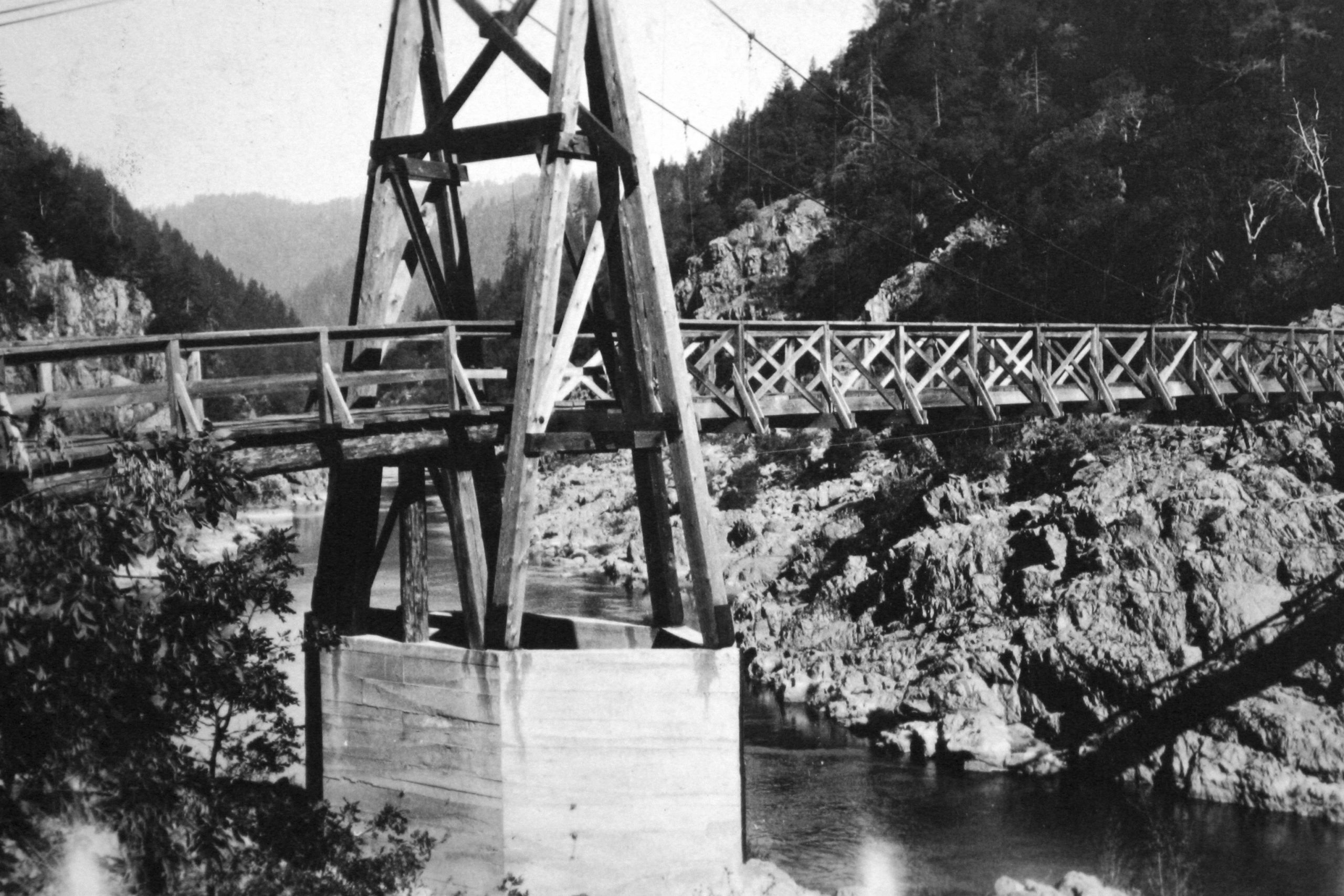
A little over a mile down the trail, look along the river side of the trail for remnants of a hexagonal suspension bridge abutment, built in 1908. The bridge washed out in 1927 and is evidence of the area™s rich mining history.