Directions
From Albuquerque, travel North on I-25, and take Exit 242 (Bernalillo), go left, and take Highway 550 West. Continue on Highway 550 West to the Village of San Ysidro. About 1 mile past the Village, the San Ysidro Trials Area will be on your right, just after an old weigh station (mile marker 25).
Phone
505-761-8700
Activities
BIKING, HIKING, HORSEBACK RIDING, OFF HIGHWAY VEHICLE
Camping Reservations
Reserve your campsite at these camping areas:
Hiking Trails
Looking for nice hiking areas to take a hike? Choose from these scenic hiking trails:
Related Link(s)
More New Mexico Recreation Areas
BLM New Mexico YouTube Channel
BLM New Mexico YouTube Channel
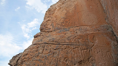
The San Ysidro Trials area is a very unique destination where trials riders, mountain bikers, and outdoor enthusiasts come to enjoy beautiful scenery and technical recreation activities. Stone badland features are widely spread within the area and create distinctive topographies, such as the delicate ecosystems of tinajas. Tinajas are naturally-formed stone bowls that fill with water during the monsoon season and from snow melt. These pools provide an oasis for migratory birds, game species, and many other microorganisms.

