Directions
Site is 4 miles west and 1 mile south of Kirwin, KS or 11 miles southeast of Phillipsburg, Kansas. Nearest highway is State Highway 9.
Phone
785-543-6673
Activities
BOATING, FISHING, HUNTING, WINTER SPORTS, WILDLIFE VIEWING
Camping Reservations
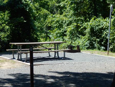
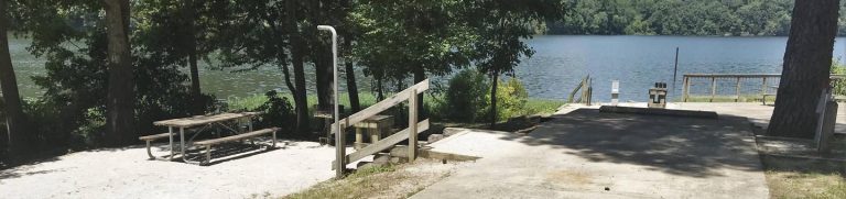
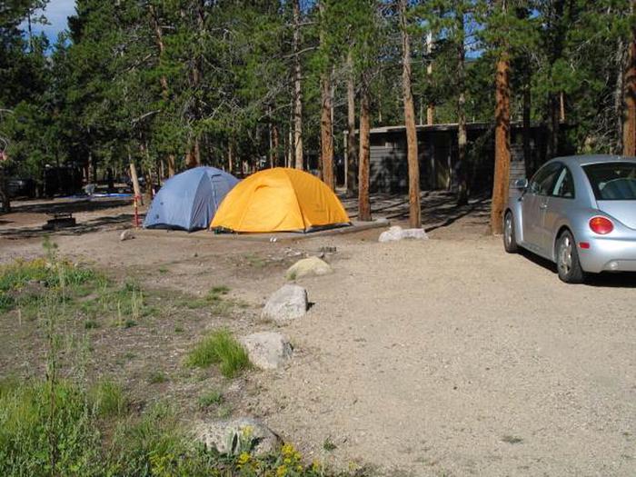
Reserve your campsite at these camping areas:
Hiking Trails
Looking for nice hiking areas to take a hike? Choose from these scenic hiking trails:
Related Link(s)
Kirwin National Wildlife Refuge (NWR), the first national wildlife refuge in Kansas, was established in 1954 as an overlay project on a Bureau of Reclamation irrigation and flood control reservoir. Kirwin Dam and Reservoir are features of the Kirwin Unit, P-SMBP. Reclamation owns the land and controls reservoir water levels while the Refuge staff from the Fish and Wildlife Service manages all other activities on the land and water. The reservoir is fed by the North Fork of the Solomon River and Bow Creek. Both are intermittent streams, which means they may dry up in periods of low precipitation. The reservoir and refuge are open 24 hours. Good access roads. Available species of fish include crappie, walleye, wipers, largemouth and smallmouth bass, channel and flathead catfish, and freshwater drum. Fishing is year round. Current Reservoir Level.