Directions
For directions to the Becharof Wilderness please contact Refuge staff with the contact information provided on this profile page. Should you fly into King Salmon, the refuge office is located approximately 1/8 mile across from the King Salmon Airport. Signs leading to the office complex are readily visible, and assistance can be obtained from the refuge visitor center which is adjacent to the airport terminal. Regularly scheduled commercial flights are available between King Salmon and Anchorage.
Phone
907-246-4250 or 907-246-3339
Activities
WILDERNESS
Camping Reservations
Reserve your campsite at these camping areas:
Hiking Trails
Looking for nice hiking areas to take a hike? Choose from these scenic hiking trails:
Related Link(s)
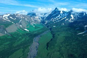
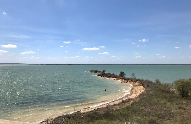
Becharof Wilderness was established in 1980 with the passage of the Alaska National Lands Conservation Act (ANILCA), incorporating approximately 503,000 acres. Although the landscape of the Alaska Peninsula is de facto wilderness, this federally designated area has additional protections. The Wilderness contains a broad diversity of habitats. The eastern boundary is the Pacific Ocean, lined with swathes of sandy beach, rocky coastline, and steep cliffs. Uplifted layers of fossil-bearing rock tilt into the sea, windswept and traced with the tracklines of brown bears. In summer, the cliffs are packed with thousands of murres and kittiwakes, their calls reverberating over the surf. The boundary on the north follows the knife-edged peaks of the Kejulik Mountains that separate the Refuge from Katmai National Park. These uplands shed meltwater from the winter snows into the Kejulik River and its valley, spurring vigorous growth of brush that provides shelter and food for moose. Extending almost to Whale Mountain to the west, the boundary line follows the shore of Becharof Lake, out to the end of the Severson Peninsula that divides Island Arm from the open water. Sockeye salmon mass in the streams well into the fall, drawing char and grayling, bears and cormorants. The flat tundra by the lake bears tiny wind-compressed blossoms in summer, and scattered berries later in the year. The southern boundary line crosses the Arm and the Aleutian Range, back to the coast at Cape Unalishagvak. A prominent point of land, formed by the actions of ancient glaciers, extends from the northern shore of Becharof Lake. Near the end is a cluster of small cabins, built in 1967 as a Christian camp. These were incorporated into the Wilderness, and still see use today by anglers, hunters, pilots, students, Refuge staff, and other visitors. The Refuge stores emergency supplies and equipment at Bear Creek Camp to help those trapped by weather or other circumstances.

