Directions
The Cebolla Wilderness is south of Grants, NM. The Wilderness is located within the El Malpais National Conservation Area.
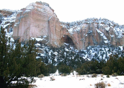
La Ventana Arch Trail
From Interstate 40, Drive south on NM Hwy 117 for approximately 8.5 miles from the BLM Ranger Station (17.5 miles from I-40) to the parking area on the left.
Narrows Rim Trail
The trailhead and parking area for the Narrows Rim Trail are located at the south end of the Narrows Picnic Area 21.5 miles south of I-40 on NM 117.
Lobo Canyon Trail
From I-40, drive 26 miles south on NM Hwy 117 to the Cebolla Canyon Rd. Drive approximately 5 miles (passing the Sand Canyon Rd. at approximately 3 miles) to a parking area on the right side of the road. The trailhead is on the north side of the road and leads to a petroglyph area
Homestead Canyon Trail
From I-40, drive 31.6 miles south on NM Hwy 117 to CR 41 (gravel, known as �the Pietown road�). Drive south on CR 41 for approximately 2.3 miles to Homestead Canyon Rd and turn left. Drive for just over 1 mile to a parking area on the wilderness boundary.
Armijo Canyon Trail
From I-40, drive 31.6 miles south on NM Hwy 117 to CR 41 (gravel, known as �the Pietown road�). Drive south on CR 41 for approximately 3.7 miles until you reach a sign for Armijo Canyon, which will be on the east side of the road. Turn left and after approximately 1.5 miles there is a parking area at the wilderness boundary.
Phone
505-761-8700
Activities
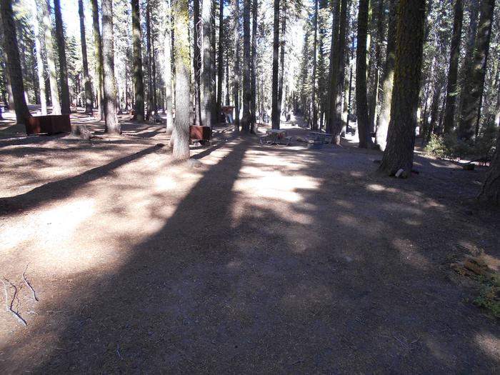
CAMPING, HIKING, HORSEBACK RIDING, WILDLIFE VIEWING, WILDERNESS
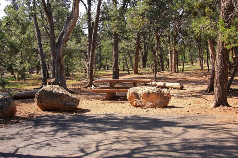
Camping Reservations
Reserve your campsite at these camping areas:
Hiking Trails
Looking for nice hiking areas to take a hike? Choose from these scenic hiking trails:
Related Link(s)
More New Mexico Recreation Areas
BLM New Mexico YouTube Channel
BLM New Mexico YouTube Channel
The 61,600 acre Cebolla Wilderness is made up of Sandstone mesas, canyons, and grassy valleys. Juniper and piñon dominate and ponderosa pine is found on north facing slopes. Vertical escarpments provide excellent nesting habitat for golden eagles, prairie falcons, red-tail hawks, and great horned owls. The Cebolla Wilderness is rich in prehistoric archaeological sites, petroglyphs, and historic homesteads. One notable archaeological site is the Dittert Site. Sometime between A.D. 1000 and 1300, the Dittert Site was built and inhabited by the ancestors of modern Pueblo Indian people. The Cebolla Wilderness also contains La Ventana Natural Arch, a dramatic arch sculpted through wind and water erosion in the sandstone cliffs. The Wilderness is located within the El Malpais National Conservation Area.