Directions
Seismosaurus Trailhead
From Bernalillo, travel on U.S. 550 about 21 miles (about 2 miles before San Ysidro) turning left onto Cabezon Road (County Road 906). Follow the left fork approximately 91/4 miles to an Ojito Wilderness sign. Continue almost 3/4 mile to parking area on the left. A trail leads north, across the road and through a fence, into the Wilderness.
Hoodoo Trailhead
From Bernalillo, travel on U.S. 550 about 21 miles (about 2 miles before San Ysidro) turning left onto Cabezon Road (County Road 906). Follow the left fork approximately 91/4 miles to an Ojito Wilderness sign. Continue almost 3/4 mile to a developed parking area on the left side of the road. From the parking area, walk back about 400 feet to the east where a trail leads north into the Wilderness on the opposite side of the road.
Please Note:
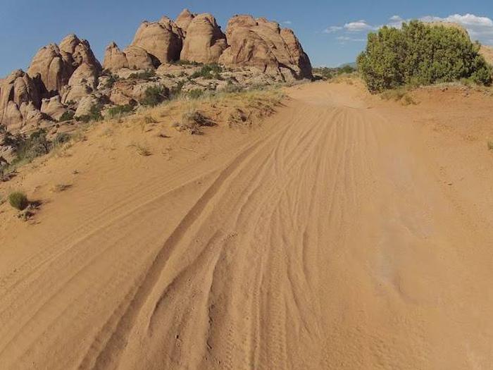
1. Though these trailheads are off regularly maintained roads, they are not paved. Conditions of roads can change at any time due to weather. Drivers should avoid dirt roads during rain or snow. Drivers should be cautious of wash-out following rain or snowmelt.
2. Though camping in the Wilderness is a rewarding experience, there are no water sources. Visitors must carry all the water they will need for the duration of the trip.
Phone
505-761-8700
Activities
CAMPING, HIKING, HORSEBACK RIDING, WILDERNESS, PHOTOGRAPHY
Camping Reservations
Reserve your campsite at these camping areas:
Hiking Trails
Looking for nice hiking areas to take a hike? Choose from these scenic hiking trails:
Related Link(s)
More New Mexico Recreation Areas
BLM New Mexico YouTube Channel
BLM New Mexico YouTube Channel
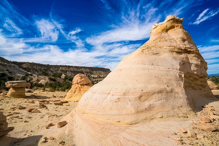
The Ojito Wilderness is a desert landscape of steep-sided mesas, rocky terraces, retreating escarpments, box canyons, deep meandering arroyos, and austere badlands. Bands of multi-colored shale, sandstone, and limestone draw attention to cliff sides. Occasional badland settings, with their unusual hoodoos (weathered rock in the form of pinnacles, spires, cap rocks, and other unusual forms), accent the landscape. PiÑon and juniper are dotted throughout the Wilderness, and rare stands of ponderosa pine can be found tucked into shady recesses.

